Shipwreck Beach
"The reef that sank it is the same reef keeping the rest of the coast this untouched."
A wind-scoured stretch of Lanai's north shore where a rusting World War II tanker still sits offshore, and the shoreline is one long open-air museum of debris and driftwood.
The road out to Shipwreck Beach on Lanai’s northeast shore is unpaved for the last stretch, rutted enough that our rental Jeep’s suspension earned its keep. I’d read that the beach was named for a shipwreck and pictured something dramatic and singular. What’s actually there is stranger and better: an entire coastline shaped by centuries of things running aground on the same reef.
The Rusting Tanker Everyone Comes to See
The wreck people photograph is a World War II-era Liberty ship, deliberately grounded here decades ago and left to rust, its hull now a dark orange skeleton sitting maybe half a mile offshore, visible clearly from the beach. The reef that caught it — Kalohi Channel’s shallow shelf between Lanai and Molokai — has been sinking ships for centuries, going back to Hawaiian voyaging canoes and colonial-era vessels caught by currents nobody warned them about.
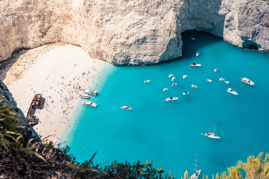
Walking the beach itself takes longer than you’d expect — it stretches for miles, and the wind off the channel doesn’t let up. I walked maybe forty minutes before turning back, passing driftwood logs bleached white, old glass fishing floats caught in tide pools, and a few actual pieces of wreckage that had washed ashore and been left where they landed.
A Coast That Doesn’t Perform
There’s no snack stand, no lifeguard tower, nothing designed for a visitor’s comfort. Swimming is discouraged here — the currents and the reef make it genuinely unsafe, not just inconvenient — so this is a walking beach, a looking beach. Lia found a length of old anchor chain half-buried in sand and spent ten minutes trying to guess its age before giving up and just photographing it.
Petroglyphs exist on rocks near the trailhead if you know where to look, carved by Hawaiians long before any ship wrecked here, a reminder that the coast had a life and a name before the wreck gave it an English one.
When to go: Year-round for the walk, but mornings are calmer and cooler before the trade winds pick up in full force. Bring real shoes — the sand gives way to coral rubble and rock in stretches, and a 4WD vehicle is necessary for the access road.
Keep exploring
More from Hawai'i
 hawaii
 South Point
The southernmost point in the United States — wind-scoured cliffs, cliff-jumping fishermen, and a trail to a green sand beach found almost nowhere else on Earth.
Explore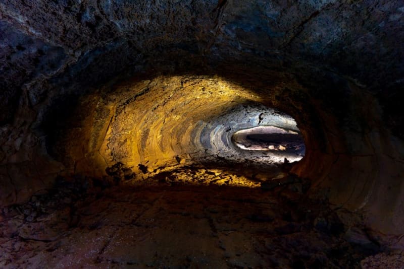 hawaii
 Thurston Lava Tube
A walk-through tunnel carved by molten rock centuries ago, framed by one of the lushest fern forests on the Big Island.
Explore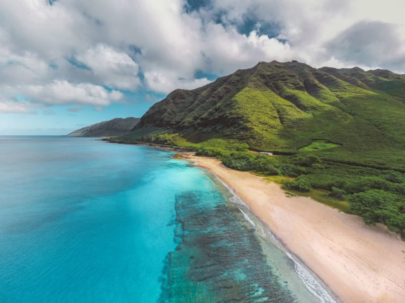 hawaii
 Tunnels Beach
A crescent reef at the foot of the Nā Pali cliffs where lava tubes riddle the coral and Mount Makana rises straight out of the sand.
Explore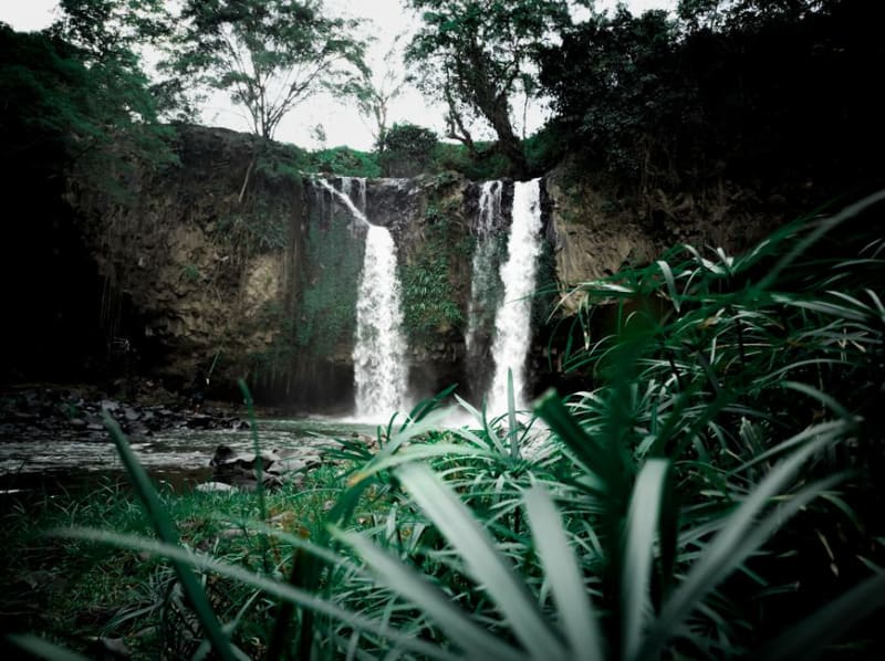 hawaii
 Twin Falls
The first real waterfall stop on the Road to Hana, a family-run fruit stand and a network of swimmable pools that reward an early start.
Explore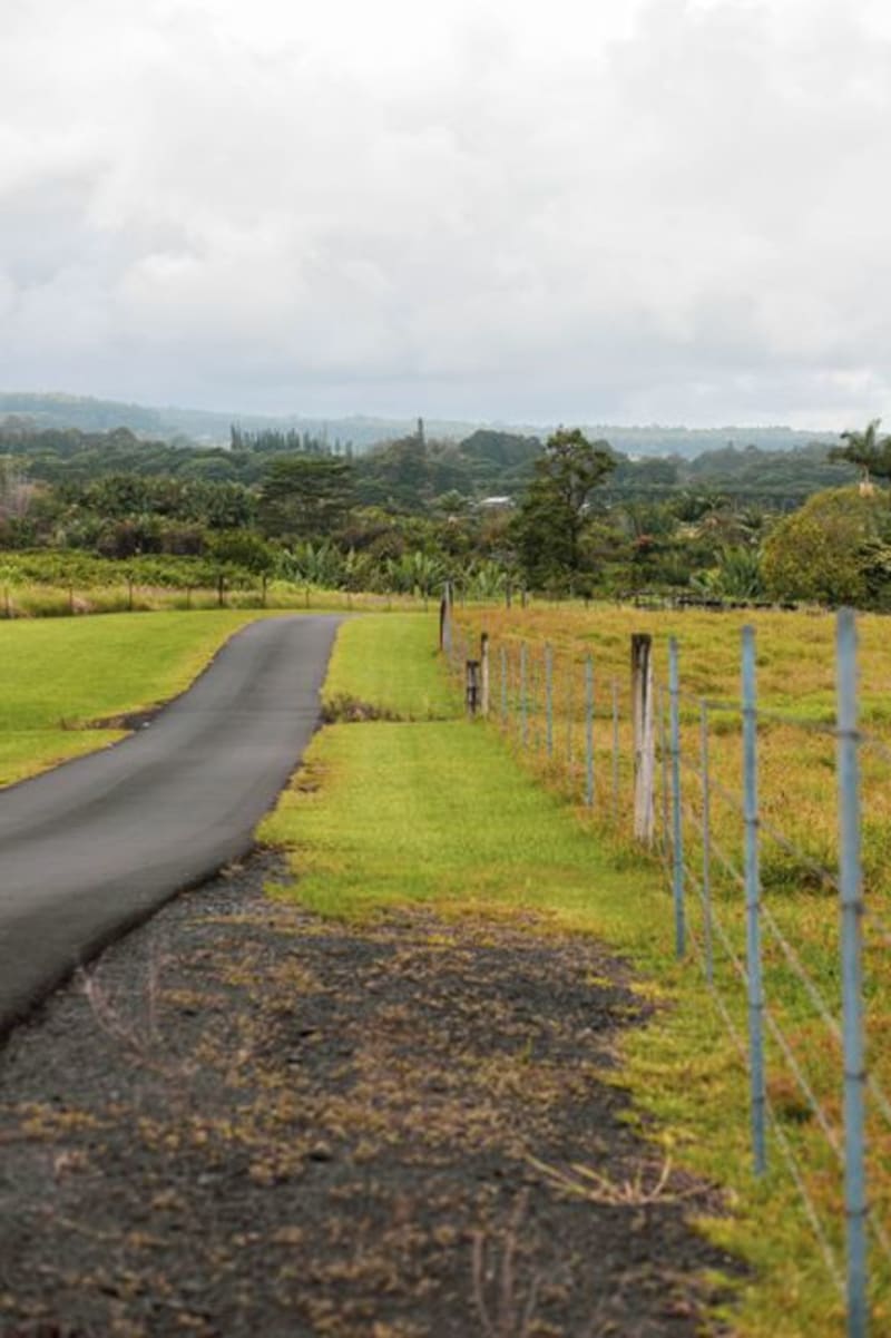 hawaii
 Ulupalakua Ranch
A working cattle ranch and vineyard on Haleakala's high southern slopes, where Maui trades beaches for paniolo culture and estate-grown wine.
Explore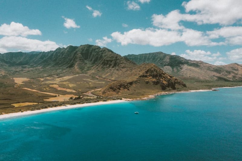 hawaii
 Waianae Coast
Oahu's leeward edge, where the tourist infrastructure runs out entirely and the island's driest, least performed-for side begins.
Explore