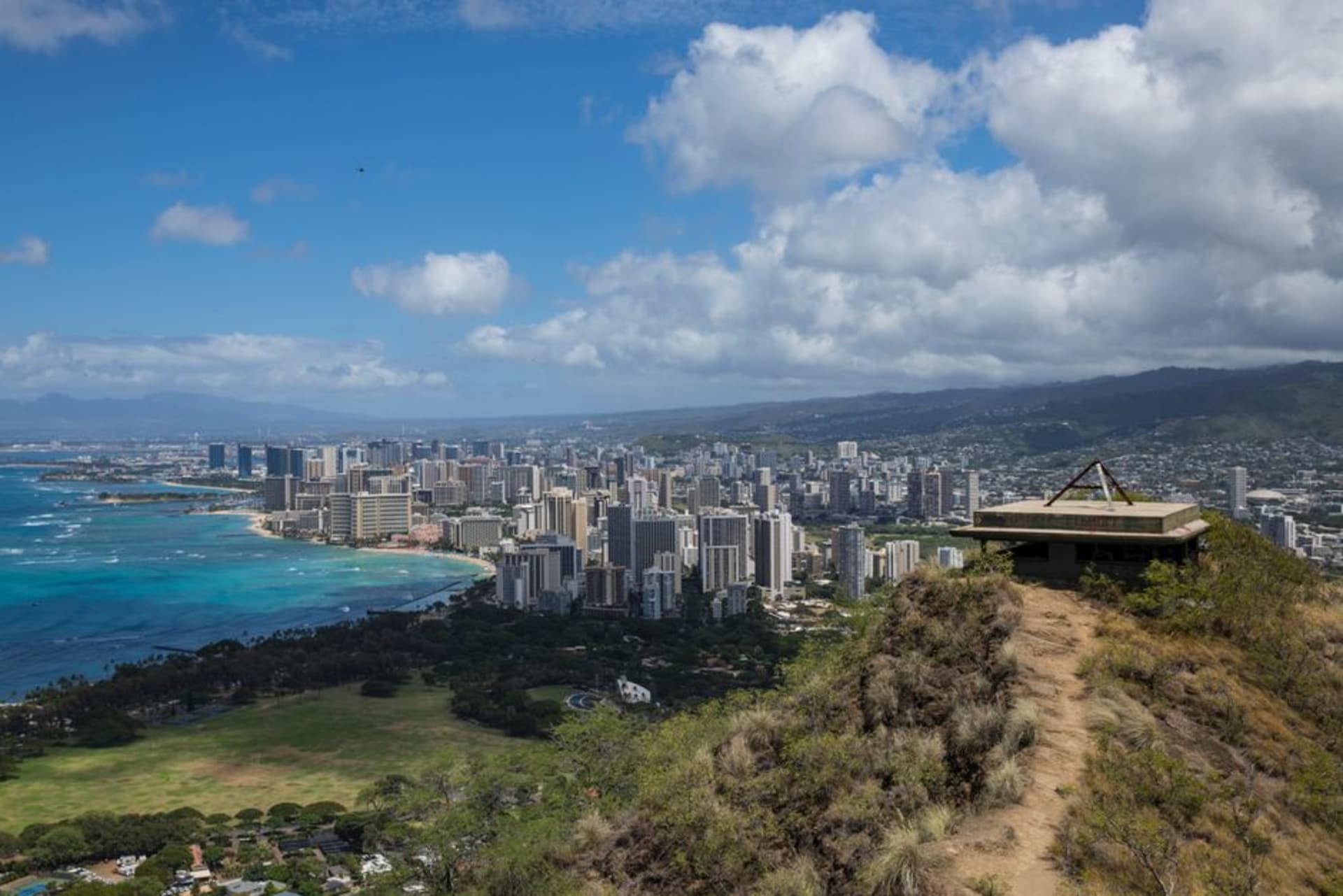
A ridgeline 4x4 track and hiking trail climbing Lanai's highest peak through Norfolk pine forest, with views stretching to four other Hawaiian islands.
Lanai gets maybe a fraction of the attention its neighbors do, and even within Lanai, most visitors stick to Hulopoe Bay and the resort at Manele. The Munro Trail is the island’s interior secret — a narrow ridgeline road climbing to Lana’ihale, Lanai’s highest point at just over three thousand feet, through a forest that has no business existing on an island otherwise defined by dry red dirt and scrub.
A Forest Planted by One Very Determined Man
The trail is named for George Munro, a New Zealand-born naturalist who managed the Lanai Ranch in the early twentieth century and, worried about the island’s dwindling water supply, planted Norfolk Island pines across the upper ridges specifically because their needles are efficient at condensing moisture from passing clouds. It worked — the pines here still capture fog drip that recharges the island’s watershed, and driving through them is genuinely disorienting on an island where everything below looks like Mars.
Not a Trail for Every Rental Car
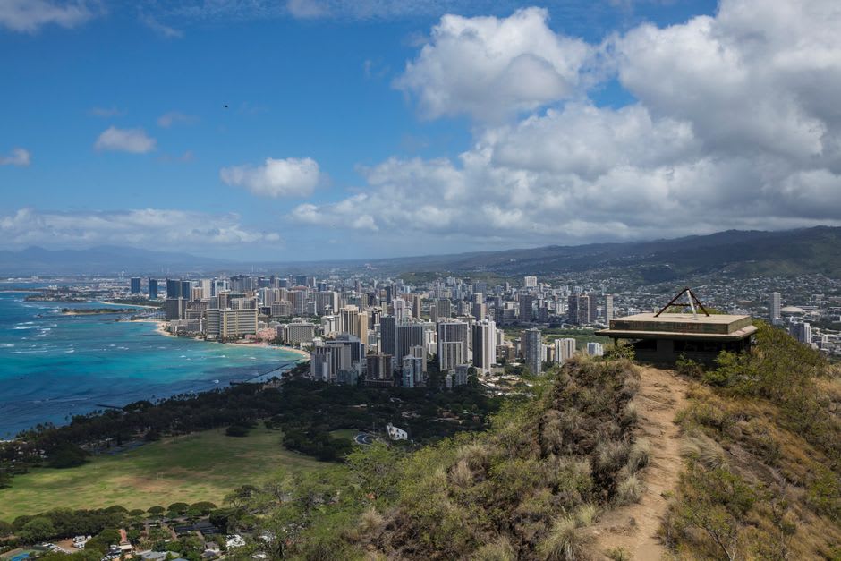
We did this in a rented 4x4, which is close to mandatory — the road is unpaved, narrow, rutted, and prone to becoming genuinely dangerous mud after rain, with drop-offs on either side that don’t invite mistakes. It can also be hiked, about eleven miles round trip if you go the full distance, which we didn’t; we drove most of it and got out to walk the final stretch to Lana’ihale’s summit ourselves. Either way, this is not a casual detour — check conditions before committing, and don’t attempt it in a two-wheel-drive sedan no matter what the GPS suggests.
At the summit, on the clear afternoon we caught, we could see Molokai, Maui, and even a hazy suggestion of Oahu and the Big Island across the channel — four islands visible at once from a ridge where we saw exactly one other vehicle in three hours.
Lanai City, Before and After
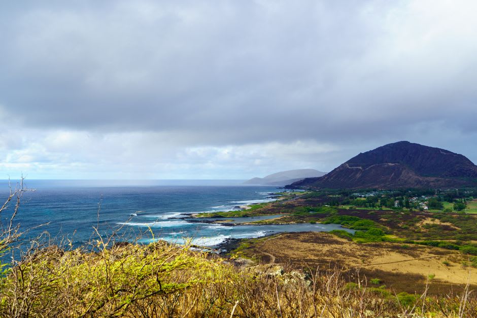
We started and ended the day in Lanai City, the plantation-era town at the island’s center — plantation-style cottages, a handful of local restaurants around Dole Park’s square, and a pace of life that feels closer to a small rural town anywhere than a Hawaiian tourist destination. After hours on a muddy ridge road, a plate lunch at a picnic table in Dole Park, watching kids play in the grass square, was exactly the right way to come back down to earth.
When to go: Dry season (roughly April through October) for a safer, more manageable road surface — the trail turns to serious mud after rain and can be genuinely impassable. Go on a clear day if possible; the whole point of the summit is the island views, and cloud cover erases them completely.