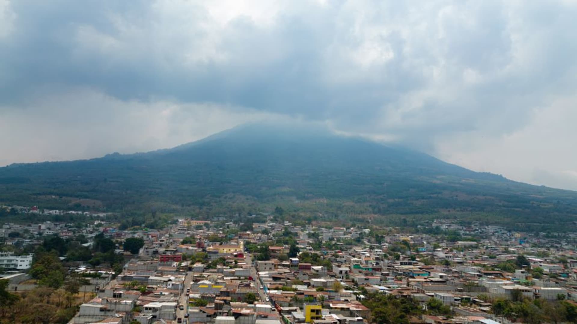
Santa María de Jesús
"In Santa María de Jesús the volcano isn't scenery, it's the neighbor everyone quietly keeps an eye on."
A Kaqchikel weaving town at the literal foot of Volcán de Agua, where the trailhead to the summit starts a few steps from the market stalls.
The chicken bus dropped me at the edge of town, and from there the streets simply climb — steep, narrow, cobbled lanes that make you understand immediately why Santa María de Jesús is the main starting point for the hike up Volcán de Agua. The volcano isn’t a distant backdrop here the way it is from Antigua; it fills the entire southern horizon, close enough that its lower slopes seem to merge directly into the town’s last row of houses.
Weaving Before Dawn
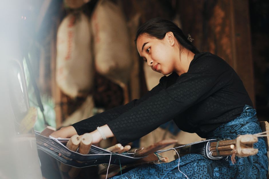
I’d arranged, through a guesthouse contact, to meet a Kaqchikel weaver named Juana before my hike, mostly out of curiosity about the huipiles I kept seeing women wear around town — deep reds and purples with geometric bird motifs specific to this town, distinct from the patterns I’d seen in Atitlán villages. She had her backstrap loom tied to a post in her courtyard and worked while we talked, the shuttle moving with a rhythm that clearly required no conscious thought after decades of practice. She told me each town’s huipil pattern functions almost like a passport — she can tell where a woman is from just by reading the weave, the way I might place someone’s accent.
The Climb Itself
The hike up Volcán de Agua starts right at the edge of town and is steep almost immediately — a relentless grind through cloud forest and then through cultivated fields worked by farmers who plant vegetables surprisingly high on the volcano’s slopes. My guide, a young man from town who does the route two or three times a week for hikers, pointed out where the 1541 mudslide that destroyed the old capital at Ciudad Vieja is thought to have originated, a detail that made the climb feel less like a scenic hike and more like walking the source of a five-hundred-year-old event I’d only heard about secondhand until then.
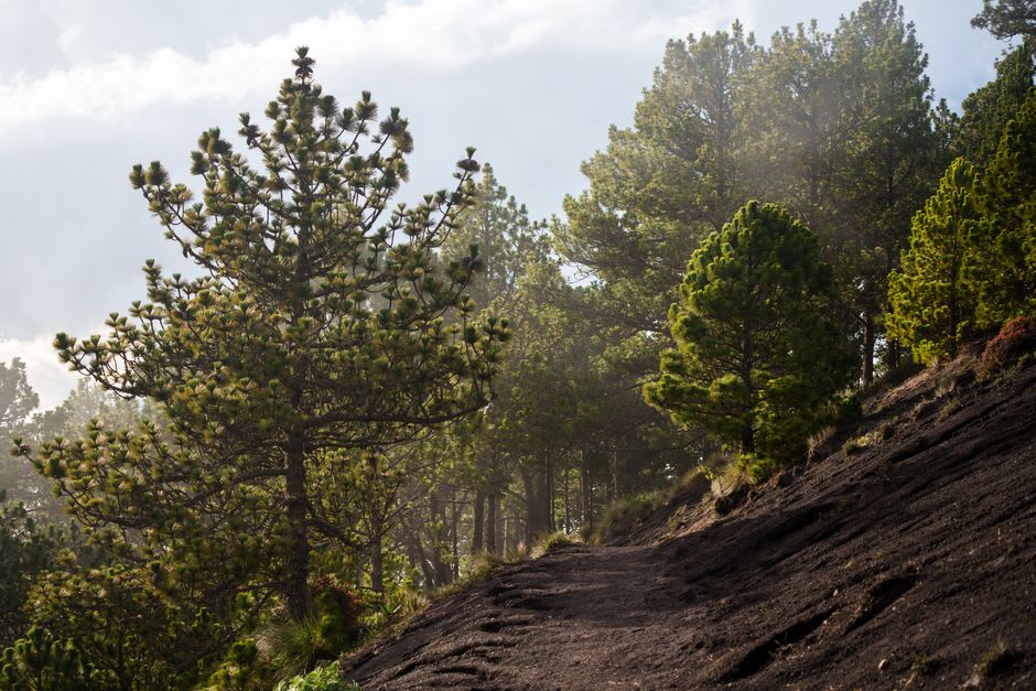
We didn’t summit that day — cloud cover rolled in around two-thirds of the way up and my guide, sensibly, called it — but even the lower slopes gave a view back down over Santa María de Jesús’s terracotta roofs and, further off, the hazy sprawl toward Antigua. I came back down and ate tamales sold from a bucket outside the church, legs shaking, entirely satisfied with an unfinished hike.
When to go: Attempt the summit hike between November and April for the clearest skies and driest trail conditions; start before dawn, since cloud typically builds over the peak by early afternoon regardless of season.