Ovalau Island
"Levuka is the only place in Fiji where I felt like I was walking through a photograph someone forgot to update."
A sleepy volcanic island in the Lomaiviti group where Levuka, Fiji's UNESCO-listed former colonial capital, sits frozen somewhere in the 1880s.
The ferry from Suva to Ovalau takes about three hours and drops you at a wharf in Levuka that looks, from the water, almost nothing like the rest of Fiji — a single street of weatherboard shopfronts with verandas and false-front facades, backed directly against a wall of green mountain that seems to rise straight out of the town. Levuka was Fiji’s first capital and its main port of entry during the copra-trading, blackbirding, and whaling years of the nineteenth century, before the administration relocated to Suva in 1882 for a bigger, flatter harbour. What was left behind is essentially a town that stopped expanding, and UNESCO listed the whole waterfront as a World Heritage Site in 2013 for exactly that reason.
I walked the main street with Lia on our first afternoon, past the Ovalau Club with its faded sign and dart board visible through open shutters, past the old Morris Hedstrom store that’s now a small museum, past a row of Chinese-run general stores that have apparently been run by the same families for three or four generations. An elderly man sitting outside one of them told us, unprompted, that his grandfather had arrived as an indentured labourer and that the family had simply never left, and that most of Levuka’s shopkeepers could tell you a version of the same story. There is a particular texture to a town that isn’t performing its own history for visitors, and Levuka has it — the buildings are original, not restored to a theme.
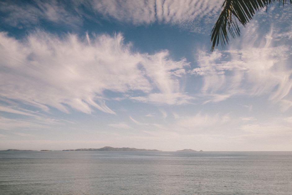
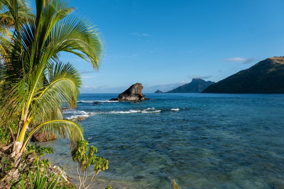
Behind the town, a steep trail climbs to the Nasova stream and up toward the crater rim of the extinct volcano that formed the island, past mango trees and the ruins of an old waterworks. We hired a local guide named Save who’d grown up on the trail and who stopped every few minutes to point out something we would otherwise have missed — a species of fern used for weaving mats, a patch of wild kava growing feral by the path, the exact spot where you can see both the town and, on a clear day, the silhouette of Gau Island out on the horizon. The climb took about two hours round trip and left us both drenched in sweat and slightly giddy on the view.
We stayed at a small guesthouse run by a Fijian-Indian family who fed us curry and rourou for less than we’d have paid for a mediocre sandwich in Nadi, and spent an evening on the veranda listening to a church choir rehearsing somewhere down the street, their harmonies drifting over rooftops in a way that made the whole town feel, for a moment, like it was humming to itself.
When to go: May through October for the driest, most comfortable hiking conditions on the crater trail. The ferry from Suva can be cancelled in rough seas during the wet season, so build in flexibility if visiting between November and April.
Keep exploring
More from Fiji
 fiji
fiji Pacific Harbour
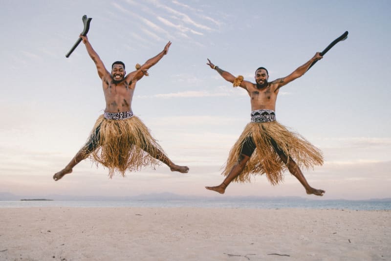
Fiji's self-styled adventure capital where you can white-water raft a volcanic gorge in the morning and sit in a village kava circle by nightfall.
Explore fiji
fiji Pacific Harbour Golf & Country Club
An unexpectedly good eighteen-hole course carved into Pacific Harbour's original 1970s resort plan, where mongooses cross the fairways and the ninth hole runs along the river.
Explore fiji
fiji Qamea Island
A quiet, jungle-covered island off Taveuni's east coast with a string of near-empty beaches and barely a road to speak of.
Explore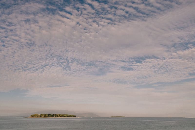 fiji
fiji Rabi Island
The island Fiji gave to the displaced Banaban people of Kiribati after phosphate mining destroyed their home — a place carrying one of the Pacific's least-known relocation stories.
Explore fiji
fiji Rakiraki
A sugarcane and fishing district on Viti Levu's northern tip, gateway to the outer islands and home to a chiefly burial site tangled in legend.
Explore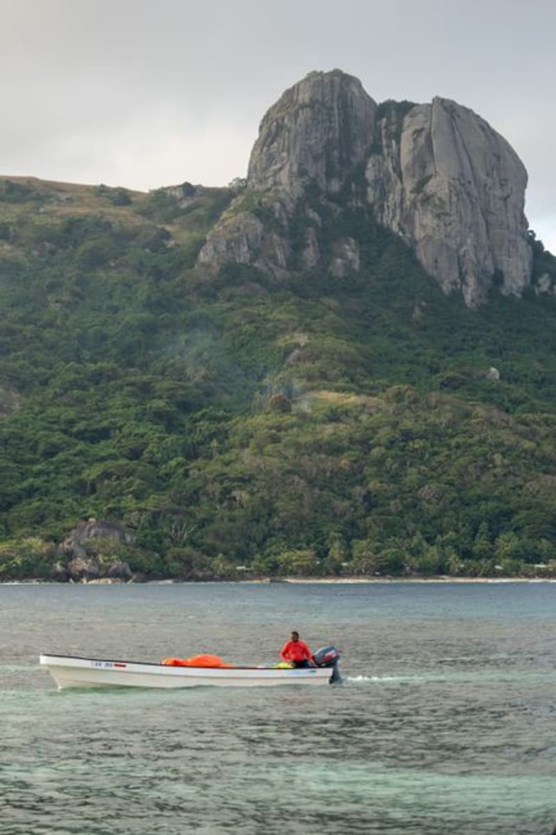 fiji
fiji Rewa Delta
A maze of mangrove channels and stilted villages at the mouth of Fiji's largest river, reached by longboat and best understood through the rhythm of tides rather than a map.
Explore