
Matagi Island
"It took me a full day to realise the island wasn't just curved — it's the rim of an extinct volcano, and we were floating in what used to be the crater."
A small volcanic crater island off Taveuni shaped almost perfectly like a horseshoe, with one bay, one resort, and water so calm it barely counts as ocean.
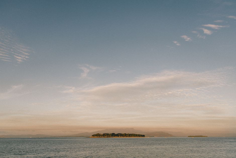
Matagi is one of only a handful of horseshoe-shaped islands in the world, the visible remnant of a volcanic crater whose seaward wall collapsed at some point in its geological history, leaving a near-perfect ring of land enclosing a calm, current-free bay. You notice the shape properly only from the air or from a boat approaching from a distance — up close, on the ground, it just feels like an unusually protected cove, water so still that the boat engine cutting out left a silence complete enough to hear individual fish breaking the surface across the bay.
We came over from Qamea for a day trip, arranged informally through our guesthouse host, who knew someone with a boat who knew someone at the small resort that occupies most of the island’s habitable land. The interior of Matagi rises steeply into dense coconut plantation and forest, and a short trail climbs to a lookout point that gives you the horseshoe shape properly for the first time — the curve of white sand tracing almost the entire visible shoreline, the bay a shade of turquoise distinctly paler than the deeper water beyond the reef opening.
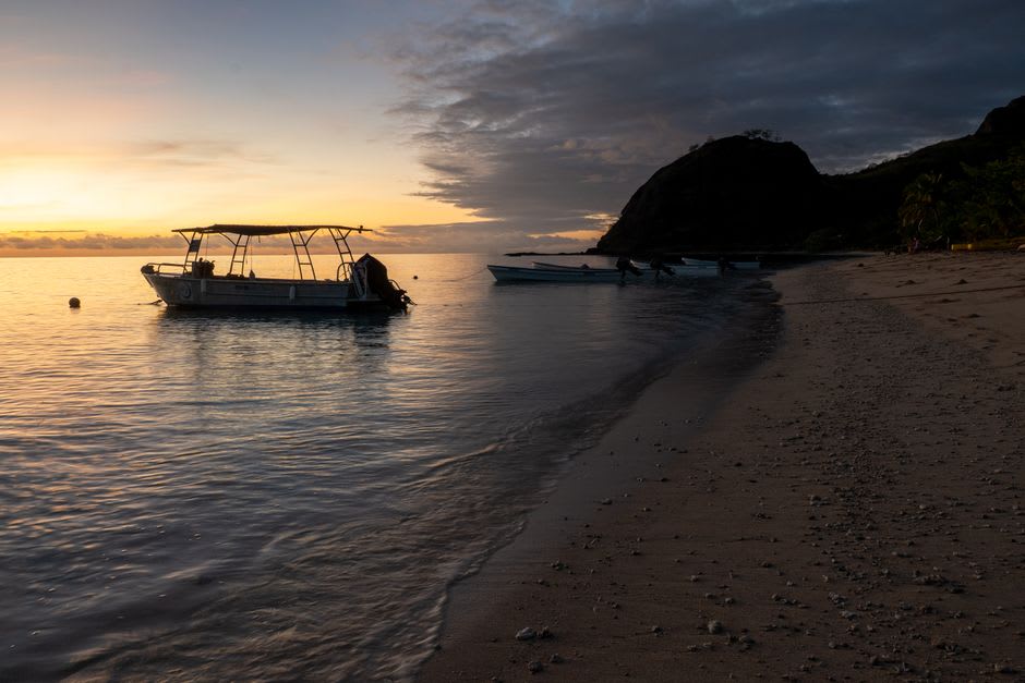
The snorkeling inside the bay is gentle rather than spectacular by Rainbow Reef standards, but that’s exactly what made it a good afternoon — no current to fight, coral bommies close enough to shore that we didn’t need a boat, and a resident population of clownfish and parrotfish undisturbed enough by traffic to go about their business at close range. We floated for close to two hours doing essentially nothing, which after several days of more ambitious diving elsewhere felt like exactly the right amount of effort.
A staff member from the resort, on a break, ended up telling us the geological backstory over lunch — the collapsed crater wall, the age of the volcanic rock, the fact that Matagi and its neighbour Qamea are essentially cousins formed by the same ancient eruption sequence. It’s the kind of fact that changes how a place looks the moment you learn it; I couldn’t stop tracing the crater rim with my eyes for the rest of the afternoon.
When to go: Day trips run best in the dry season, May through October, when the crossing from Qamea or Taveuni is calmest. The bay’s protected shape actually makes it swimmable in rougher weather too, if you can get there.