Poike Peninsula
"Poike felt like the island's memory of itself — the part that happened before anyone was watching."
The Poike Peninsula is the oldest part of Easter Island, formed by a separate volcanic eruption long before the rest of the island rose from the ocean. It occupies the eastern tip, cut off from the rest of Rapa Nui by a low ditch — the Poike Ditch, or Ko Te Ava o Iko — that runs almost the full width of the island and is the focus of the most violent episode in Rapanui oral history: a battle between the island’s two cultural groups, the Long-Ears and the Short-Ears, in which the Long-Ears were supposedly driven into a burning trench. Whether or not the legend is entirely historical, the ditch is real, and I walked along part of it on a cloudy afternoon feeling the specific unease of old conflict sites.
Getting to Poike requires either a guided tour or a serious commitment on a moped, because the roads deteriorate sharply once you leave the main circuit. I went with a guide — a Rapanui man named Marco who had grown up on the island and whose grandfather had been one of the workers on the early archaeological excavations. He drove a truck that had opinions about the roads and he talked about the landscape the way people talk about a place where their family has been for many generations: as if it owed him nothing and he owed it everything.
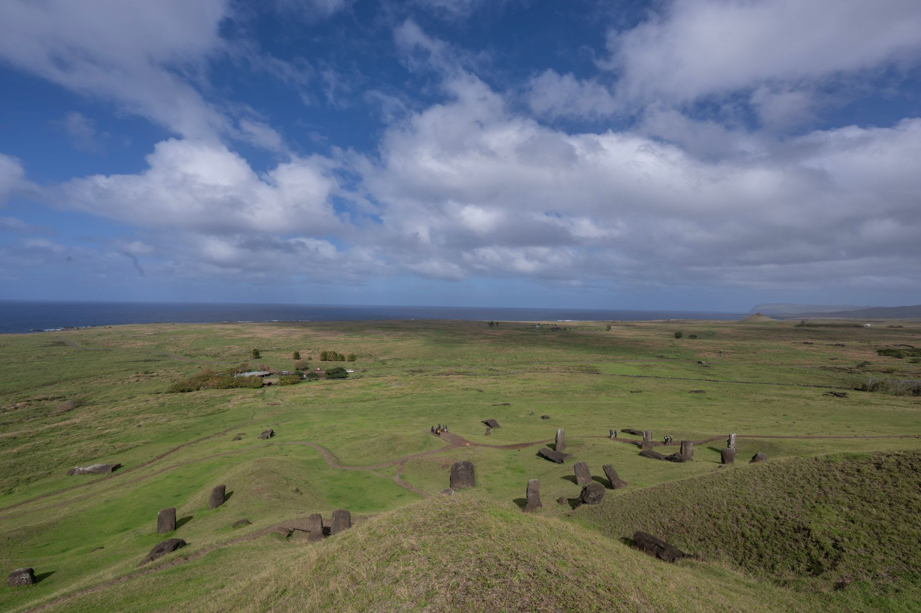
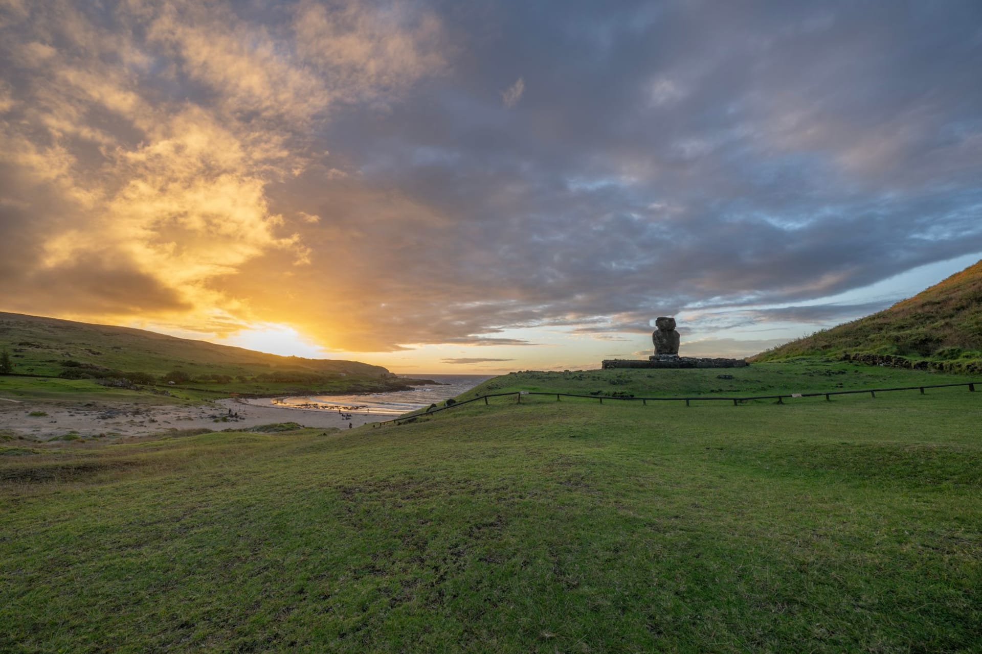
The highland plateau of Poike is dramatically different from the rest of Easter Island. The grass is shorter and more sparse, the soil a rust-red color from the iron-rich volcanic rock beneath it, and the whole peninsula feels elevated and exposed in a way that the western slopes don’t. We stopped at one of the three volcanos that form the peninsula — Maunga Pua Katiki, the highest point — and stood on the rim looking east. Nothing. Open Pacific. Chile is 3,700 kilometers in that direction and there is absolutely nothing between you and it. I’ve had that sensation elsewhere on Easter Island but never quite so purely as on that rim, with the peninsula falling away below me and the old ditch visible as a shadow in the grass.
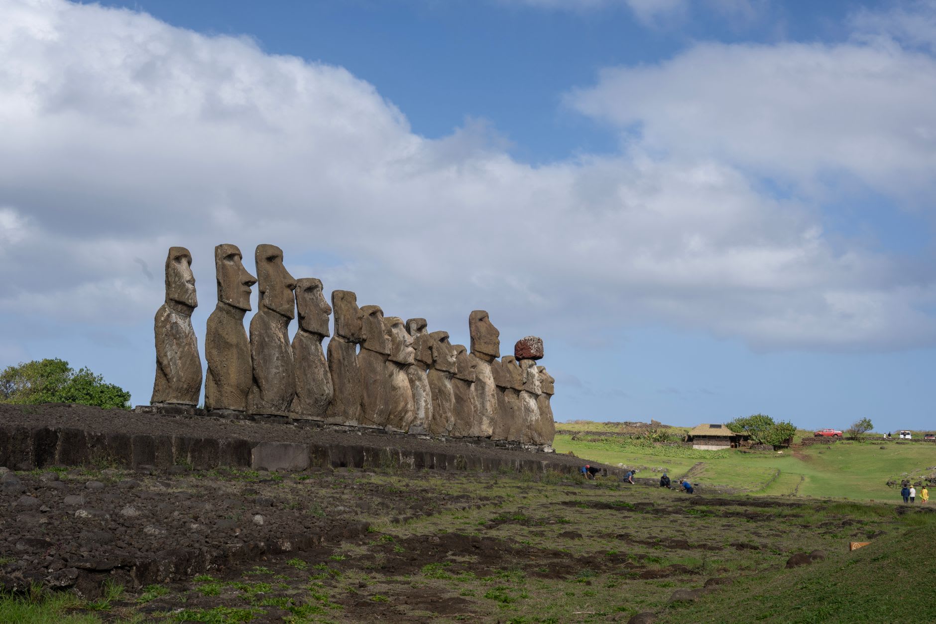
Poike also holds some of the island’s less-visited moai. There are platforms here that were never fully excavated and some that were toppled and left as found, the statues face-down in the grass, returning slowly to the earth. Marco showed me one — a large figure lying in the red soil, its carved face pressed against the ground, the back of its head smooth and pale and somehow vulnerable. We stood there for a moment without speaking. I appreciated that he didn’t feel the need to say anything.
The drive back skirted the south coast, where the cliffs are highest and the surf comes in hard against them. Marco stopped the truck at one point to let a group of horses cross the road — eight or nine of them, moving with the indifferent confidence of animals that have had the right of way for a long time. He said his grandfather used to say that when the island ran out of things, it still had the horses, and the horses were enough. I didn’t ask him to explain it. Some things are better left as statements.
When to go: Poike is best visited with a guide — the roads are rough, the sites are unmarked, and the context that a knowledgeable guide provides genuinely transforms the experience. Book through one of the licensed tour operators in Hanga Roa. Late morning through early afternoon gives the best light on the peninsula’s eastern highlands. The area is most rewarding in the quieter months (June through August) when the island’s few guide vehicles have more time and smaller groups.