Sani Pass
"Halfway up Sani Pass you stop being in South Africa. You stop being anywhere with a name."
The first switchback is fine. The second is alarming. By the fourth, with the valley floor receding to a green-and-brown patchwork nearly a thousand metres below and nothing between you and it but loose gravel and the edge of the road, I understood why this pass requires a 4x4. The driver — a local man from Himeville who has done this route probably a thousand times — drove with one hand and pointed out a site where a truck went over in 2019. He seemed to enjoy my expression.
Sani Pass is the only road crossing between KwaZulu-Natal and Lesotho through the southern Drakensberg, and it climbs two thousand eight hundred and seventy metres in nine kilometres from the South African lowveld to the Lesotho plateau. The gradient is extreme, the surface is gravel and broken rock, and the views down the escarpment are the kind that recalibrate your sense of scale permanently. On the South African side the vegetation shifts through grassland, protea scrub, and moss-hung cliff faces dripping with seeps. At the summit, Lesotho begins — high moorland, basalt plateau, the wind unobstructed from all directions, and the Sani Mountain Lodge with what it claims, accurately, to be the highest pub in Africa.

The pub at the summit lodge does a lamb pie that I ate too fast in a room full of Basotho men on horses, Johannesburg weekenders with expensive hiking boots, and two Belgian cyclists who had ridden up from the border post and looked like they needed medical attention. The fire was burning pine logs and the windows were frosted, and outside the light was the particular thin light of three thousand metres that makes everything look slightly more real than usual — sharper, high-contrast, with shadows that are actual blue.
Going down into Lesotho — even briefly, even just to the first village below the lodge — is its own experience. Horsemen in brightly coloured blankets move along ridge paths that have existed for centuries. Rondavels sit at improbable angles on hillsides that grow nothing but rock and thin grass. Children run alongside vehicles with the easy coordination of people who have always lived at altitude. The political border is completely invisible in the landscape; only the passport stamp and the change in telephone signal mark the crossing.
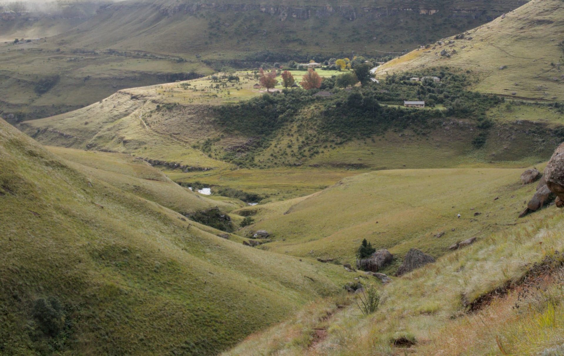
Many visitors do Sani Pass as a day trip from Underberg or Himeville — drive up, drink at the pub, drive down — and miss what the southern Berg offers around the base. The Sani valley itself, on the South African side, is green and trout-stocked, with the Mkomazana River running fast and clear through farms and kikuyu grassland. The village of Himeville is a single main street of corrugated-iron-roofed buildings with a small museum and the kind of general store that still sells everything from baling wire to dried beans.

For hikers, the Sani trail continues past the summit into Lesotho along the escarpment rim — one of the high-altitude routes through the Drakensberg alpine zone that can extend into multi-day traverses with hut-to-hut sleeping through the national parks on both sides of the border.
When to go: April to September for the clearest views and driest road surface. Snow closes the pass periodically in June and July — check conditions locally before attempting the ascent. Summer brings afternoon cloud that closes in fast. The pass is technically open year-round but winter midweek gives you the best chance of solitude at the summit.