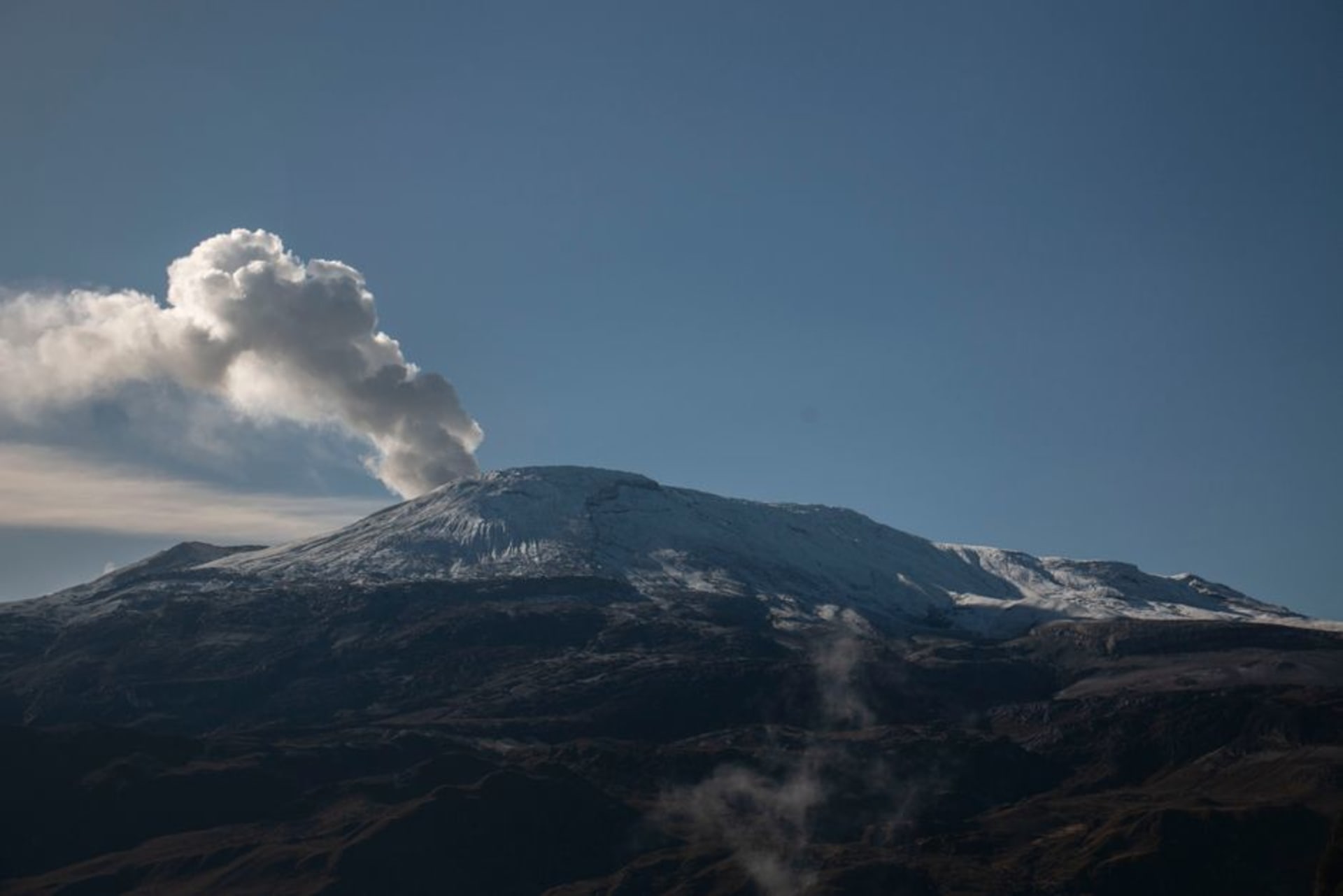
Los Nevados National Natural Park
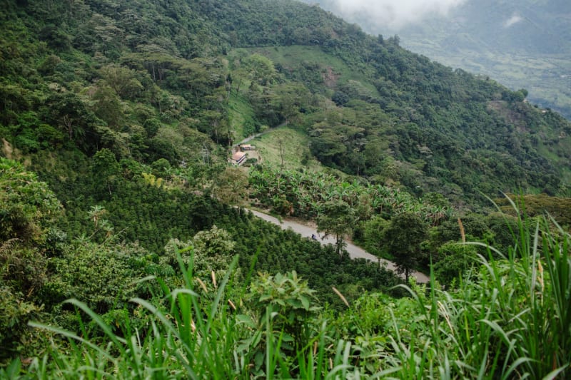
"Up here the coffee hills just stop, and the mountain takes over."
Volcanic peaks and eerie páramo highlands above the coffee farms, where Nevado del Ruiz still hums with quiet menace.
We drove up from Manizales before dawn, the kind of cold that surprised both of us after weeks of sweating through coffee farms at lower altitude. Lia had packed gloves she’d bought on a whim in a Salento market stall, and I remember laughing at her for it the night before, then borrowing them within the first hour. The road climbs out of the cloud forest and into something else entirely — the trees thin out, the air gets thin too, and suddenly you’re walking among frailejones, those strange velvety-leafed plants that only grow in this stretch of the Andes and nowhere else on Earth. They stood there in the fog like a crowd of silent, patient figures, and it was the first time in Colombia I felt genuinely far from anywhere.
Nevado del Ruiz dominates the whole park at 5,321 meters, and even from a distance it has a presence that’s hard to describe until you’re standing under it. Our guide, a quiet man from a village near Armero, pointed out where the lahar had come down in 1985 — a wall of volcanic mud and melted ice that buried the town below and killed an estimated 25,000 people while most of the country slept. He didn’t dramatize it. He just said the name of the town and let the silence do the rest. I’d read about it before the trip, but standing on the same slope where it started changes how you carry that story.
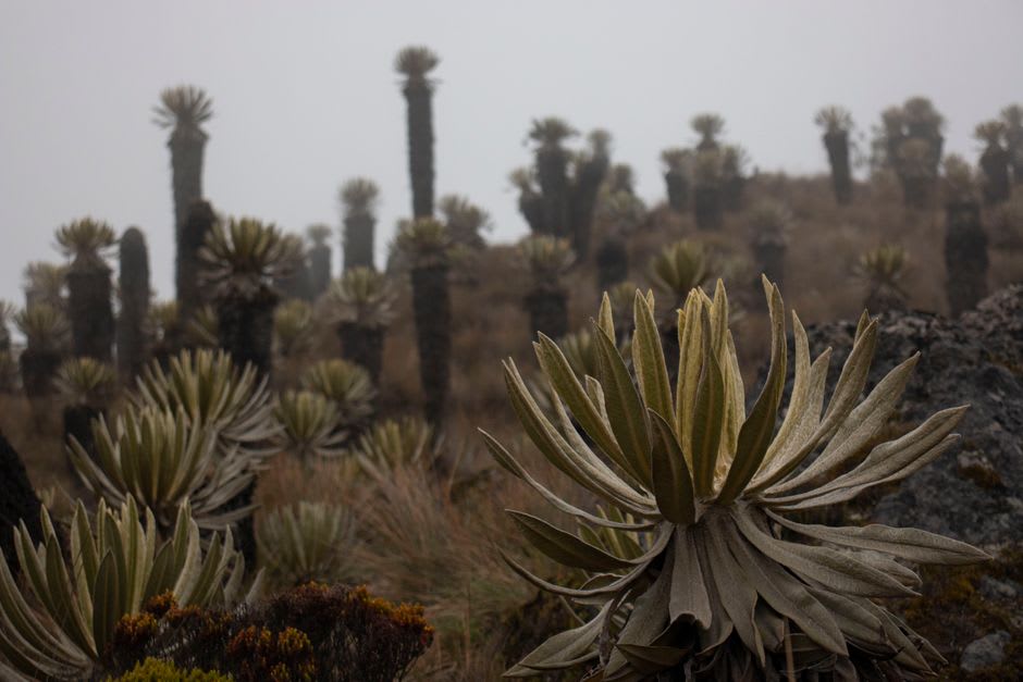
Further along the ridge, Nevado del Tolima and Nevado de Santa Isabel came in and out of view depending on how the clouds moved, and our guide mentioned almost in passing how much smaller Ruiz’s ice cap has become since he was a kid — the glacier retreat here is closely tracked, and you can see it in old photos pinned up at the ranger station, the white cap visibly shrinking decade by decade. It’s strange to stand in a landscape that’s part volcano, part fragile ice, part high-altitude wetland, all within a single afternoon’s walk, and to know it also happens to sit in the buffer zone of the same UNESCO coffee landscape where we’d been drinking incredible coffee just two days earlier.
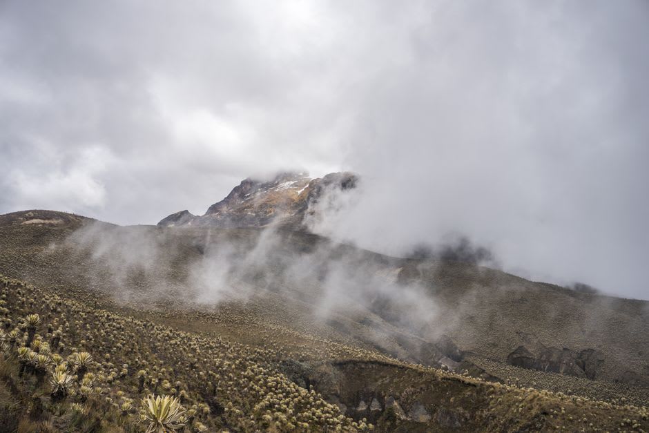
By the time we came back down, Lia’s borrowed gloves were soaked through and my legs were done, but neither of us wanted to leave. There’s something about that transition — coffee country to volcanic páramo in under two hours — that stuck with me more than almost anything else in the region.
When to go: We went in July, right in the middle of one of the drier windows, and were grateful for it — between December and February or July and August you get clearer visibility at altitude and steadier footing on the trails, which matters more than it sounds like it should up there.
Keep exploring
More from Colombian Coffee Region
 coffee-region-colombia
 Manizales
The Eje Cafetero's most vertical city — a university town draped over Andean ridges, with a cable car that crosses above the fog.
Explore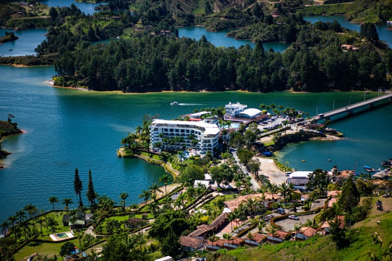 coffee-region-colombia
 Pereira
Risaralda's no-nonsense capital — a live music city where the salsa is serious, the street food runs late, and nobody is performing for visitors.
Explore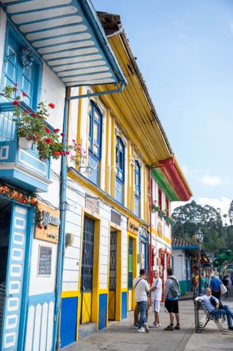 coffee-region-colombia
 Pijao
A pastel-painted coffee town in Quindío where Colombia's first Cittaslow certification made unhurried living into a way of life.
Explore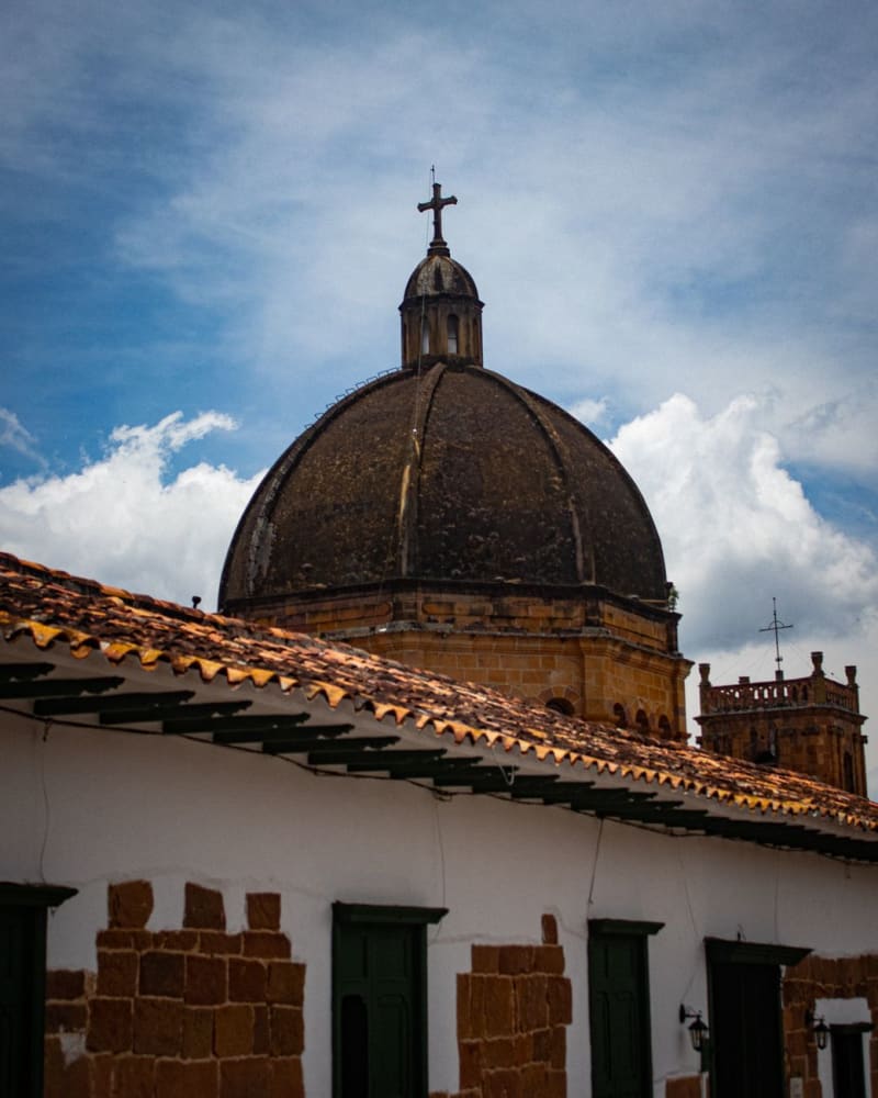 coffee-region-colombia
 Salamina
A hushed heritage town of carved doorways and painted balconies high in Caldas, with its own quieter valley of giant wax palms and almost no tourists.
Explore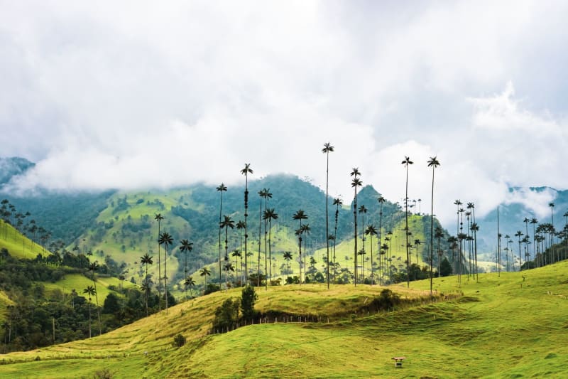 coffee-region-colombia
 Salento
The Eje Cafetero's most lovable town — painted balconies, trout from mountain rivers, and a main square that earns every photograph.
Explore coffee-region-colombia
 Santa Rosa de Cabal
A Risaralda town famous for its thermal baths hidden in a canyon — concrete pools, waterfalls, and grilled corn vendors on a Tuesday morning.
Explore