Carretera Austral
"The Carretera Austral ends because it has to — not because the wilderness does."
Chile's great southern road winds through fjords, hanging glaciers, and virgin temperate rainforest for 1,240 km.
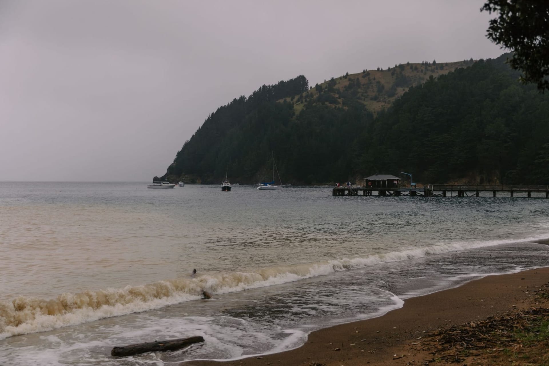
There is a moment, somewhere south of Puerto Montt and north of the end of the paved world, when the road turns to gravel and does not turn back. The Carretera Austral — Route 7 on the maps, something closer to a proposition in practice — runs 1,240 kilometres through the wettest, most forgotten quarter of Chile. I drove it with Lia over three weeks in a rented pickup that shuddered on the washboard sections and smelled perpetually of river mud and woodsmoke from the hostales where we stopped.
The Road Itself
The highway was carved through the Aysén region by Pinochet-era conscripts in the 1970s and 80s, blasted into basalt cliffs above fjords, laid across land that had no land routes before and barely does now. Some sections still require ferry crossings — the Caleta Gonzalo to Hornopirén route, where the boat threads through channels so narrow you can see the lichen on the rock faces on both sides. The trees are the lenga beeches and coigüe that make up the Valdivian temperate rainforest, one of the rarest forest types on earth, hanging with old man’s beard lichen in the wet air. The smell is deep and green and faintly mineral, like stepping into a cold cellar packed with moss.
Queulat and the Hanging Glacier
The genuine shock of the Carretera Austral, the thing I did not expect, came at Parque Nacional Queulat, about 170 kilometres south of Chaitén. I had read about the Ventisquero Colgante — the hanging glacier — but reading does not prepare you for the sight of a river of blue ice suspended impossibly between two cliff faces, calving meltwater that falls in white threads to a lagoon below. We reached it on a grey morning, the cloud sitting low, and then the cloud shifted and the glacier lit up in flat Antarctic light. We stood there for a long time without saying anything. The lagoon’s surface was the colour of pewter and completely still.
Further south, at Villa Cerro Castillo, the road passes under the jagged peaks of the Cerro Castillo massif — four black horns of basalt that look more like something from a fantasy illustration than a real landscape. The village at its foot sells good empanadas de queso and very cold Austral beer.
The Southern End
The road effectively terminates at Villa O’Higgins, past Cochrane and the Lago Bertrand. The last stretch is the roughest, the most beautiful, and the most genuinely remote — mobile signal disappears for long stretches, the settlements are hours apart, and the Río Baker runs alongside in a milky turquoise that comes from glacial flour suspended in the water. At O’Higgins there is a border crossing for the truly committed, a multi-day trek and boat route into Argentina’s El Chaltén. We did not take it. We sat instead at a wooden table in the village’s one restaurant, eating curanto — a stew of clams, smoked sausage, chicken, and potato cooked together until the broth tastes like the sea — and watched the evening light go pink on the mountains.
When to go: November through March is the Patagonian summer — longer days, passable roads, and the best visibility on the passes. December and January bring the most reliable weather but also the most travellers. September and October see the wildflowers before the crowds arrive; April offers autumn colour in the beeches and dramatic skies, though some border facilities and hostales begin to close.