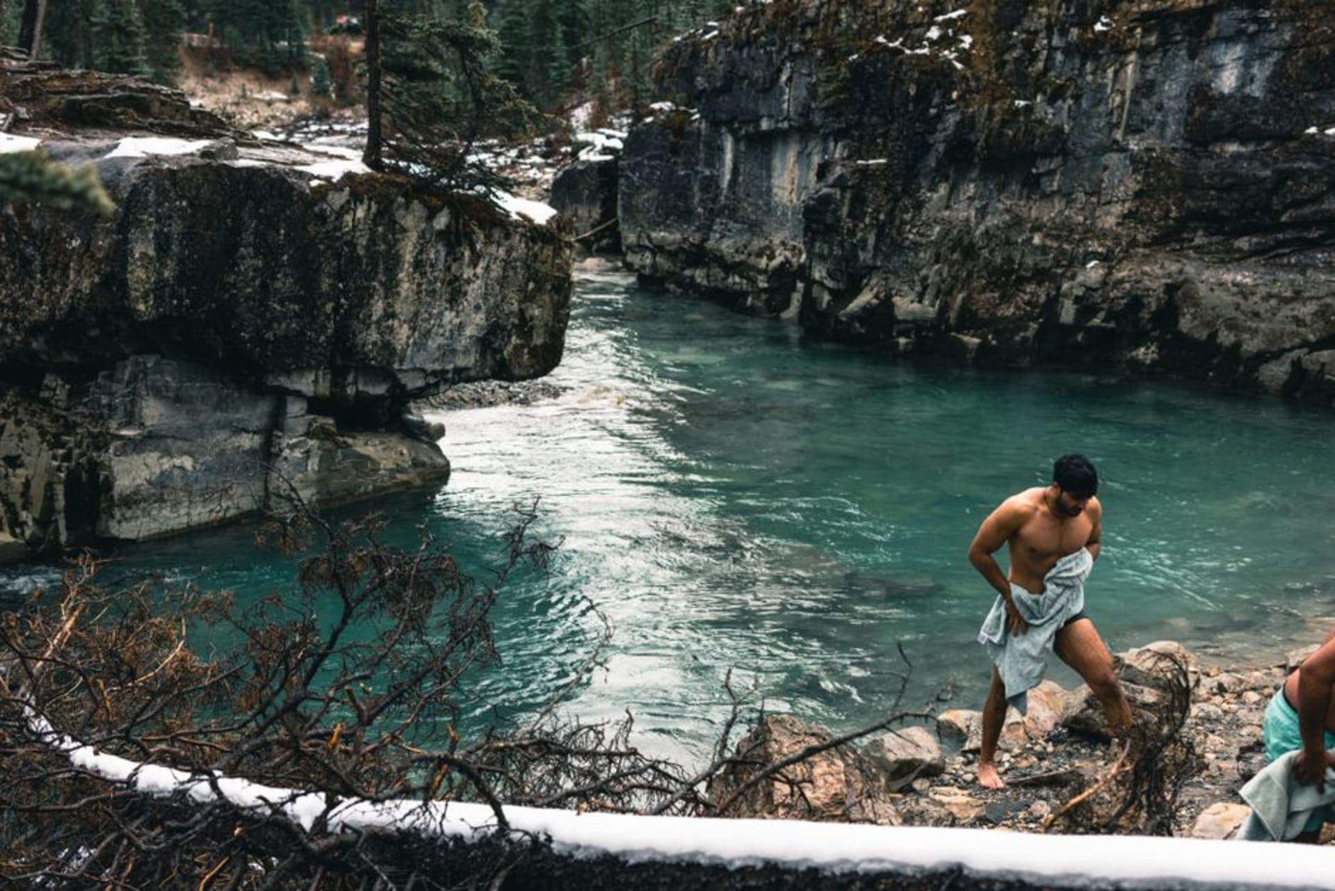
Kootenay National Park
"Everyone drives the Icefields Parkway. Almost nobody drives Kootenay, and that's precisely the point."
The Rockies' quieter park, threaded by a single highway past ochre paint pots sacred to Indigenous peoples and a canyon carved improbably narrow through solid marble.
Kootenay National Park runs along a single highway — Highway 93, the Banff-Windermere Parkway — for about a hundred kilometres between Radium Hot Springs and the Trans-Canada near Banff, and I drove the entire length of it in an afternoon without seeing more than a handful of other cars pulled over at any given stop. This is the park everyone skips in favour of its more famous neighbours, and having now driven both this and the Icefields Parkway, I think that’s a genuine mistake dressed up as a scheduling decision. Kootenay has less obvious grandeur than the Icefields corridor, but what it has instead is variety packed into a much shorter drive — desert-dry valley floor at one end, deep marble gorge in the middle, and burned, regenerating forest reminding you the whole time that this landscape is not static.
A Canyon Cut Through Rock, Not Around It
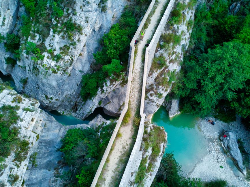
Marble Canyon is the park’s signature stop, and it earns that status honestly. Tumbling Creek has carved a gorge here that’s absurdly narrow — in places barely a few metres across — and improbably deep, cutting through banded limestone (marbled by ancient heat and pressure, hence the name) that the water has worn smooth over millennia. A short trail crosses back and forth over the gorge on a series of footbridges, each one bringing you closer to the roar until, at the final bridge, you’re standing almost directly above a waterfall dropping into a slot so tight it disappears from view entirely. I stood there longer than the trail really requires, just watching the turquoise meltwater vanish into rock.
The Paint Pots
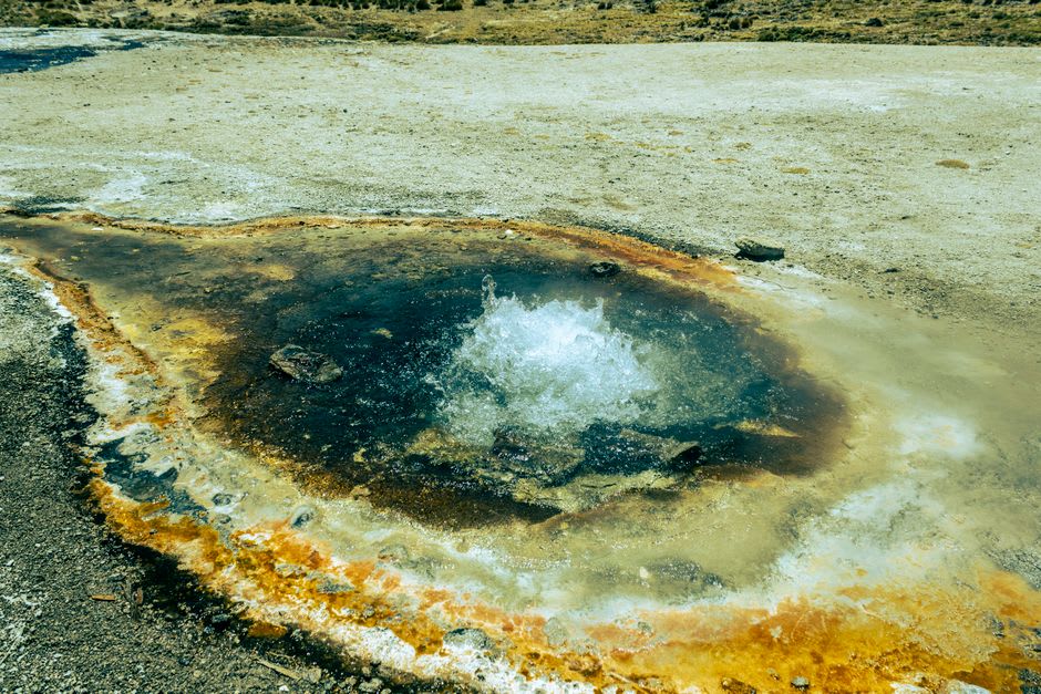
Further along, a short flat walk leads to the Paint Pots — a set of cold mineral springs where iron oxide stains the ground and shallow pools a vivid rust-orange, almost unnervingly bright against the surrounding forest green. This site was, and remains, sacred to the Ktunaxa and Stoney Nakoda peoples, who traveled here to gather the ochre for ceremonial paint and trade, a practice that long predates the park boundary drawn around it. Interpretive signage is careful and specific about this, and standing at the edge of the pools — the ground faintly trembling underfoot from the springs beneath — it was easy to understand why this particular patch of earth was considered worth a long journey.
The southern stretch of the park, closer to Radium, still bears the scars of a major 2003 wildfire — standing grey deadwood among a thick understory of new lodgepole pine, a landscape actively rebuilding itself rather than a static postcard, which felt like an honest thing for a park to show visitors rather than hide.
When to go: June through September for full access to the Paint Pots and Marble Canyon trails. The highway stays open through winter as a through-route to Radium’s hot springs, when the canyon ice formations become their own quieter attraction.