Iqaluit
"The bay went from open water to bare mudflats in about six hours, and nobody around me thought that was worth mentioning."
Nunavut's small, colourful capital on Frobisher Bay, run by an Inuit-majority government, where tundra meets some of the most extreme tides on the planet.
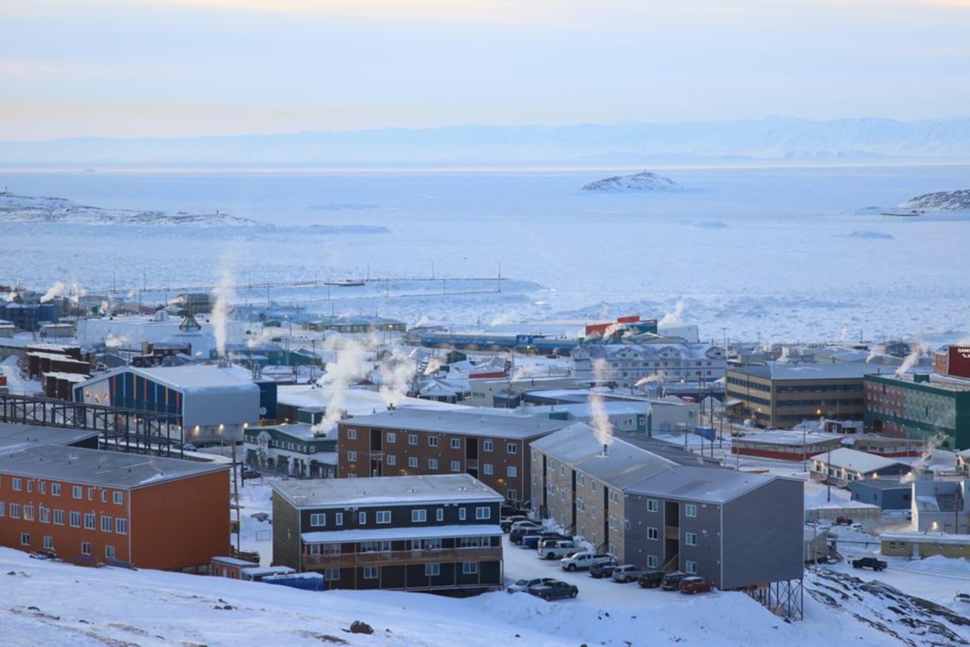
Iqaluit looks nothing like any other capital city I’ve been to, and it isn’t trying to. There’s no downtown skyline, no grid of avenues — just a scatter of brightly coloured, boxy houses on pilings (the permafrost won’t tolerate a normal foundation) spread across low tundra hills above Frobisher Bay, connected by roads that all eventually run out into gravel and then nothing. I flew in from Ottawa, three and a half hours over increasingly bare land until the trees simply stopped and didn’t come back, and landed at an airport whose terminal, painted a defiant shade of yellow-orange against all that grey, has become something of an unofficial symbol of the city.
A Government Built on Inuit Terms
Iqaluit is the capital of Nunavut, the territory created in 1999 through the largest Indigenous land claim settlement in Canadian history, and it functions unlike anywhere else in the country — Inuktitut is an official working language alongside English and French, the legislature operates in a circular chamber designed to reflect consensus-based Inuit governance rather than adversarial parliamentary rows, and the population is overwhelmingly Inuit, a majority-Indigenous capital city that exists nowhere else in Canada. I sat in on a public session at the Legislative Assembly, and the simultaneous interpretation between Inuktitut and English gave the whole room a rhythm unlike any other government building I’ve visited — pauses that felt deliberate rather than awkward.
Tides That Rewrite the Bay Twice a Day
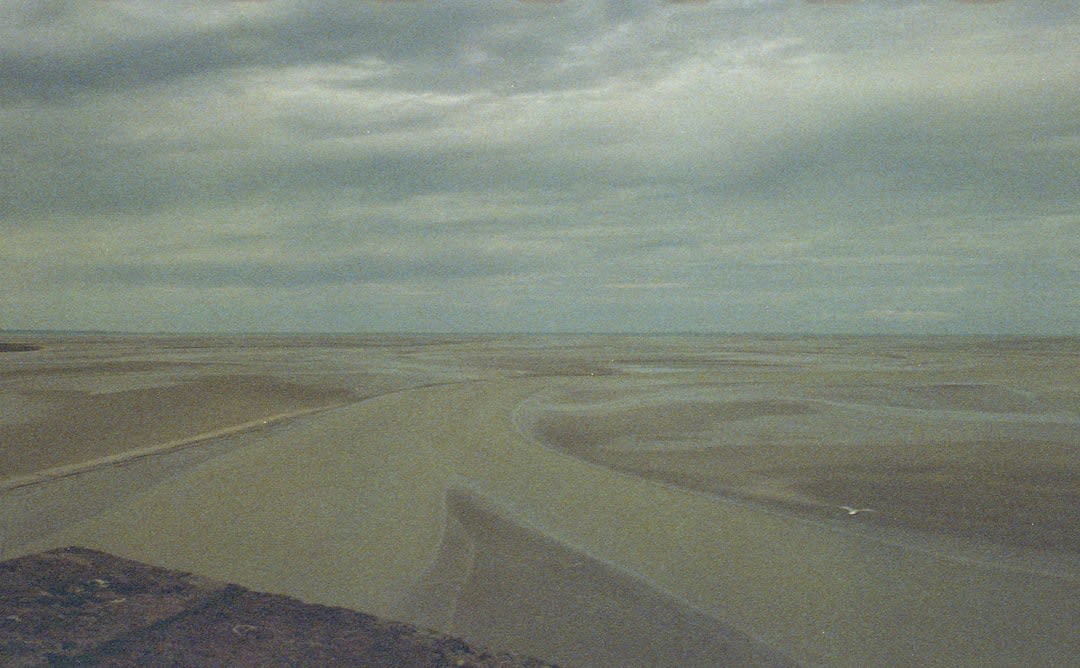
What genuinely startled me was the tide. Frobisher Bay has some of the most extreme tidal ranges in the world, regularly over ten meters, and it means the waterfront simply transforms across a single afternoon — boats that were floating at breakfast are sitting on exposed mud by lunch, and the mudflats stretch out so far you can walk what looks like a kilometer onto ground that was seabed a few hours earlier. Locals dig for clams out there at low tide, working fast against a clock everyone respects instinctively, since the water returns without warning anyone twice. I tried it with a woman named Sarah who’d done it since childhood, and she filled a bucket in the time it took me to find one clam.
Sylvia Grinnell Territorial Park, a short walk from downtown along the Sylvia Grinnell River, is where I spent my last afternoon, watching the river tumble over rock toward the bay and a family fishing for Arctic char with the kind of unhurried competence that comes from doing it your whole life. It’s an easy, almost domestic landscape for a place this remote — proof that Iqaluit, for all its extremity, is still fundamentally somebody’s hometown.
When to go: July and August for the most accessible tundra hiking and midnight-adjacent light; visit around the tide tables if you want to see the mudflats at their most dramatic, which locals will happily help you time.