Mount Cameroon
"From the crater rim at first light I could see the ocean. My legs had not forgiven me yet, but my eyes were grateful."
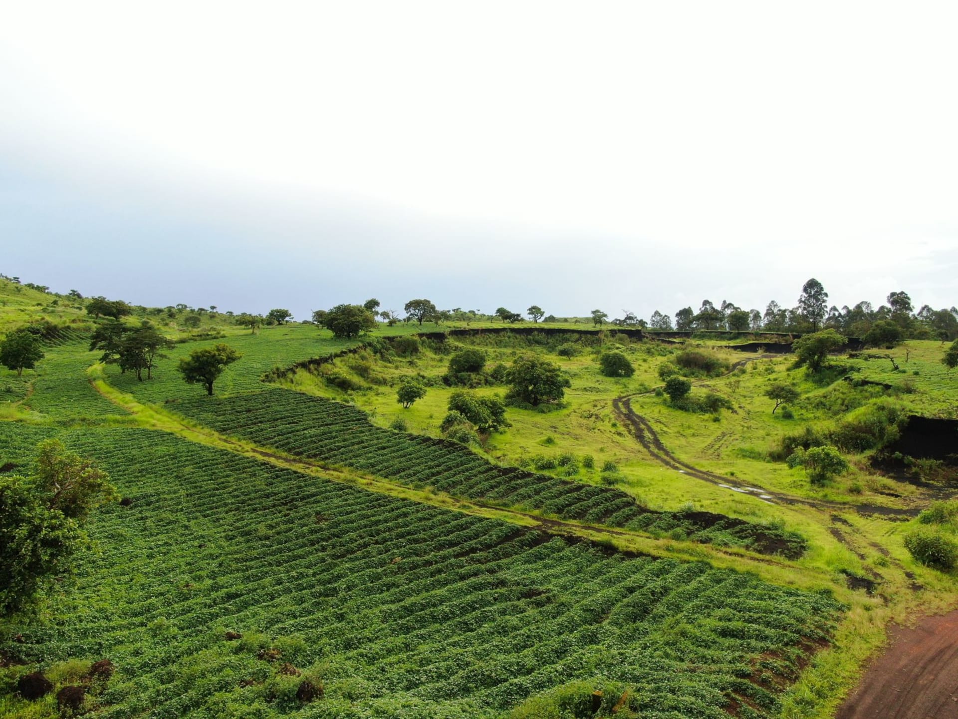
The ascent of Mount Cameroon begins in Buea, a small town that sits at about 900 meters in the volcanic foothills and was once the German colonial capital of Kamerun. The day I started the climb, the mountain was entirely hidden in cloud — I could feel it above me more than I could see it, an enormous weight of geology pressing down through the mist. My guide, a man named Lawrence who had made the climb more than two hundred times and wore ordinary trainers while I had carefully researched hiking boots, set a pace I struggled to match through the first hours of montane rainforest. The trees there are dense and tall, draped in moss, and the path is sometimes more mud than path, cut into the volcanic soil in deep channels by years of rainfall and boot traffic.

The forest gives out around 2,000 meters, replaced first by heath and then by something stranger — a zone of giant groundsels and lobelias, the same bizarre high-altitude flora you find on Kilimanjaro, plants that seem designed by someone who had only read descriptions of plants rather than seen them. The wind picks up at this altitude and the temperature drops fast. I stopped at Hut One, where Lawrence had a fire going within minutes and produced a thermos of sweet tea from his pack while I tried to remember why I had thought this was a good idea. The answer came at 3,000 meters, when we climbed through the cloud base into a corridor of clear air and I turned to find the Atlantic Ocean glittering below, the coast of the Gulf of Guinea stretching to the horizon, Limbe a small arrangement of streets and harbour far beneath us.
The summit area is volcanic and bare: black lava flows from recent eruptions — the last significant one was in 2000 — have left swaths of dark rock cutting through the older vegetation, and the crater itself is a surreal combination of sharp-edged lava and patches of yellowed grass. I reached the rim at first light on the second day after camping at Hut Two, and the view in every direction — ocean to the southwest, the highlands and valleys of Cameroon rolling to the east and north, the Congo Basin forest as a dark line in the distance — was the kind of thing that makes you feel both very small and very awake simultaneously. Lawrence told me the mountain is considered sacred by the Bakweri people, who call it Mongo ma Ndemi, and that the local custom before ascending is to make an offering at a specific rock near Buea. He had done it for me when I wasn’t looking.

Buea itself, where you begin and end the climb, is worth a day of its own — a small town with a government reservation feel, wide streets, the ruins of a German governor’s residence, and a market where the highland produce — avocados, tomatoes, spring onions — is the freshest I found anywhere in Cameroon. The descent from the summit to Buea in a single day is possible but punishing. My legs complained for the better part of a week.
When to go: November through February is the primary dry season and the safest window for climbing. The upper mountain can be clouded and rainy at any time of year, but conditions are most reliable in the dry months. The famous annual Race of Hope — a grueling competition where athletes run to the summit and back — takes place in February. Attempting the summit without a registered guide from the Mount Cameroon Ecotourism Organisation is not advisable; the trail is not always obvious and the volcanic terrain above the cloud line can disorient.