Africa
Cameroon
"Africa in miniature — and the miniature is larger than most full-size countries."
I flew into Douala on a morning when the harmattan was blurring the air brown and the city came into view as a smear of rust-colored rooftops above the Wouri estuary. The taxi driver spoke to me in French, then Cameroonian pidgin, then switched to Fulfulde when he realized I was trying to follow. Cameroon does that — it keeps shifting registers before you can settle into any one version of it. Eight languages official, 280 ethnic groups, and a colonial history split between France and Britain that you can still read in the road signs as you cross certain regional borders.
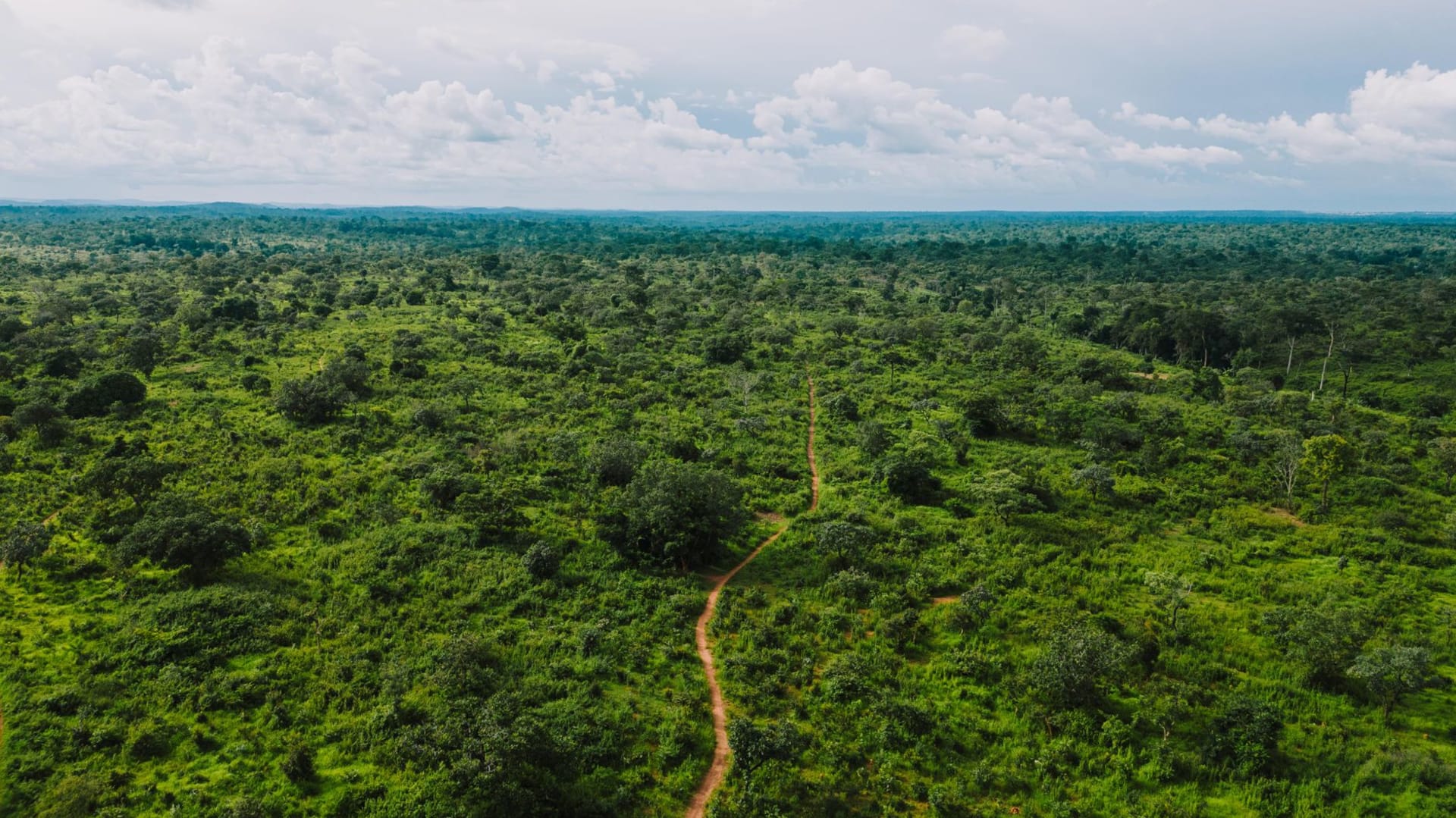
Douala is not beautiful in any conventional sense but it moves with the particular energy of a city that runs on hustle rather than oil rents. I spent two days eating in the neighbourhood markets — poisson braisé pulled straight off the grill and wrapped in banana leaf, ndolé made with bitter leaf and peanuts in a sauce so layered it took me three bites to understand what was happening. Then I took the train west toward Yaoundé, a journey on aging infrastructure that the other passengers seemed to find perfectly ordinary and that I found quietly spectacular — forest pressing in on both sides of the track, occasional clearings with small farms lit up in afternoon light.
The country’s real drama is in the highlands. The ring road through the Northwest and West regions loops through Bamiléké country, where the hills are terraced and the traditional compound architecture — tiered, thatched, ceremonially complex — is still in active use, not preserved as a museum piece. The chiefs’ palaces in Foumban and Bafoussam carry a political gravity that the tourism pamphlets completely fail to convey. And Mount Cameroon, at 4,095 meters, is one of the only places on earth where you can hike from tropical beach to alpine tundra in a single day, with the Atlantic visible from the summit on a clear morning. I did it in two days and my legs complained for a week. I’d go back for the view from the crater rim at first light.
When to go: November through February is the dry season in the south and highlands — the most practical window for trekking Mount Cameroon and driving the ring road before rains turn laterite tracks to mud. The north (Waza National Park, the Sahel zone) is best visited December through March before extreme heat sets in. Avoid May through September in the coastal south, when rainfall can be genuinely relentless.
What most guides get wrong: They call Cameroon “Africa in miniature” and leave it there, as if the phrase explains something. What it actually means is that Cameroon is too complex and too geographically varied to reduce to a single travel narrative — which is exactly why it’s been undervisited. Most visitors who come want the national parks (Waza for elephants, Lobeke for forest elephants and gorillas) and miss everything in between: the Bamiléké highlands, the coast around Kribi where waterfalls fall directly into the sea, the Muslim north with its lamidos and adobe mosques. The country requires time and flexibility, and most itineraries built around it don’t allow for either.