Punta Gorda
"Everything in the far south takes longer and costs less and smells like rain."
The End of the Road
You reach Punta Gorda — PG, to everyone who lives there — by bus from Belize City along the Hummingbird and Southern Highways, a journey that is either five hours of green hills and jungle scenery or five hours of numb sitting, depending on your disposition. The town sits at the southernmost end of the country, on the Gulf of Honduras, backed by the Maya Mountains. The humidity is absolute. It rains here more than anywhere else in Belize, and the vegetation shows it — thick and dark and insistent.
PG is not a glamorous destination. It is a market town with one main street, a small port, and a grid of wooden houses that have seen better decades. But it is the gateway to the Toledo district, which is where things get interesting, and it has a lived-in weight that the more tourist-ready parts of Belize sometimes lack. People here are doing things. They are going to market, unloading boats, driving into the hills with supplies. You feel like a visitor in the functional sense, which I find preferable to feeling like a customer.
Into the Maya Villages
The villages of Toledo district — San Antonio, San Pedro Columbia, Blue Creek — are a thirty to sixty-minute drive from PG on roads that worsen after rain, which is often. These are Q’eqchi’ and Mopan Maya communities, living close to the agriculture that has shaped this landscape for centuries. Some villages have guesthouse networks through the Toledo Ecotourism Association, which means you can sleep in a village home, eat with the family, and walk to the milpa fields at dawn without it feeling staged.
I spent a morning with a man named Esteban who grew cacao on a small farm outside San Pedro Columbia. He walked me through the fermentation shed — the smell is something between vinegar and fruit, oddly compelling — and explained that the fine-flavor cacao from this region goes primarily to export, to craft chocolate makers in Europe and the United States. He said this with a mixture of pride and pragmatism that seemed accurate to the situation.
Caves and Jungle
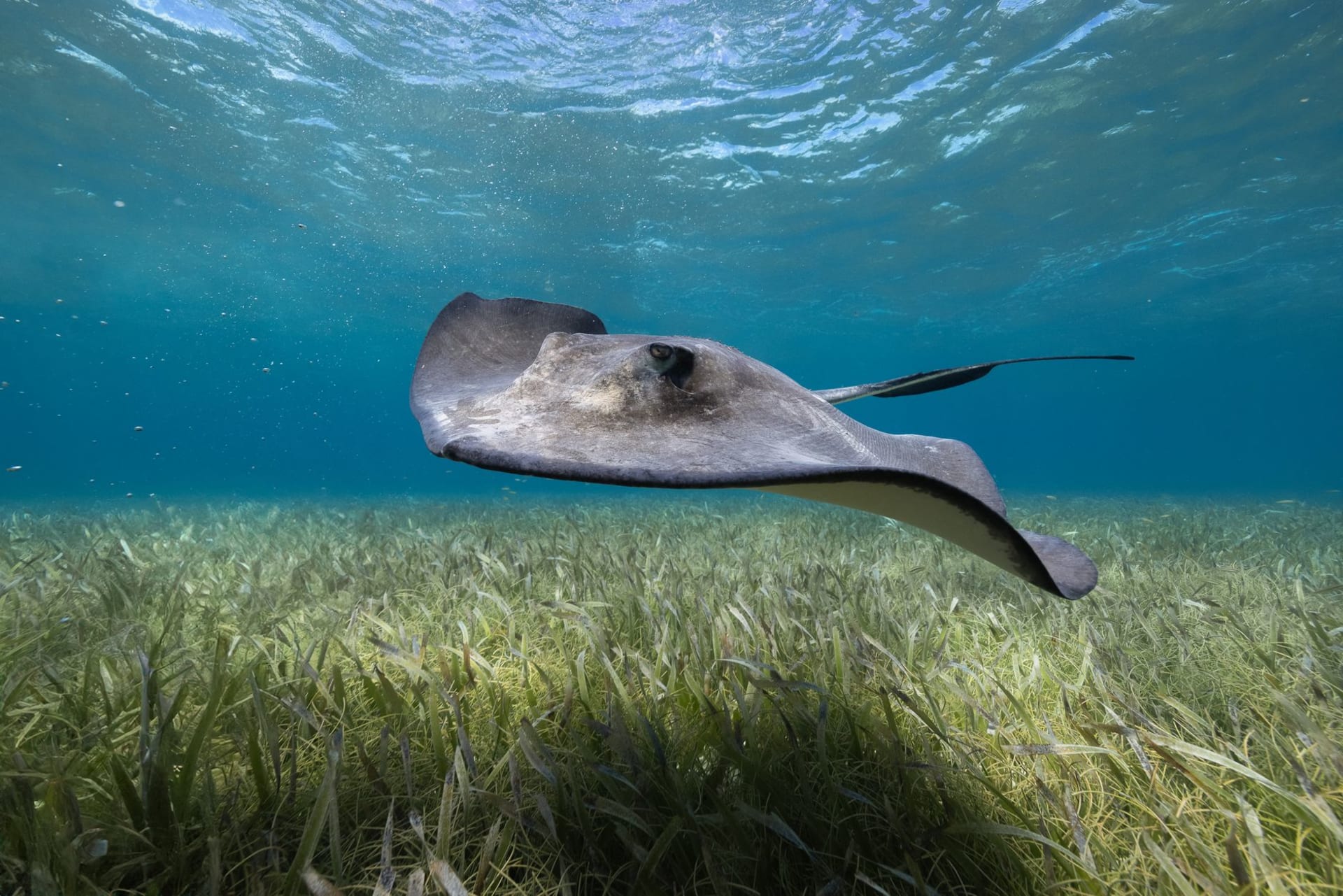
The Actun Tunichil Muknal cave — ATM — is usually accessed from San Ignacio to the north, but Toledo has its own cave systems worth the effort. The Rio Frio cave near Mountain Pine Ridge is more accessible, and the river systems throughout Toledo are navigable by kayak through jungle so dense that the canopy closes overhead and the light goes green and cathedral.
The Lubaantun and Nim Li Punit Maya sites are within day-trip distance of PG. Lubaantun is famous partly because of the Crystal Skull hoax — a quartz skull supposedly discovered here in the 1920s that was later demonstrated to be a modern fabrication. The ruins themselves are remarkable enough without the legend: massive stone platforms built without mortar, held by their own weight alone, in the middle of the jungle.
The Port and the Ferry
From PG you can take the water taxi to Puerto Barrios in Guatemala or to Livingston, the Garifuna coastal town accessible only by sea. The crossing to Puerto Barrios takes about two hours on a boat that fills with traders carrying goods across the border. The Gulf of Honduras is wide and grey-green and the far shore takes a long time to materialize. It is one of those borderline crossings — literally and figuratively — that reminds you how permeable Central America actually is.
When to go: The dry season (February through April) makes village roads passable and jungle trails navigable without becoming a mudslide. However, Toledo’s extra rainfall means even “dry season” involves intermittent showers. The cacao harvest runs roughly October through December if you want to visit farms during production. Avoid June through October for serious travel; the roads can become impassable.