Grand Bahama
"Freeport is a resort city pretending to be a town. Lucayan National Park is the island being honest with itself."
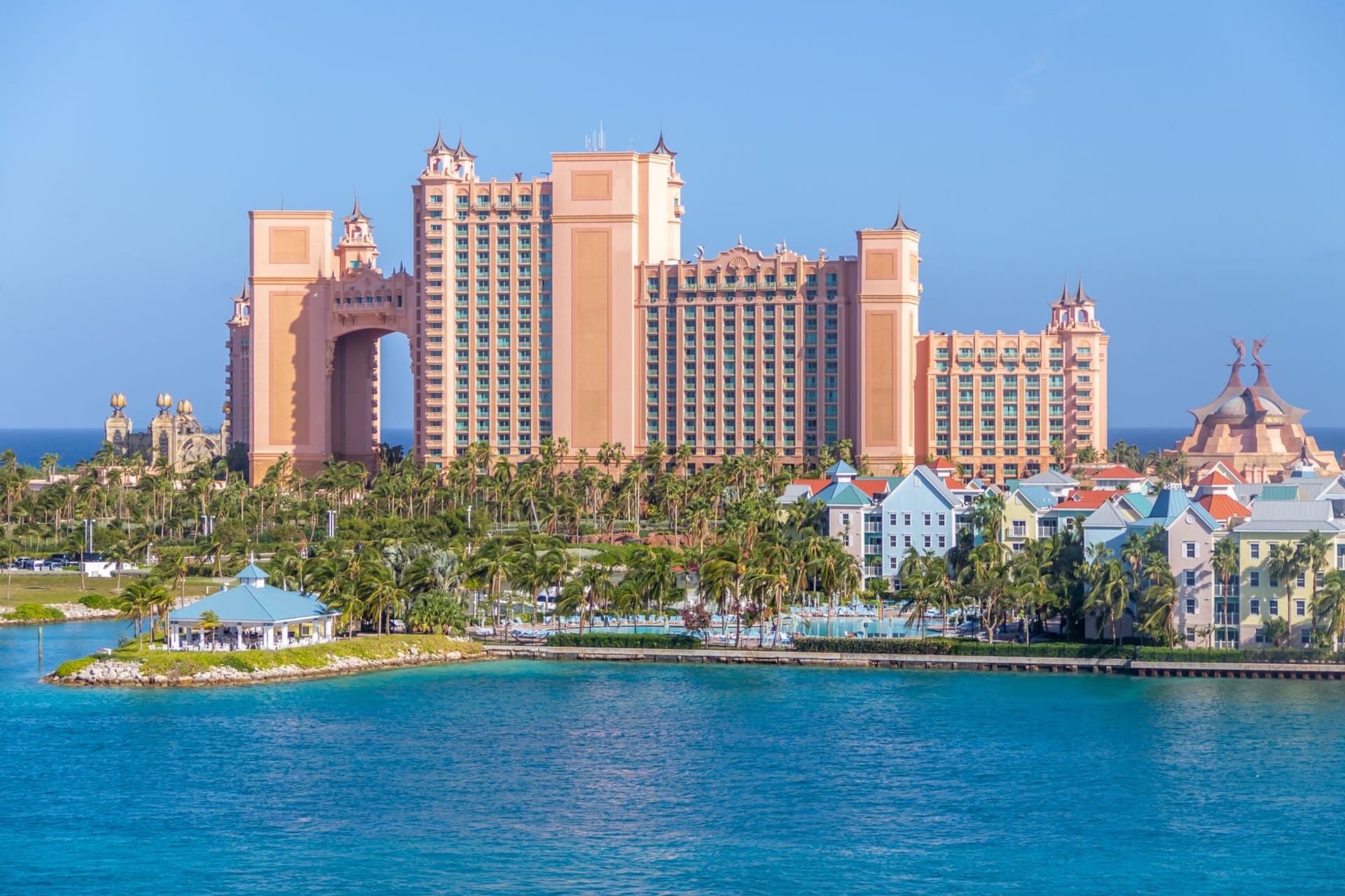
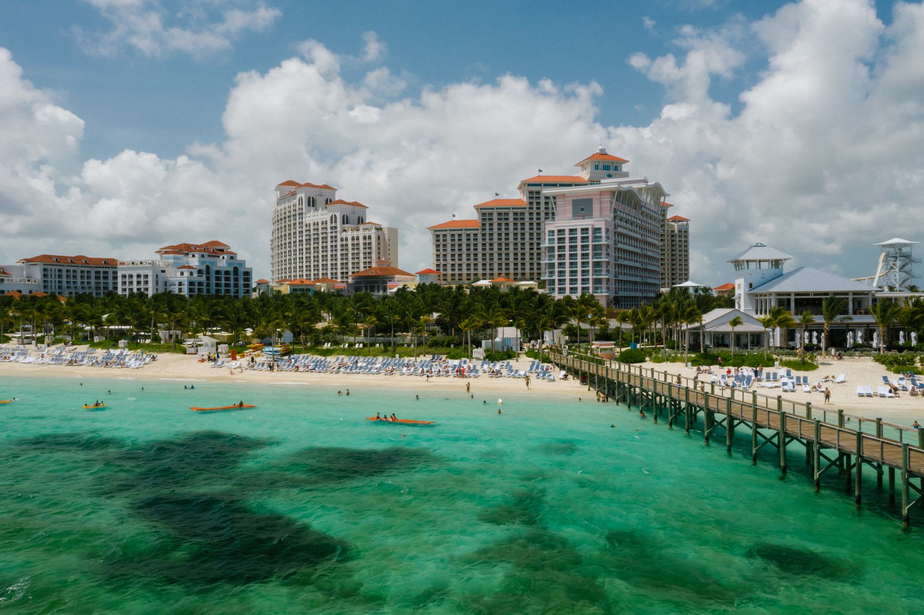
Freeport was built as a tax-free zone in the 1950s — a planned city on an island that had essentially no settlement, designed to attract commerce and tourism by administrative decree. The result is an urban environment with the architectural personality of an industrial park: wide roads, low-slung commercial buildings, casino hotels with the particular desperation of resort spaces built before their time, malls where the duty-free signage still hangs in the windows of shops that have been closed long enough to collect a specific quality of dust. I drove through it on the way to the east end of the island and found it mournful in the manner of unrealized visions, which is its own kind of interest. But Freeport is not why you come to Grand Bahama.
Twenty minutes east of the city, Lucayan National Park covers forty acres of mangrove, beach, and pine forest, and beneath it runs one of the longest known underwater cave systems in the world — a freshwater lens sitting atop the saltwater table, mapped by cave divers over decades through passages that the island’s original Lucayan inhabitants, the Arawak people who lived here before Columbus, used as burial sites. Ben’s Cave and Burial Mound Cave are accessible from the park’s walking trail, their entrances low limestone openings that descend into still water where stalactites hang in the dark and the temperature drops the moment you step inside. I stood at the edge of Ben’s Cave and felt the cold air rising from the water with the same disorienting intimacy as opening a refrigerator — a cold exhalation from underground, from darkness, from a mapped but still largely mysterious subterranean world. The boardwalk that leads through the mangroves to the cave entrances is itself worth the visit: the red mangroves crowd the path on both sides, their prop roots forming a submerged architecture below the surface, and the silence in there is botanical, the sound of growing things filtering what little wind reaches the ground.
Gold Rock Beach, at the park’s edge, is the beach that Grand Bahama should be known for and mostly isn’t. The sand is the particular white of powdered shell, the water is clear and shallow over a sand bottom that shelves gradually, and on a weekday in January there was nobody else there. The contrast with the Freeport hotel beaches — their organized loungers, their watercraft rentals, their staff with branded polo shirts — is so complete that they feel like two different islands. The national park protects this end from development, which is the only reason it still looks the way it does, and walking its length at low tide, the water ankle-deep and warm, with the mangrove forest behind and the Atlantic ahead, it’s possible to imagine Grand Bahama as it was before the administrative vision that gave it Freeport also gave it a certain melancholy.
When to go: November through April for the clearest cave water conditions and the most comfortable boardwalk temperatures. The mangroves are beautiful after rain in summer but mosquitoes are intense. Lucayan National Park charges a small entrance fee and is undervisited — most tourists in Freeport never leave the resort strip, which means the park often has the trail to itself.