Tizi n'Test Pass
"The road doesn't go through the Atlas here. It goes along the spine of it, and the difference is everything."
Most people cross the Atlas by the N9, the paved highway over Tizi n’Tichka that connects Marrakech to Ouarzazate. This is the sensible route: wide, well-maintained, served by tour buses and grands taxis, and with the UNESCO kasbah of Aït Benhaddou as its destination reward. I recommend it to no one who has time for the alternative. The Tizi n’Test road — the N10, cutting southwest from Marrakech toward Taroudant and the Souss Valley — is one of the great drives in Morocco, possibly in Africa, and it receives a fraction of the traffic it deserves because it goes somewhere people are not already trying to go.
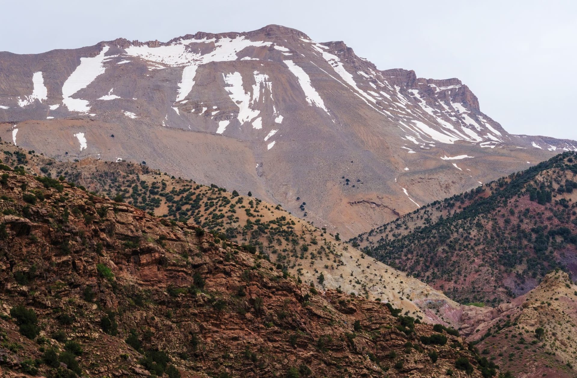
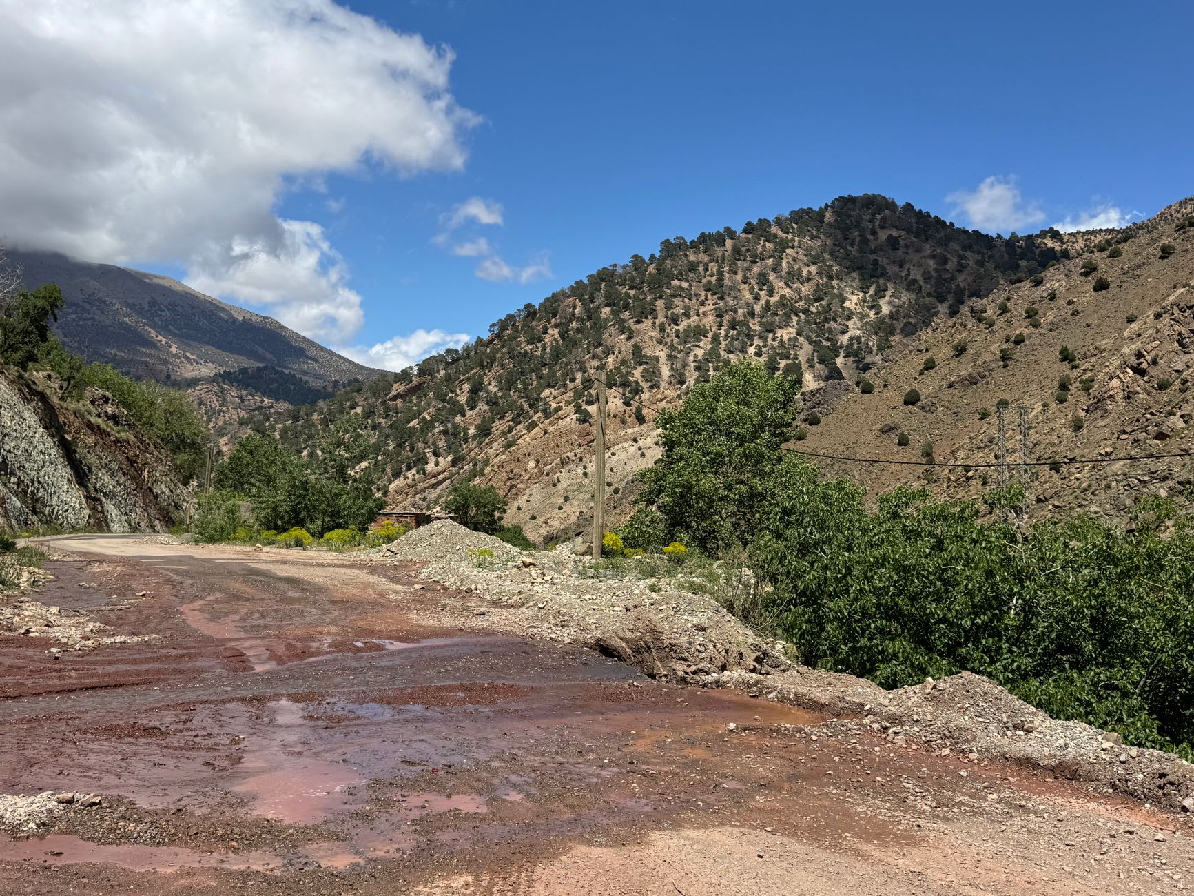
I left Marrakech early. The road through Tahanaout and up the Ourika basin is familiar enough, but at Ouirgane the N10 begins its real business, climbing through argan forest into the heart of the western High Atlas. The road narrows. The valley walls rise. By the time you’re past Ijoukak — a tiny village with a petrol station and an extremely good sense of its own importance — the road has become something that requires genuine attention: one lane in most places, with sheer drops on the outside edge and overhanging rock on the inside, sweeping around corners where the view opens suddenly onto a gorge that drops several hundred metres straight down into nothing. I stopped at each view point not for the photography but because my hands needed a break from the steering wheel.

The pass itself, at 2,092 metres, is marked by a café and a sign and a cluster of men selling amethysts and fossils — the geology of the High Atlas delivers both, in some quantity. From the pass you can see both worlds the Atlas divides: to the north, the folds of the western High Atlas and somewhere beyond them the Marrakech plain; to the south, the Souss Valley opening out toward Taroudant and the distant flat line of the Atlantic horizon on a clear day. I stood at that pass for twenty minutes in the wind and cold and felt, with unusual clarity, exactly where I was on the planet. The Atlas is the dividing line between Europe’s influence and the Sahara’s, between the Mediterranean climate and the desert, between Morocco’s crowded north and its emptier south. The pass makes this geography visceral.
Halfway down from the pass, just above the village of Ijoukak, a track leads to the Tin Mal mosque — a twelfth-century Almohad foundation, mostly ruined but partially restored, that sits in a gorge above the river with an authority that makes you understand why the Almohad dynasty began here in the mountains rather than in the cities. It is open to non-Muslims, which is unusual for Morocco, and the stripped-back interior — no decoration, no colour, the geometric severity of early Islamic architecture intact in the stonework — is more affecting for its nakedness. I sat in the prayer hall for a while in the dust and the silence and thought about what it means to build something intended to last and then watch the world stop needing it.
When to go: April through June and September through November. The pass can be closed by snow December through March — always check conditions before departing Marrakech. The drive is best done Marrakech to Taroudant with a night in Taroudant at the other end, giving you the full day to stop at Tin Mal and the pass viewpoints. Allow at least four hours for the crossing, more if you are doing it justice.