Chiricahua National Monument
"We came for the rocks and left thinking about everyone who'd hidden among them before us."
A hidden range of volcanic rock pinnacles in southeastern Arizona where Cochise once made his stand, and where we hiked in near-total silence.
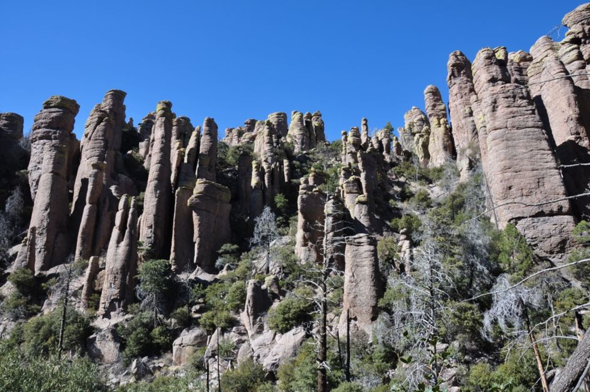
I’d never heard of Chiricahua before a ranger in Tucson mentioned it almost as an afterthought, the way locals do when they’re not sure you’ll actually go. Lia and I had three days free and no real plan, so we drove southeast past Willcox, watched the grasslands give way to oak scrub, and climbed into a range of mountains that looked, from a distance, like nothing special. Then the road curled into Bonita Canyon and suddenly there were rock spires everywhere, stacked and balanced and leaning at angles that seemed to defy the whole idea of gravity. I remember pulling over just to stare, coffee going cold in the cup holder, trying to understand how stone could look that deliberate without a single human hand involved.
It isn’t deliberate, of course — it’s roughly 27 million years old, the leftover architecture of a volcanic eruption so massive it makes the landscape feel almost accidental, sculpted afterward by millions of years of wind and rain picking away at softer rock and leaving the rhyolite pinnacles standing alone. Locals call it the Wonderland of Rocks, and hiking the Echo Canyon Loop that first afternoon, ducking under boulders wedged sideways between narrower stones, I finally got why. Lia kept stopping to photograph the same formation from four different angles, convinced each new position revealed something the last one hadn’t.
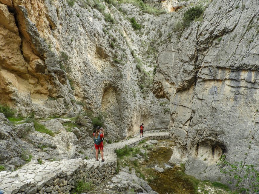
What stayed with me longer than the rock formations, honestly, was learning what this place had meant before it was a national monument. The Chiricahua Apache called these mountains home, and this exact terrain became a stronghold for Cochise and his people during the wars with the US Army in the 1800s — you can see immediately why. Every canyon doubles back on itself, every outcrop hides the next one, and standing in the middle of it I understood the label “Wonderland of Rocks” as something more than scenic branding. Calvin Coolidge signed the proclamation making it a monument in 1924, decades after the fighting ended, and walking those same passages with that history in mind changed the whole hike for me.
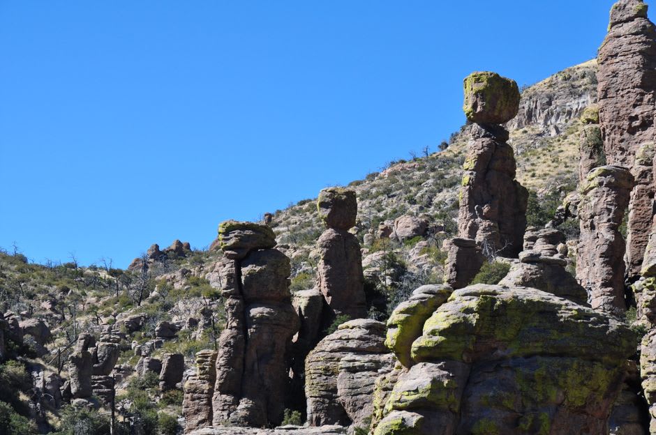
The other thing nobody warned us about was the wildlife. Chiricahua sits at a crossroads where Rocky Mountain, Sierra Madrean, and Sonoran species all overlap, and even on a short walk we spotted birds neither of us recognized — Lia swears one was an elegant trogon, though I’m still not convinced she wasn’t just hoping. We ended the second day sitting on a slab of warm rock near Massai Point, watching the light turn the pinnacles orange, and I didn’t want to leave.
When to go: we went in October and the trails were nearly empty with cool, dry air perfect for hiking — spring and fall generally give you the mildest temperatures on the pinnacle trails, well before Arizona’s summer heat makes the exposed rock sections punishing.