Arinsal
"Dead-end valleys have a particular quality of commitment. You drove here deliberately. Everyone did."
Arinsal is at the end of a road that goes nowhere beyond it. You take a narrow valley north from La Massana, the road climbing beside the Riu de la Margineda through pine trees and old farmhouses, and eventually the valley closes and the village appears — compact, steep, a little rough around the edges in the way of ski villages that have not been smoothed by serious money. The parking is awkward. The streets are too narrow for comfort. The slopes rise directly above the buildings in a way that makes the relationship between village and mountain feel unusually direct. I liked it immediately.
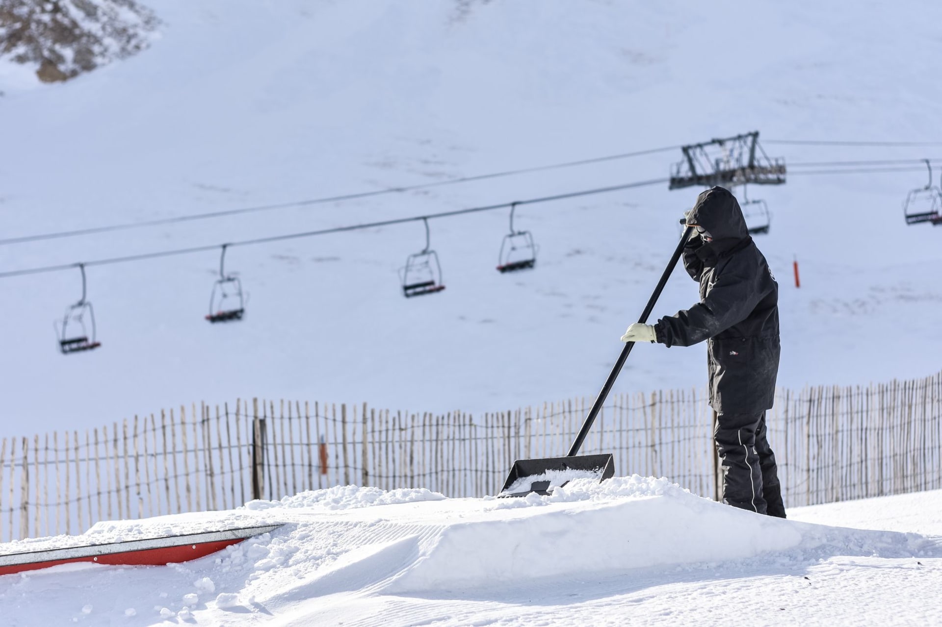
The ski terrain above Arinsal is linked to the Pal sector via a gondola connection that crosses the ridge between the two valleys, creating the Vallnord-Pal Arinsal domain of around a hundred kilometres of runs. Arinsal’s own sector faces northwest, which means it catches cold air and holds snow better than more sun-exposed aspects — in late February I found conditions here significantly better than at the main Grandvalira resort, where the warmer afternoons had been working on the south-facing slopes. The runs are best suited to intermediate skiers; there is nothing that will frighten an experienced alpinist, but there is enough variety to occupy a week comfortably without repetition becoming an irritant.

The village itself, outside the ski season, turns its attention to adventure sports with a seriousness that surprised me. Via ferrata routes on the cliffs above the valley, canyoning in the gorges below, mountain biking on trails that were designed for people who do not consider “steep” a deterrent — Arinsal has built an off-season identity around the idea that the mountain is a playground in multiple dimensions. I did a via ferrata route above the village in July with a guide who had grown up here and whose equanimity about the exposure was total. At one point we were moving laterally along a steel cable with a four-hundred-metre drop directly below my feet and she was talking about the best place to eat dinner as if we were walking down a high street. I chose not to look down more than was necessary and emerged at the top trembling slightly and very pleased with myself.
The bar situation in Arinsal is better than you would expect for a village of this size. There are several — concentrated mainly in the lowest part of the village — and in winter they have the energy of places that know their clientele arrived exhausted from the mountain and will leave early tomorrow morning. One of them, which I found on my second visit, played Catalan folk music on a Tuesday night to a room of about fifteen people that included a table of Spanish snowboarders, a French couple who looked like they had been skiing together for forty years, and a local man who kept the whole room in focus by the quality of his attention to the music. Nobody was performing anything. The wine was from Priorat and unreasonably good.

The hike from Arinsal to the Pic de Comapedrosa — Andorra’s highest peak at 2,942 metres — starts from the village car park and climbs for about four hours to the summit. I attempted it in late July when the snowfields on the upper section had reduced to patches. The summit view on a clear day extends across Andorra entirely, the country laid out below in its improbable complexity, and into both Catalonia and Ariège. It is the view that explains the country: a knot of mountain valleys, defensible by nature, inhabited by obstinate people, still here after centuries of everyone else’s wars.
When to go: December through March for skiing; late January and February tend to give the best snow conditions. June through September for via ferrata, hiking, and mountain biking — book guided activities in advance as the better operators fill quickly in July. The Comapedrosa summit hike is best July through mid-September when the upper snowfields are passable without ice axes.