
Río Loretoyacu
"The forest was flooded to its armpits and we paddled through the trees as though the world had always been this way."
A black-water tributary near Puerto Nariño where paddling through flooded forest at high water feels like moving through a drowned cathedral.

The river is called black not because it is actually black but because of the tannins dissolved in the water from decomposing forest matter — a deep tea colour that turns reflective at the surface and opaque just below, hiding whatever is beneath with total commitment. I put my hand in and couldn’t see it past the wrist. The Río Loretoyacu flows into the Amazon near Puerto Nariño, and during high water season it backs up into the forest on both sides, creating a flooded woodland that extends hundreds of meters from the main channel — trees standing in two or three meters of water, their roots invisible beneath the surface, their trunks rising from the dark water in configurations that suggest old growth precisely because they are.
My guide, a young Cocama man named Félix who had grown up on this river, paddled me upstream from Puerto Nariño in the early morning. The transition from the main Amazon into the Loretoyacu was immediate and sensory: the water colour changed from brown to black, the current slowed, the width narrowed, and the sound changed as the banks closed in and the canopy knitted overhead. By the time we turned off the main channel into the flooded forest, we were in something that felt less like a navigable waterway and more like a room that had been filled with water while the furniture was still in it.
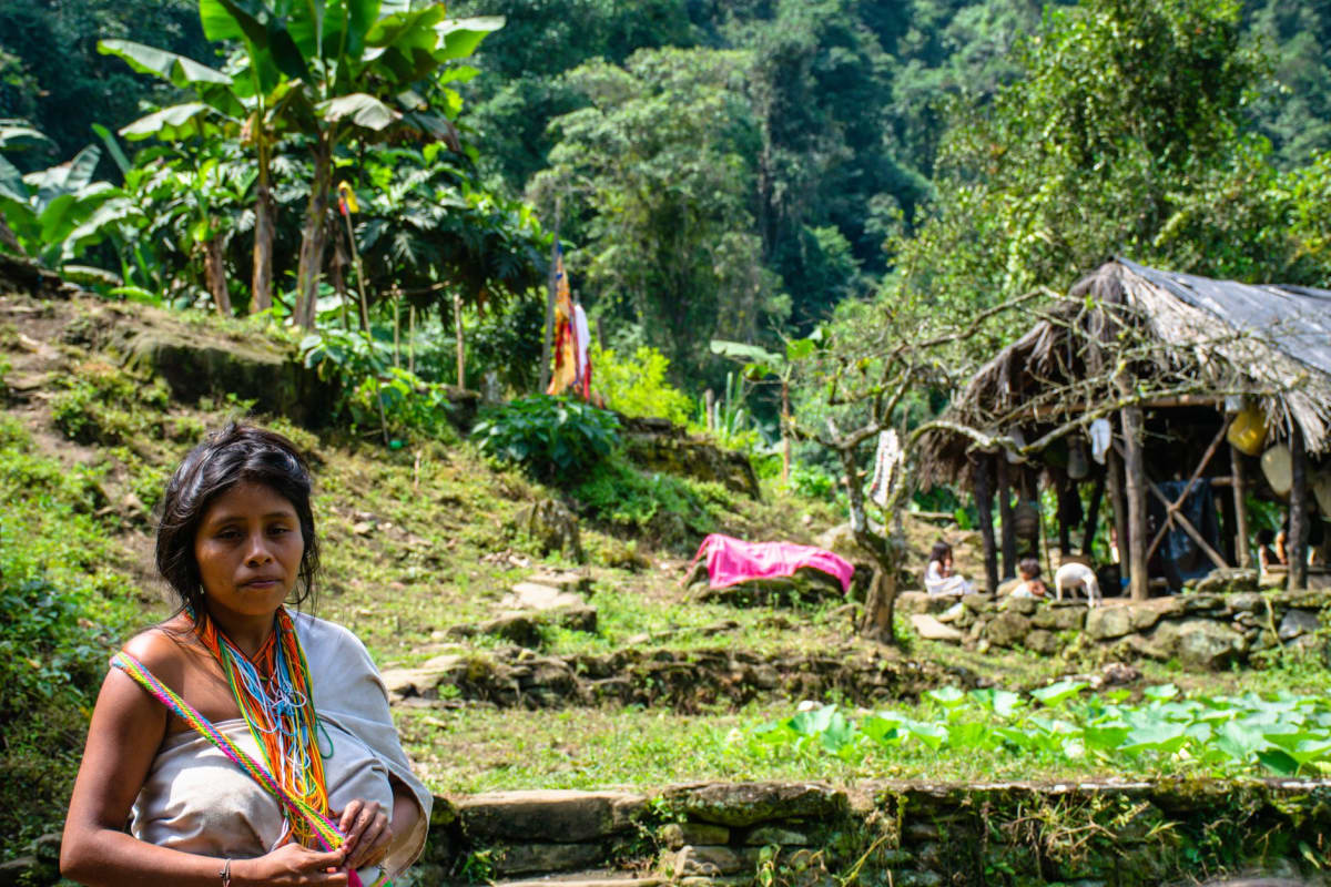
The flooded forest is its own ecosystem, functioning differently from both the dry forest and open river. Fish that normally live in the river move into the forest during high water to feed on the fruits that fall from trees flooded to their lower branches — an annual nutritional transfer so significant that it shapes the entire fish population dynamics of the Amazon basin. Félix explained this as we paddled, pointing to a tree with trailing branches just above the waterline where he said pacu came to feed on the berries. He had fished here his entire life and talked about the fish the way a farmer talks about his fields — by specific location, by season, by what each patch of forest produced.
We paddled for two hours through the trees, navigating by Félix’s knowledge rather than any visible channel, passing through stands of açaí palm and flooded cecropia and enormous old trees whose buttress roots spread above the waterline in configurations that looked designed. The silence was not complete — birds called overhead, something broke the surface twenty meters away and was gone — but it had a quality of enclosure, of being inside something, that the open river didn’t produce. The light came through the canopy in green columns, slanted and particulate, the way light looks in water.
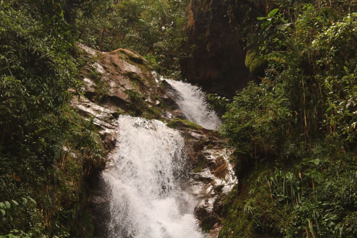
We found caimans in three locations, motionless in the root tangles at the edge of flooded clearings, their textured backs almost indistinguishable from wet wood until they moved an eye. Félix said they were always here during high water, that they moved deeper into the forest when the river rose to take advantage of the same opportunity as the fish — more food sources, less open-water predation pressure. He said this with the matter-of-fact certainty of someone for whom this knowledge was not educational but navigational: essential, orienting, known since childhood.
The return journey took us back along the main Loretoyacu channel, and I watched the tree shadows moving on the black water and thought about the fact that this forest had been flooding this way every year for longer than any text I had ever read could account for. The tannins in the water. The fish eating the fruit. The caimans waiting in the roots. The same system, cycling, patient, getting on with it.
When to go: The Río Loretoyacu is most compelling from June through October, when high water levels allow paddling directly through the flooded forest. Arrange the trip from Puerto Nariño with a local guide — the flooded forest requires someone with navigational knowledge, as the channel boundaries disappear underwater. Half-day paddles are possible; full-day excursions go deeper.
Keep exploring
More from Colombian Amazon
 amazon-colombia
Reserva Natural Tanimboca
A jungle canopy reserve fifteen minutes from Leticia where you sleep on platforms forty meters up and wake to a river of birds at eye level.
Explore amazon-colombia
Tarapacá
A remote frontier village on the Putumayo River deep in Colombia's far Amazon, reachable only by river or a tiny plane, where the forest still sets the rules.
Explore amazon-colombia
Victoria Regia Lakes
Quiet oxbow lakes near Puerto Nariño carpeted with giant lily pads big enough to hold a small child.
Explore amazon-colombia
Comunidad Macedonia
A Tikuna riverside community an hour from Leticia where traditional craftwork, medicinal plants, and ceremonial knowledge are held without apology.
Explore amazon-colombia
Isla de los Micos
A river island where woolly monkeys descend on passing boats and the wildlife treats humans as furniture rather than a threat.
Explore amazon-colombia
Isla Santa Sofia
A river island that vanishes and reappears with the Amazon's floods, home to a Ticuna community that still fishes the old way.
Explore