Frank Slide
"Turtle Mountain took ninety seconds to bury a town, and the boulders are still exactly where they landed."
The site of Canada's deadliest rockslide, where a chunk of Turtle Mountain broke off in 1903 and buried part of a mining town under eighty million tonnes of limestone in under two minutes.
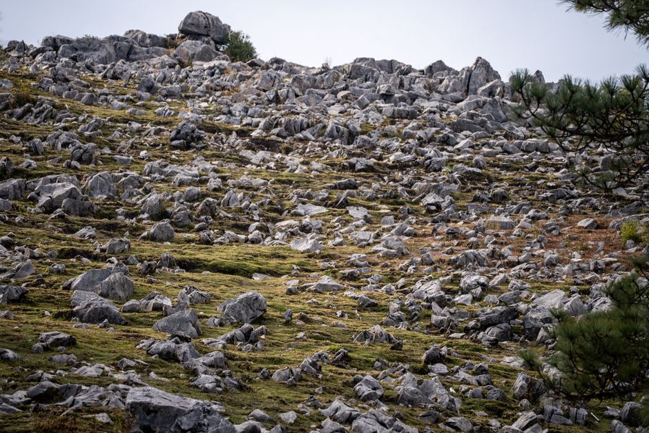
Driving through Crowsnest Pass in the far southwest corner of Alberta, you come around a bend and the valley floor is suddenly, inexplicably covered in boulders — not scattered rocks, an entire square kilometre of jumbled limestone chunks the size of cars and small houses, spreading from the base of Turtle Mountain right across the valley and partway up the opposite slope. It looks less like a natural landscape than a demolition site, because that’s essentially what it is. At 4:10 in the morning on April 29, 1903, roughly eighty-two million tonnes of the mountain’s eastern face broke away and slid into the valley in under two minutes, burying part of the town of Frank and killing somewhere between seventy and ninety people, most of whom were never recovered from beneath the rock.
I stopped at the interpretive centre built on the edge of the slide and the exhibits do a careful, unflinching job of explaining both the geology and the human toll — coal mining beneath the mountain, unstable limestone layers, a wet spring, and a particularly cold night all combining at the worst possible moment. What stayed with me longest was a photograph of the mountain from before the slide next to one from after: an entire section of peak simply missing, a raw grey scar where Turtle Mountain used to have a summit. The Piikani and Ktunaxa peoples reportedly called it “the mountain that moves” long before the disaster, having noticed the instability generations earlier.
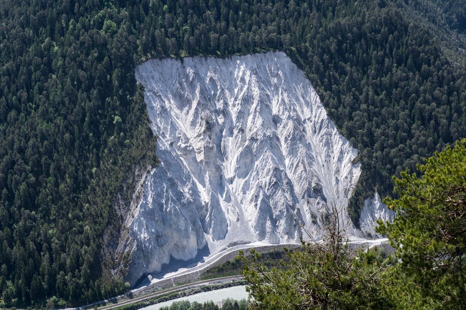
Walking the interpretive trail out onto the boulder field itself is a strange experience — the rocks are enormous, some the size of small buildings, and they sit exactly where they came to rest more than a century ago, still largely bare of soil or significant vegetation because limestone this size breaks down so slowly. Part of the original townsite and the old highway both remain buried somewhere beneath the debris, and the trail signage marks approximately where houses and a section of railway once stood before that morning. It’s a somber place rather than a scenic one, but Turtle Mountain is still geologically unstable today, monitored continuously, and standing at the base of it looking up at that scar gives you a genuinely different relationship to the word “mountain” than anywhere else in Alberta.
When to go: The interpretive centre is open year-round with reduced winter hours, but late spring through early fall gives full access and lets you walk the outdoor trails through the boulder field comfortably.
Keep exploring
More from Alberta
 alberta
 Head-Smashed-In Buffalo Jump
A ten-metre sandstone cliff near Fort Macleod where Plains peoples drove bison to their deaths for nearly six thousand years, now a UNESCO site built directly into the escarpment.
Explore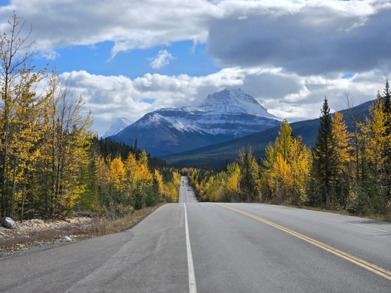 alberta
 Icefields Parkway
Two hundred and thirty kilometres of mountain road that make you understand why people quit their jobs to drive across Canada.
Explore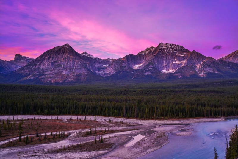 alberta
 Jasper
A mountain town that lets wolves and elk set the tone — wilder, quieter, and less polished than Banff in all the right ways.
Explore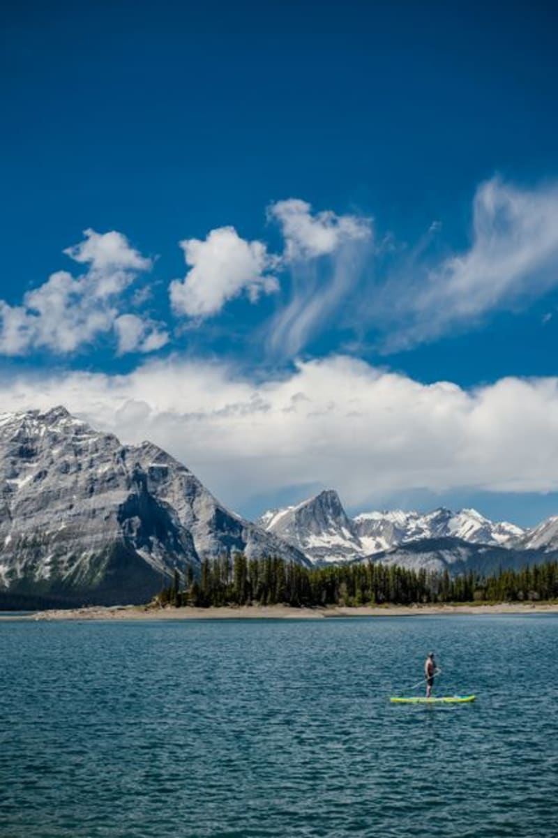 alberta
 Kananaskis Country
A sprawling network of provincial parks and wilderness west of Calgary, essentially a second, less-visited Rockies experience that most people driving straight to Banff never think to stop for.
Explore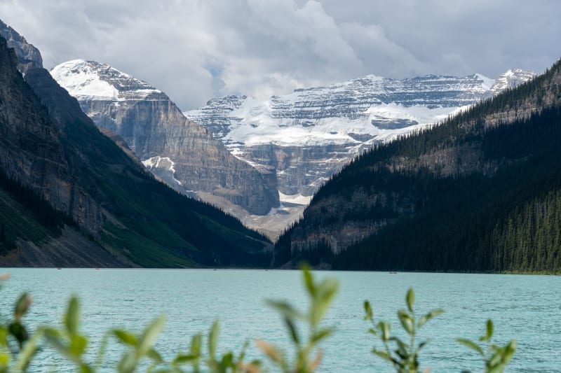 alberta
 Lake Louise
A glacial lake so improbably turquoise it looks like a postcard of itself, and somehow still delivers in person.
Explore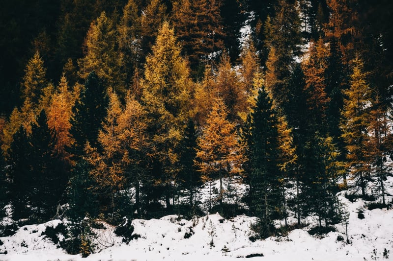 alberta
 Larch Valley
A high alpine meadow that burns gold for two weeks every October, when the larches turn and most visitors have already gone home.
Explore