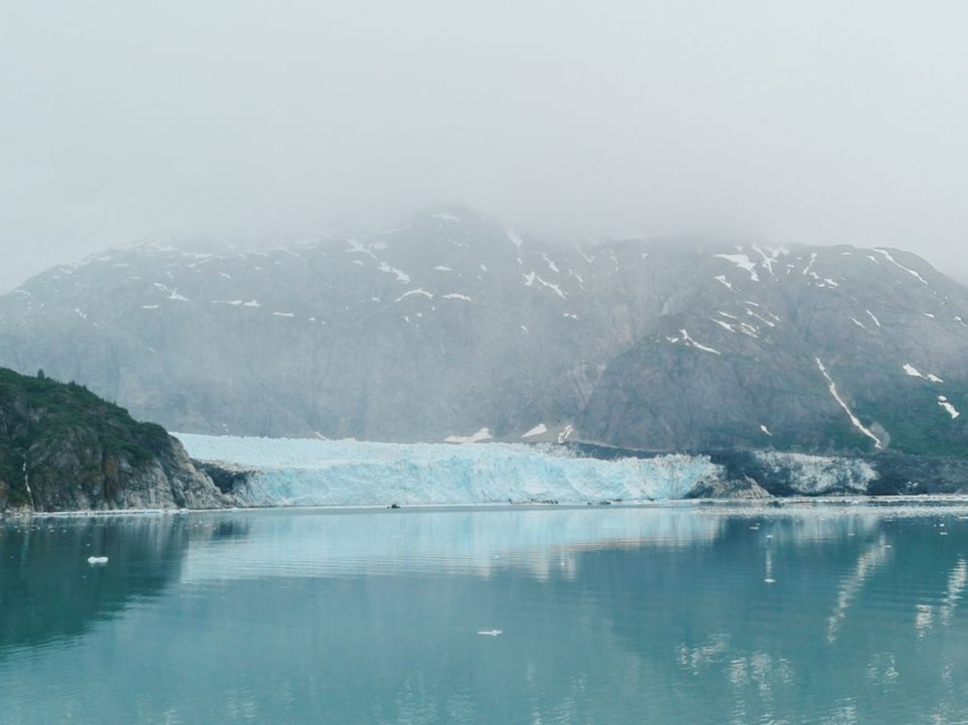
Glacier Bay National Park
"Glacier Bay is a landscape still being written, one calving glacier at a time."
A national park that didn't exist two centuries ago, still opening up as tidewater glaciers retreat from a bay carved entirely within living memory.
Glacier Bay is one of the strangest places I’ve stood in Alaska because of how recent it is. When Captain George Vancouver charted this coast in 1794, the entire bay was a solid wall of ice — there was no bay, just a glacier extending out into Icy Strait. In the roughly two centuries since, that ice has retreated more than a hundred kilometers, one of the fastest glacial retreats ever recorded, leaving behind a fjord system that is, geologically speaking, brand new. Standing at Bartlett Cove near the park entrance and knowing that the ground under my feet was under solid ice within a few human generations does something to your sense of time.
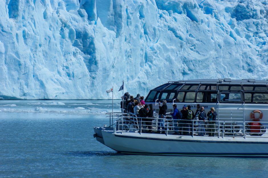
Most visitors see the park from the deck of a day boat tour, which is a legitimate way to experience it — the boat pushes up-bay past Marble Island’s roaring sea lion colony and eventually parks in front of one of the active tidewater glaciers, Margerie or Johns Hopkins depending on ice conditions, where the boat cuts its engine and everyone just listens. Glaciers make sound constantly, a background crackle called “white thunder” by early visitors, punctuated by the genuine boom of calving events that send waves rolling toward the boat minutes after the ice has already fallen. I watched a section the size of an apartment building collapse into the water and felt the boat rock from the wave nearly ninety seconds later.
For those willing to work harder, sea kayaking in the bay’s quieter arms is a different order of experience — paddling silently past harbor seals hauled out on ice floes, black bears working the shoreline at low tide, and humpback whales that surface close enough to hear the exhale before you see the blow. This is also Huna Tlingit homeland, and the park’s cooperative management with the Hoonah Indian Association and the tribal house built at Bartlett Cove are a meaningful acknowledgment that this landscape, however young geologically, carries a much older human history than the ice retreat timeline suggests.
When to go: June through August for the most reliable weather and full wildlife activity, including peak whale season. The park is accessible only by boat or plane — no road connects it to the highway system — so plan transport well in advance.