Torrey
"In Torrey, the nearest stoplight is an hour away, and the sky fills in everything the town leaves out."
A tiny high-desert outpost at the edge of Capitol Reef National Park, where orchards planted by Mormon pioneers sit beneath cliffs of Wingate sandstone. Lia and I stopped for pie and ended up staying for the emptiest, most starlit night either of us had experienced in years.

Torrey has maybe a few hundred residents and one short main street, but it sits at exactly the right spot — the doorstep of Capitol Reef National Park, where a hundred-mile wrinkle in the earth called the Waterpocket Fold rises out of the high desert. Lia had read about a pie shop supposedly worth a detour, and we arrived hungry and slightly skeptical; we left an hour later full of fruit pie made from fruit grown a few miles down the road, already rearranging our plans to stay the night instead of pushing on toward Moab.
Capitol Reef’s orchards
What makes Capitol Reef unlike any other national park is Fruita, a former Mormon pioneer settlement inside the park boundary where the National Park Service still maintains historic orchards of apple, peach, cherry, and apricot trees along the Fremont River. In season, visitors can walk in and pick fruit straight off the trees for a small fee, and we spent a warm afternoon doing exactly that, juice running down our wrists, mule deer grazing unbothered a few rows over. The orchards sit beneath towering red-and-cream cliffs, an odd and lovely collision of cultivated green and raw sandstone.
The Waterpocket Fold
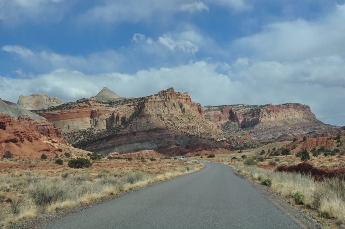
Capitol Reef takes its name from the white sandstone domes that reminded early travelers of a ship’s reef, and Capitol Dome itself, and the park protects the Waterpocket Fold, a nearly hundred-mile monocline where the earth’s crust buckled and tilted the rock layers on their sides. We drove the scenic drive south past Grand Wash and Capitol Gorge, then hiked into Grand Wash itself, a narrow canyon with walls rising several hundred feet on either side, the trail floor sandy and cool even under a blazing midday sun. It’s a quieter, less crowded cousin to Utah’s more famous parks, and we had long stretches of trail entirely to ourselves.

A dark-sky night
Torrey sits far enough from any real city that it’s been designated an International Dark Sky community, and our second night there delivered on the promise completely. We drove a few minutes out of town, cut the headlights, and lay on the hood of the car while the Milky Way came up in a thick, unmistakable band overhead, more stars visible than either of us had ever seen at once. A local we’d met at the pie shop had told us to look for satellites too, and sure enough we counted three sliding silently across the sky before the cold finally drove us back inside.

Getting There
The nearest airports are in Salt Lake City, about three and a half hours north, or the smaller regional airport in Cedar City, roughly two hours southwest. Torrey sits on State Route 24, just a few minutes from Capitol Reef’s entrance, and the drive in on this two-lane highway is itself a scenic event, winding through red-rock canyons with almost no other traffic. There is no public transit here at all — a car, and a full tank of gas, are non-negotiable.
Keep exploring
More of Utah
Keep exploring
More from Utah
 united-states
Capitol Reef
A hidden fold in the Utah desert where red rock domes rise over pioneer orchards and slot canyons narrow to a slit of sky. Less famous than its neighbours, and better for it. This is the park you have half to yourself.
Explore united-states
Bryce Canyon
Thousands of flame-colored hoodoos glow like embers at dawn in this otherworldly Utah amphitheater.
Explore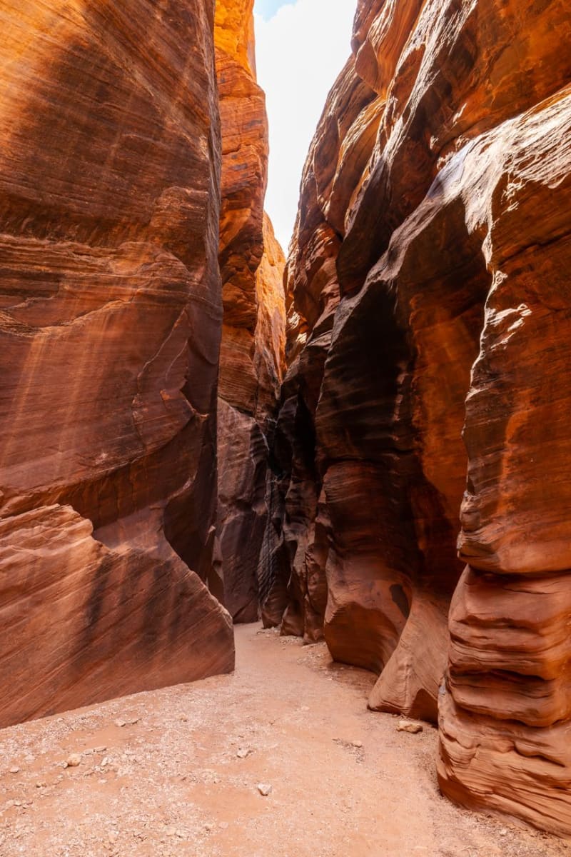 united-states
Kanab
A red-rock crossroads town nicknamed 'Little Hollywood' for the Westerns once filmed on its surrounding cliffs, now better known as the gateway to Utah's slot canyons and the world's largest no-kill animal sanctuary. Lia and I used it as our base for three days of canyon dust and dog-eared trail maps.
Explore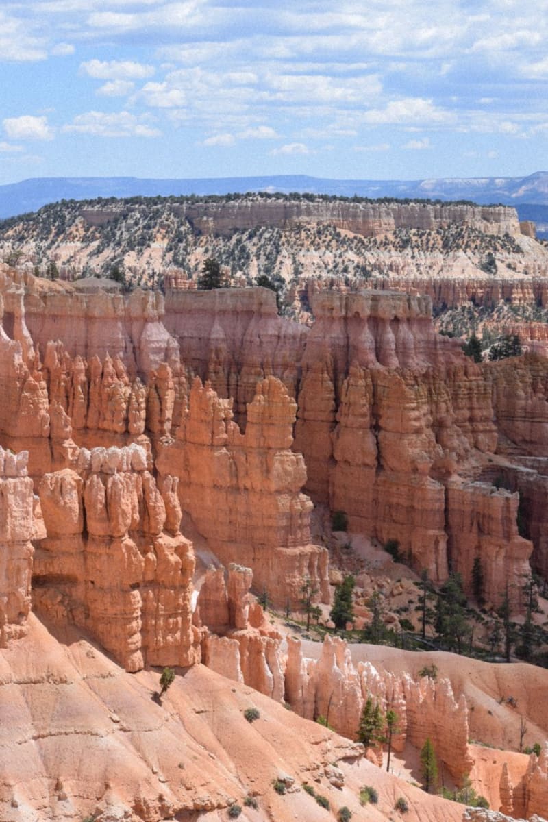 united-states
Cedar City
A high-desert college town billing itself the Festival City, home to a Tony Award-winning Shakespeare festival and the gateway to Cedar Breaks' amphitheater of red rock. Lia and I split our days between matinees on a half-timbered stage and hikes above 10,000 feet.
Explore united-states
Zion National Park
Towering sandstone cliffs and the Virgin River narrows make Zion one of America's most dramatic landscapes.
Explore united-states
Moab
Gateway to arches and canyonlands — a red desert playground for hikers, bikers, and stargazers.
Explore