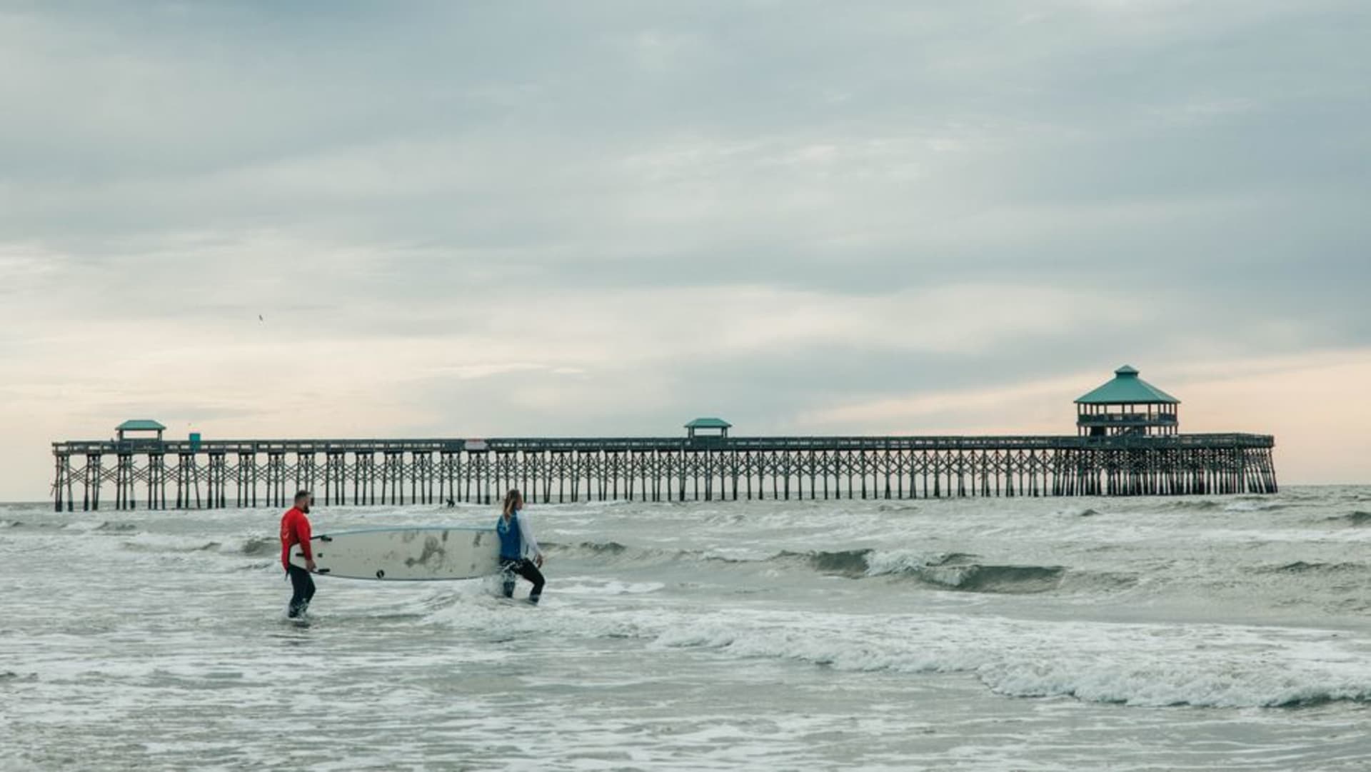
Folly Beach
"Folly Beach calls itself the Edge of America, and it wears the nickname with a surfboard under one arm."
Charleston's scrappy barrier-island beach town, self-styled the Edge of America, where surfboards outnumber golf carts and the pace is set by tide charts, not tee times. Lia and I watched the sun set behind a shipwrecked pier and ate fish tacos with sand still on our feet.
Folly Beach is only twenty minutes from downtown Charleston, but it feels like crossing into an entirely different, looser state of mind — Center Street’s bars have their doors open to the sand, surfboards lean against every third porch, and the town’s unofficial motto, “The Edge of America,” is stenciled on t-shirts in half the shop windows. Lia and I came out for what was supposed to be a couple of hours and stayed until the streetlights came on, mostly because nobody there seemed to be keeping track of time either.
The Washout and Morris Island
The Washout, a stretch of beach near the island’s east end where a 1989 hurricane channel cut through the dunes, is the closest thing the East Coast has to a proper surf break, and we sat on the sand for an hour watching a mixed crowd of teenagers and gray-bearded longtime locals trade waves. Looking south down the beach, the black-and-white Morris Island Lighthouse stands alone in the surf, stranded offshore by decades of erosion and now reachable only by kayak or a long low-tide walk — a genuinely strange sight, a fully intact 1876 lighthouse standing in open water with no island left around it.

Center Street and the fishing pier
We ate dinner at a taco counter on Center Street, the town’s one real commercial strip, packed elbow to elbow with surfers still in wetsuits and families dragging beach gear back to their cars, then walked out onto the Folly Beach Fishing Pier as the sky went orange — at 1,045 feet, it’s one of the longest on the Atlantic coast, rebuilt after storms took earlier versions, and fishermen were still reeling in whiting as the light faded. It’s the kind of unglamorous, salt-worn town DuBose Heyward reportedly used as inspiration for the fictional Catfish Row setting of Porgy and Bess, and that scrappy, unpolished character hasn’t changed much since.
Getting There
Charleston International Airport (CHS) is the nearest airport, about 30 minutes away via James Island Connector and Folly Road. A car is the easiest way in, though once you’re on the island, Center Street and the beach are entirely walkable.
Keep exploring
More of South Carolina