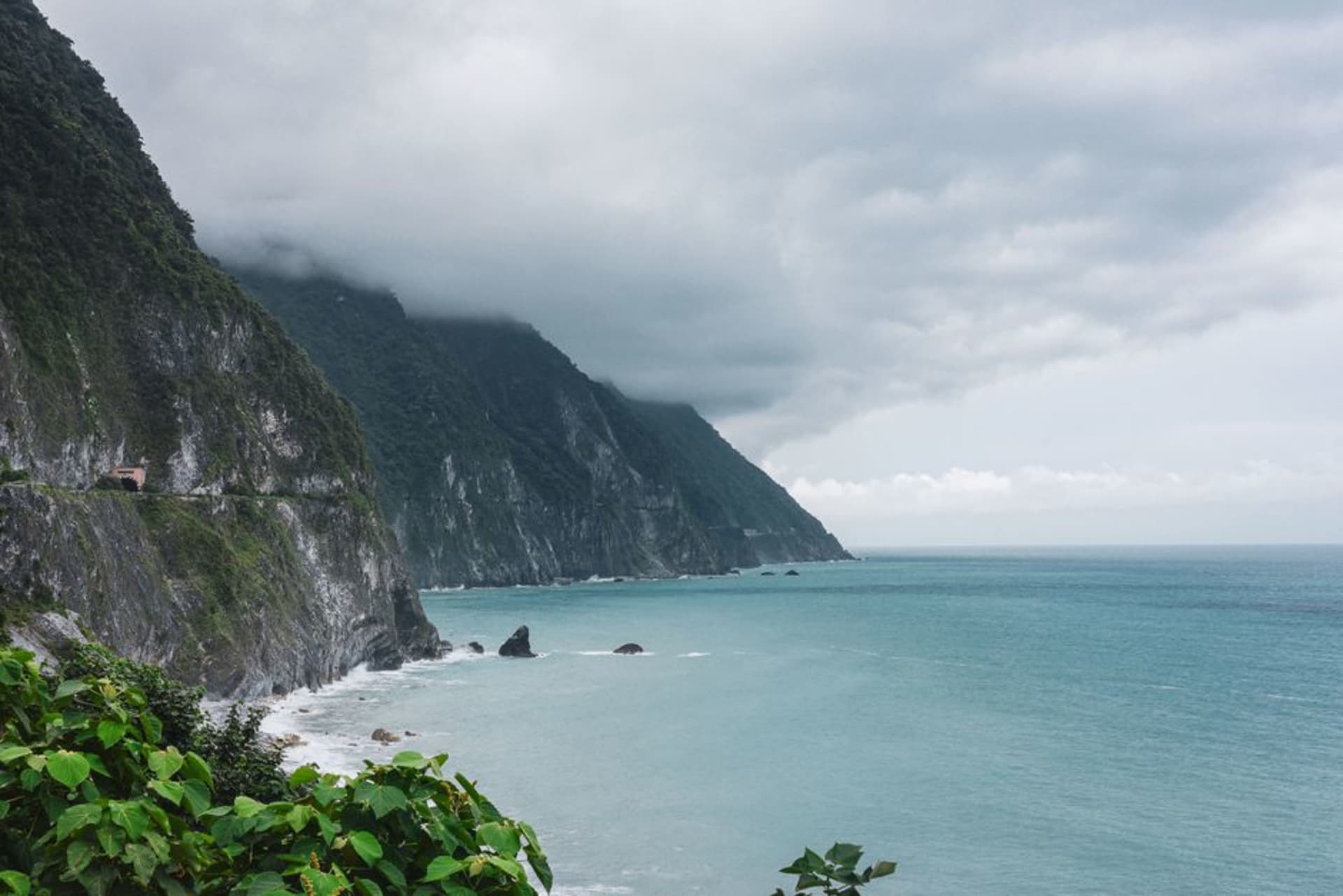
Qingshui Cliff
"The train hugs the cliff so closely that for a few seconds it feels like the Pacific is inside the carriage with you."
A dizzying stretch of marble cliff face dropping straight into the Pacific along the Suhua Highway, where the road and the railway both cling to a ledge blasted from solid rock.
The Suhua Highway between Su’ao and Hualien has a reputation among Taiwanese drivers that borders on folklore — a road carved into marble cliff face so steep that for over a century it was considered one of the most dangerous drives on the island. Qingshui Cliff is its signature stretch: roughly twenty-one kilometers where the mountains fall directly into the Pacific with no beach, no buffer, nothing but a sheer face of pale rock plunging eight hundred meters down.
Watching It From the Train
The best way to experience Qingshui Cliff isn’t driving it, which requires white-knuckled attention to a road with limited shoulders and frequent rockfall closures. It’s taking the train. The Taroko Express line runs directly beneath the cliffs for several minutes, close enough that the marble face fills the window entirely before falling away to reveal open ocean on the other side. I had a window seat by luck rather than planning, and spent the whole segment with my phone camera up, mostly capturing blur, because the scale genuinely resists photography.
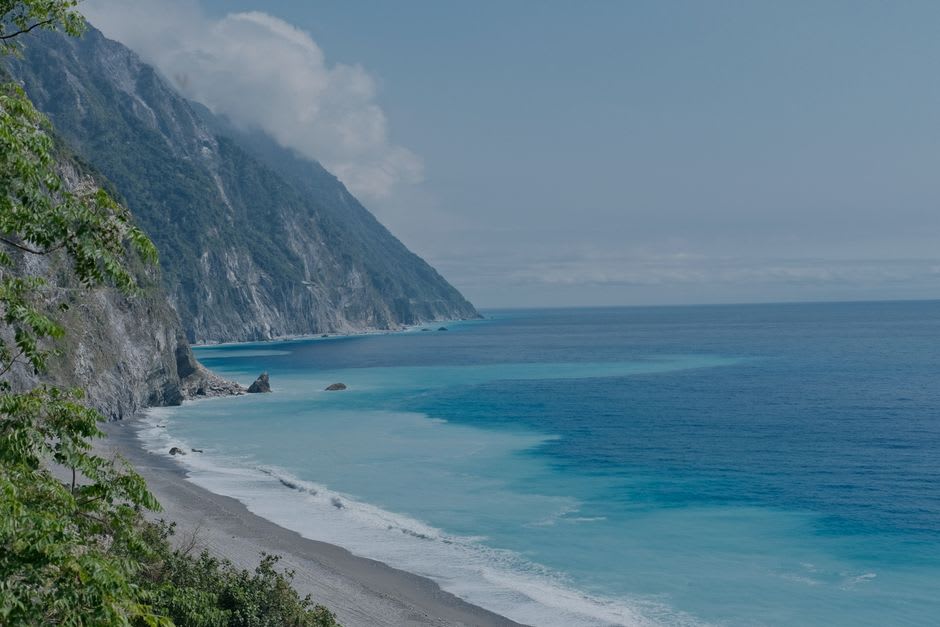
The Old Suhua Highway Trail
For a slower encounter, a preserved section of the original highway — now closed to cars — has been converted into a walking trail near Chongde. I walked about forty minutes of it on a clear morning, the cliff rising sharply on one side and a drop to churning water on the other, protected by a low guardrail that felt more symbolic than structural. A cyclist coming the other direction stopped to tell me, unprompted, that he’d been doing this ride annually for a decade and it never got less intimidating. I believed him.
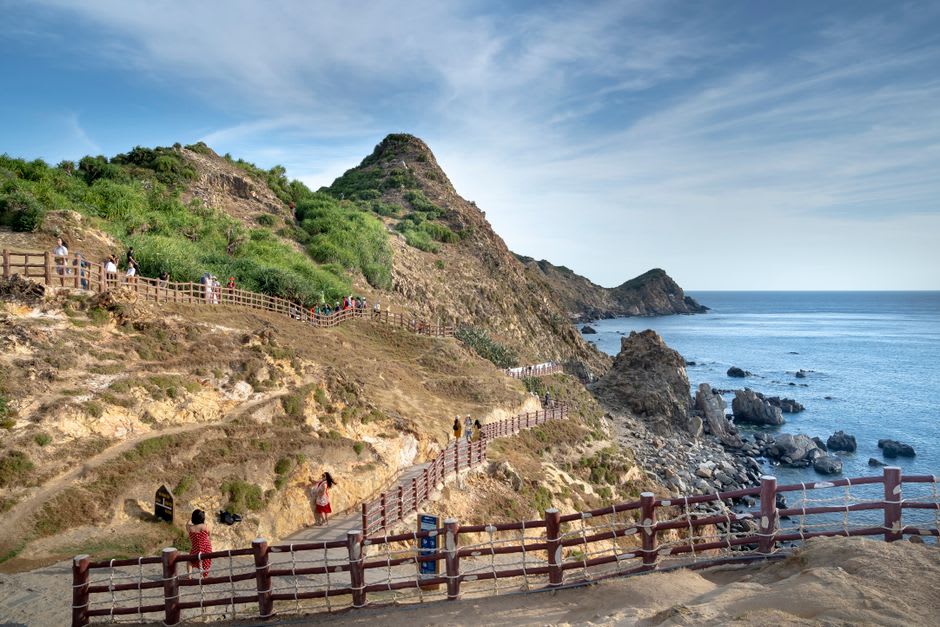
When to go: Year-round by train, since the line runs regardless of weather within reason. If driving or walking the old highway trail, aim for October through April, when typhoon-driven rockfall risk is lowest and visibility is best.
Keep exploring
More from Taiwan
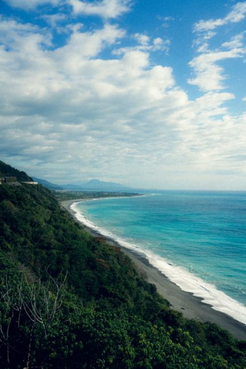 taiwan
 Qixingtan Beach
A crescent of smooth grey pebbles just north of Hualien airport, where fighter jets occasionally roar overhead and the Pacific arrives in the kind of waves that discourage swimming and reward watching.
Explore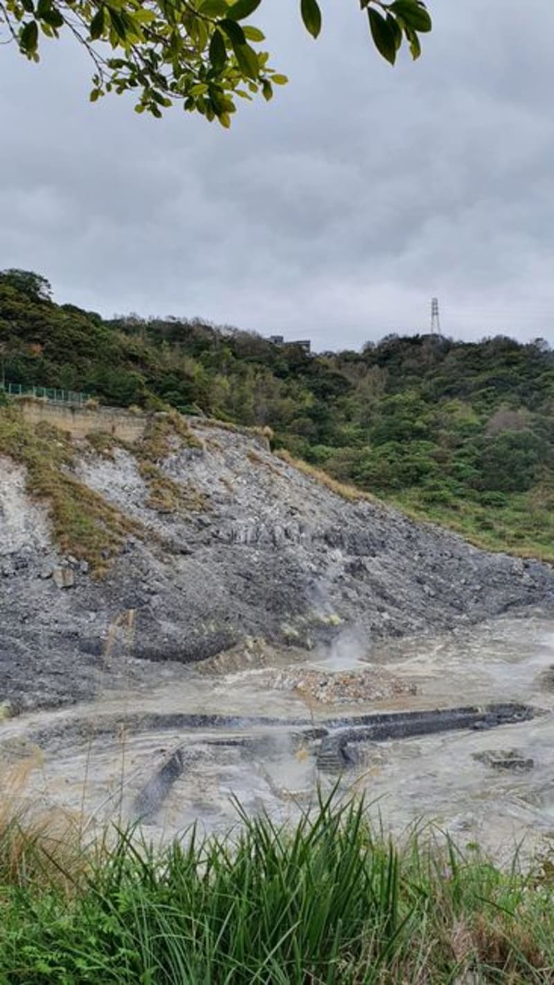 taiwan
 Ruisui Hot Springs
A quiet Rift Valley township with rust-colored carbonate hot springs discovered by the Japanese, and some of the least touristed soaking pools in Taiwan.
Explore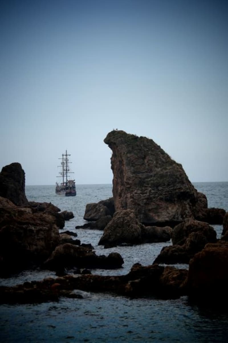 taiwan
 Sail Rock
A lone limestone pillar rising from the shallows near Kenting, shaped by wind and tide into an uncanny silhouette of a ship under sail.
Explore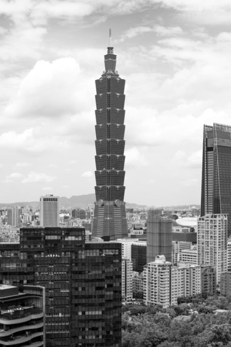 taiwan
 Sandimen
A mountain township above the Pingtung plains where Paiwan and Rukai indigenous communities keep glass-bead craft and slate architecture alive.
Explore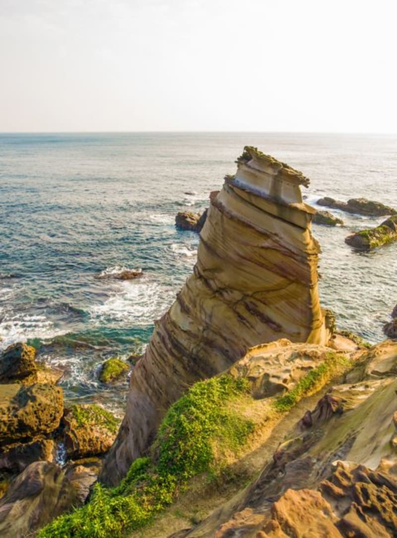 taiwan
 Sanxia
A red-brick old street south of Taipei where baroque facades, a wooden temple that took decades to carve, and a golden pastry called jinniu horn share three blocks of covered arcade.
Explore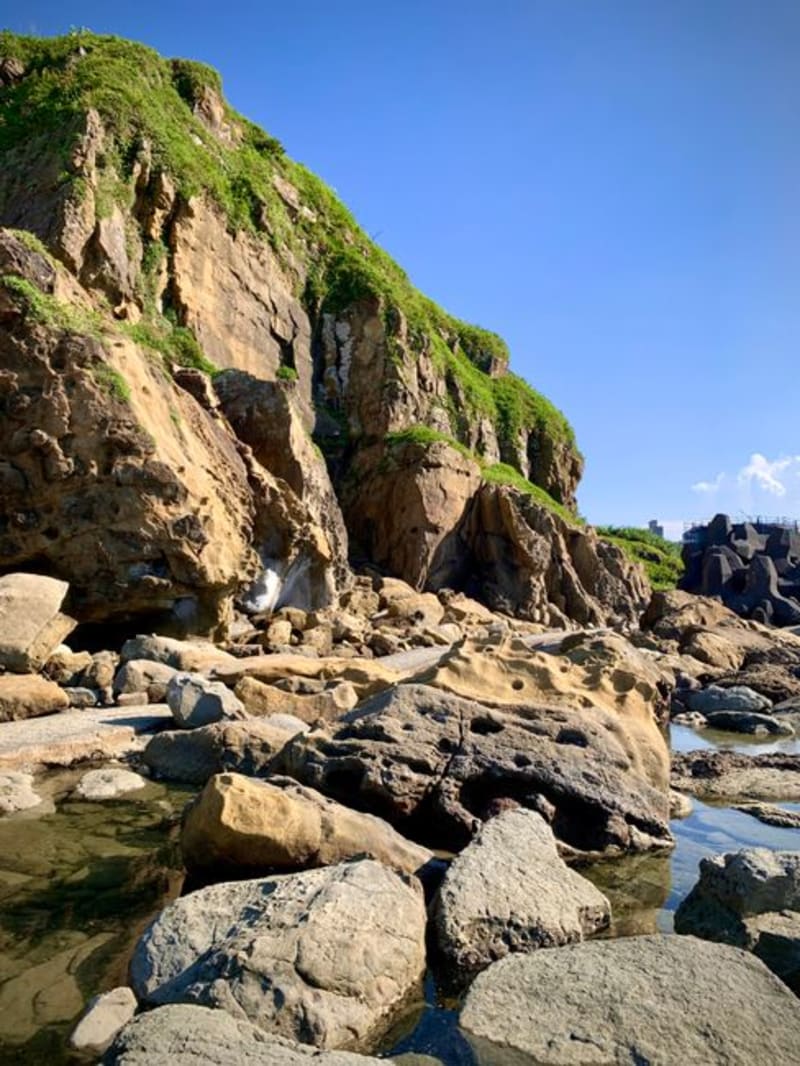 taiwan
 Sanxiantai
An eight-arched pedestrian bridge curling out to a rocky former island on Taiwan's east coast, named for three legendary immortals who supposedly rested here.
Explore