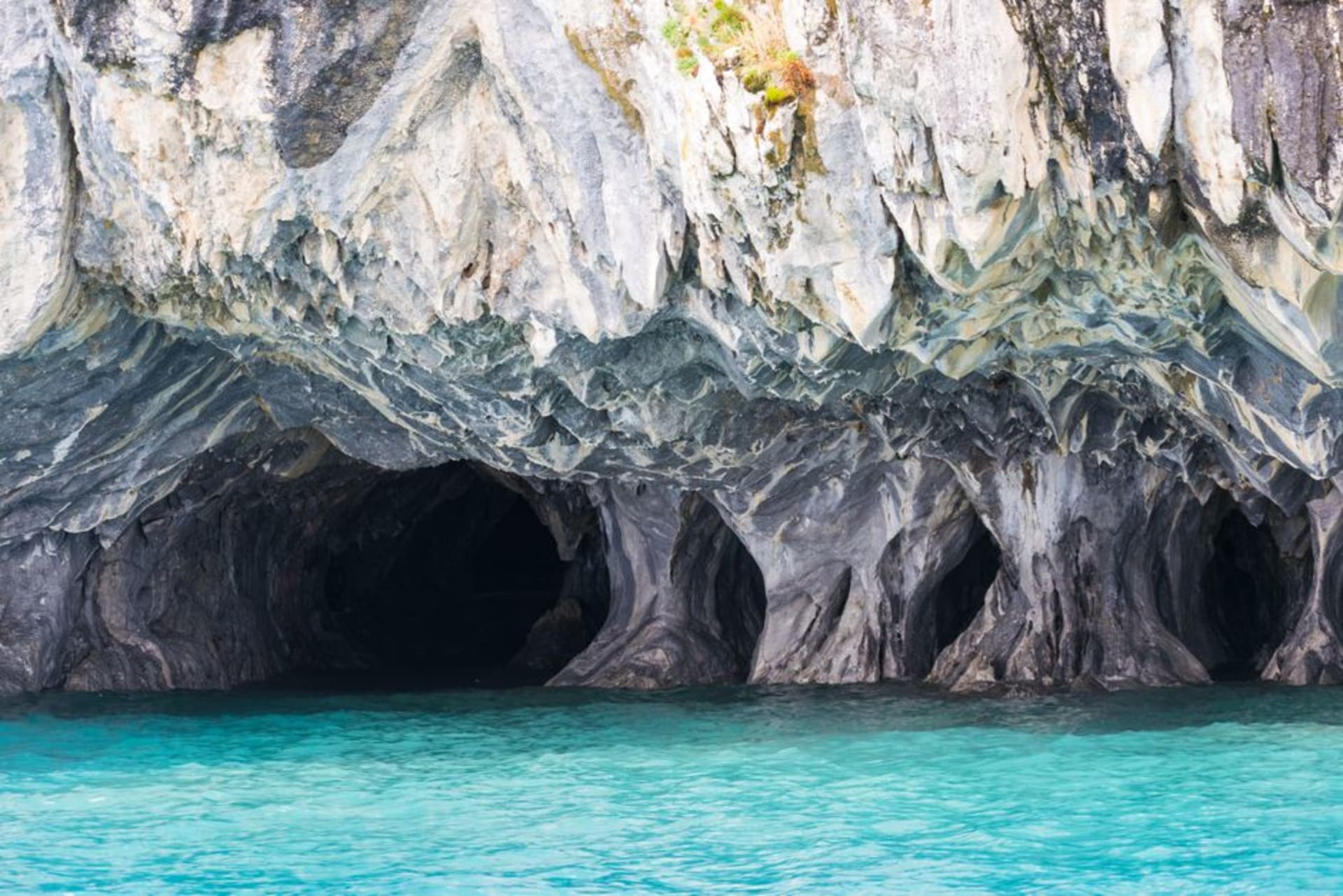
Marble Caves (Capillas de Mármol)
"We paddled into a cathedral no one built, and the lake did all the work."
Wave-carved marble chapels rising from a glacial-blue lake, reachable only by small boat from a village at the end of the road.
Lia found the photo first, on someone’s blog, months before we ever set foot in Patagonia: a cave the color of skimmed milk and denim, water so blue it looked corrected in post. I didn’t believe it was real until I was sitting low in a small boat out of Puerto Río Tranquilo, watching the marble peninsula come apart into arches and hollows in front of us. General Carrera Lake is the second-largest lake in South America, shared between Chile and Argentina, and the color comes from glacial rock flour, fine sediment ground down by ice and suspended in the water so the whole lake glows from within. Nothing about that description prepares you for actually being on it.
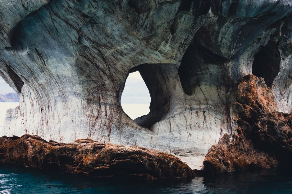
Our boatman cut the engine as we slid into the first chamber, and the sound changed completely — water slapping stone, our own breathing, nothing else. The formations are carved entirely by wave action into calcium carbonate, and they’re estimated to be more than 6,000 years old, which is a strange thing to sit with when you’re twenty centimeters above the waterline in an aluminum boat. The walls curve overhead in long ribbons of blue-gray and rose, and depending on where the light hits and how high the lake is running that season, the same cave can look completely different from one visit to the next.
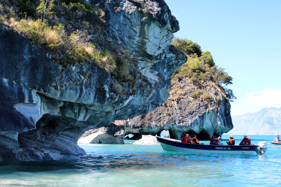
We did two passes, one through the wider “cathedral” chamber where the ceiling opens up and light pools on the water in these shifting discs, and a tighter one Lia insisted on where we had to duck under an overhang barely wide enough for the boat. I put my hand against the stone at one point, just to feel it — cool, faintly ridged, worn smooth in places by however many decades of exactly this kind of wave. The Carretera Austral runs close by, and it’s easy to see why this stretch of it has become one of the most photographed spots in Chilean Patagonia; everyone we passed on the water had a camera out, and for once I didn’t blame them.
Afterward we sat on the dock in Puerto Río Tranquilo eating empanadas that were still too hot to hold properly, watching other boats come and go, the lake doing that thing where it looks almost artificially turquoise right up until a cloud passes and it turns steel gray in seconds. I kept turning around to look at it, half expecting it to have been a trick of the light the whole time.
When to go: We went between December and February, when the lake runs clearest and bluest and the water is calm enough for a smooth, unhurried crossing — outside that window, higher or choppier water can mute the color and make the boat trip a rougher ride.
Keep exploring
More from Southern Chile
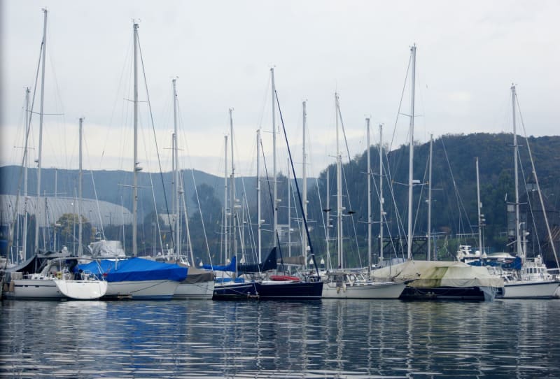 southern-chile
 Puerto Montt
The northern gateway to Patagonia — a port city that smells of smoked fish and diesel and takes pride in being the place where the road ends and the fjords begin.
Explore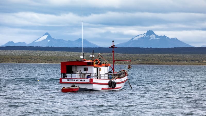 southern-chile
 Puerto Natales
A wind-scoured town at the edge of the world that exists partly to outfit hikers and partly as a reminder that Patagonia is a real place where people actually live.
Explore southern-chile
 Pumalín Park
A vast private-turned-national park of temperate rainforest, fjords, and 3,000-year-old alerce trees that a clothing magnate bought up and gave back to Chile.
Explore southern-chile
 Punta Arenas
The southernmost city in the world worth calling a city, a place that smells of sea wind and wool and feels like the frontier it technically is.
Explore southern-chile
 Queulat National Park
A hanging glacier feeding waterfalls into a turquoise lagoon, deep in the rainforest silence of the Carretera Austral.
Explore southern-chile
 Tierra del Fuego
The archipelago at the end of the continent, where channels of black water separate islands no one lives on and the wind has been practicing for a very long time.
Explore