Zuluk
"Thirty-two hairpin turns in a row. The driver counted. I stopped counting at twelve and focused on not looking down."
The road to Zuluk is the reason to come to Zuluk. Most destinations use roads as a means to an end. Zuluk uses the road as the experience itself: a series of thirty-two consecutive hairpin turns — the Zuluk zigzag — that climbs a single mountain face above the Tista Valley in East Sikkim and deposits you, eventually and breathlessly, in a high-altitude village that almost nobody in the rest of India can name.
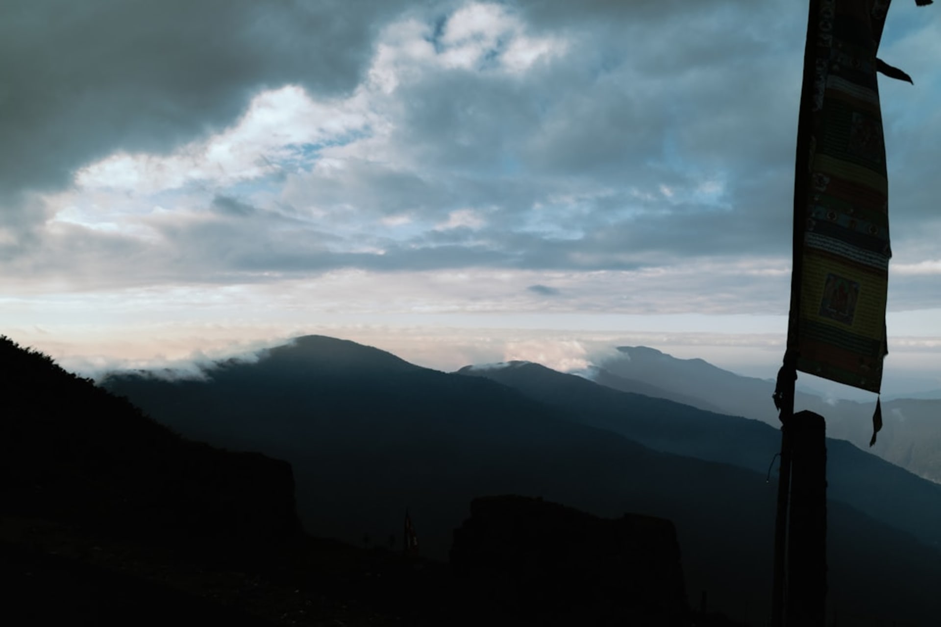
I hired a jeep from Gangtok that left at 5am to ensure we’d reach the viewpoints before the cloud came in. This was good advice. By the time we arrived at the first hairpin overlook, around 7am, the valley below was filled with white cloud and the road we’d just driven was invisible. Kangchenjunga floated above it to the northwest, disconnected from any visible ground, which seemed like a hallucination until I saw the same thing in two dozen photographs taken by people who’d been here before me.
The Old Silk Route
The road follows a section of the ancient Silk Route that connected India and Tibet through Sikkim via the Jelep La pass. The route was major commercial artery until the 1960s, when the India-China conflict closed the border and the road lost its purpose. For decades Zuluk was essentially forgotten. It reopened to Indian tourists (foreign nationals still require a Protected Area Permit and specific permissions) only in recent years.
What this history gives you is a road through forest that has had decades to recover from whatever traffic once used it. The old army bungalows along the route — built during the colonial period — have been converted into guesthouses, somewhat roughly but functionally. The stone walls along the road are original Silk Route infrastructure. The whole thing has a palimpsest quality: new tourism layered lightly over something much older.
Thambi Viewpoint
A few kilometers above Zuluk village, Thambi viewpoint offers the perspective from which the famous zigzag photographs are taken — looking back down the mountain face at the switchbacks unspooling below you into the cloud. I stood there for thirty minutes, watched the cloud fill in and withdraw twice, and took the same photograph eight times.
Beyond the aesthetic event of it, what Thambi shows you is the actual scale of the terrain you’ve traversed. The Tista Valley is nearly 2,000 meters below. The road connecting the two is a single thin line that folds back on itself with a regularity that from above seems geometric, almost intentional, the way riverbends look from planes.
Nathang Valley
Further up the road from Zuluk — another hour’s drive through landscape that becomes progressively more barren and Tibetan in character — Nathang Valley opens at around 3,800 meters. The grass here is yellow and short, the hills rounded rather than jagged, and the sky achieves a quality of blue that I associate with the Tibetan plateau more than the Himalayan ridgeline. Yaks graze on the valley floor.
Lia had wanted to see this valley specifically, and when we arrived she said, “It looks like Mongolia.” I had nothing to compare it to but I understood what she meant. There’s an openness to Nathang that the forested lower valleys don’t have — more sky, more distance, more of a sense that the landscape continues beyond what you can see.
Sleeping at Altitude
The guesthouse in Zuluk — there are a few, all modest — provides thick blankets and dinner that runs to rice, dal, and whatever vegetable the cook has that day. I asked for something local and received a plate of nettle (sisnoo) curry that was more flavorful than I expected and required no further apology for the limited menu. Breakfast at dawn, before the cloud moved in, came with a view that made the hard pillow forgivable.
When to go: October and November for clear Kangchenjunga views and the best chance of the famous cloud-below-your-feet sunrise effect. March and April for snow lingering on the high ridges while lower elevations are warming. The zigzag road can become slippery and dangerous during monsoon (June–September). Foreign nationals must book through a registered Sikkim tour operator with the appropriate permits arranged in advance.