Nathula Pass
"The sign says 'India-China Border.' Fifty meters further is Tibet. The wind doesn't care about any of it."
There is an absurdity to Nathula Pass that no amount of research quite prepares you for. After the permit process, the restricted vehicle convoy, and the two-hour drive from Tsomgo Lake along a road that narrows to a single lane blasted into the cliff face, you arrive at the top of a 4,310-meter pass and find — a gift shop. Two gift shops, actually. Indian Army bunting. A gate. And behind the gate, a Chinese soldier looking back at you from across fifty meters of no man’s land.
I stood there with my hands jammed into my pockets against a wind that came straight off the Tibetan plateau without stopping for anything, and tried to work out what I felt. The answer was mostly: cold, a little short of breath, and genuinely unsure.
The Pass and the Border
The border gate at Nathula has a peculiar ceremonial quality that neither side seems entirely comfortable with. Indian Army jawans in olive green stand at attention on their side; on the other side, Chinese soldiers in khaki watch from a distance. Foreign tourists are permitted to approach the gate and look through. You cannot photograph the Chinese side directly — the rules are enforced, politely but firmly, by the Indian soldiers, who are otherwise happy to take your phone and photograph you against the gate if you want.
The pass sits on the ancient Silk Road trading route between India and Tibet, and a bilateral trade agreement signed in 2006 reopened it to limited goods trade after being closed since 1962. The market building below the gate — largely empty when I visited — is evidence that the commerce side of things has been slower to revive than the symbolism.
The Altitude Reality
4,310 meters is high enough to make most things feel effortful. Walking from the vehicle to the gate — maybe two hundred meters — had me breathing consciously, taking steps slightly more slowly than normal. People with any cardiac or respiratory conditions should be cautious. The standard advice about altitude applies and then some: don’t rush, drink water, eat something before you go up.
The cold amplifies everything. Even in October, in full sun, the wind made the real-feel temperature something that my four layers weren’t quite handling. The vendors at the small chai stalls near the gate do excellent business in hot ginger tea, which at that elevation tasted like the best thing I’d ever consumed.
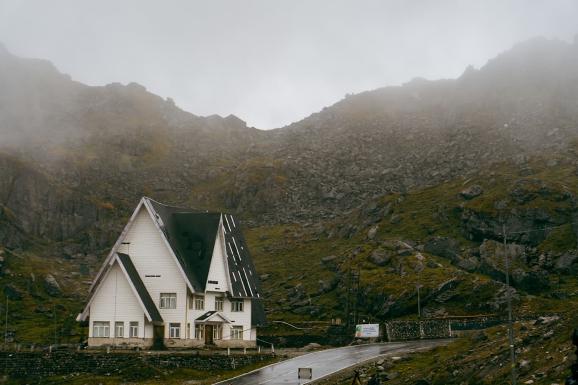
What Surrounds the Pass
The drive up from Tsomgo is, in some ways, the real reward. The road climbs through alpine meadows — called bugyals — that in spring are apparently covered in primulas and gentians. In October they were the color of old straw, the ridgelines above dusted with early snow, and the whole landscape had a stark simplicity that felt genuinely Tibetan even before the border.
There’s a small lake near the summit road, unnamed on most maps, that had partly frozen on the shaded side when I passed. The driver pointed at it without comment. It was perfect.
Permits and Practicalities
Nathula requires a Protected Area Permit specifically for the pass — separate from the general North Sikkim permit — and can only be visited as part of an organized tour from Gangtok. Indian nationals have more flexibility than foreign tourists regarding timing. Most agencies in Gangtok offer Tsomgo Lake and Nathula as a combined day trip. It’s a long day — you leave early and return exhausted — but worth doing once.
When to go: May through December is typically open for tourists, though winter snowfall can close the pass at short notice. October and November balance clear weather with snow on the high ridges for atmosphere. Avoid the monsoon period (July–September) — the road becomes unstable and visibility near the pass is usually zero.