Southeast Peninsula
"The road ends where the land ends. That's either a flaw or the entire point."
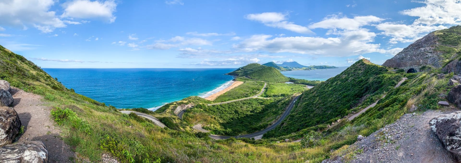
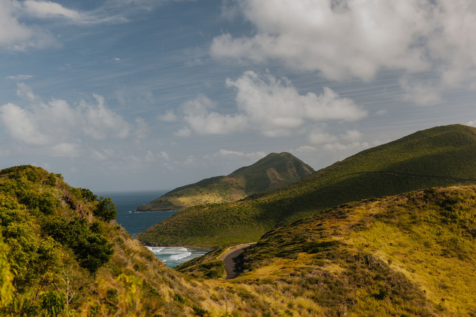
The Southeast Peninsula is reached via a road that begins with good intentions at the end of the main ring road and then slowly narrows and empties as it moves south, the traffic thinning, the vegetation on either side becoming drier and more windswept, the angle of the ridgeline above steepening. I drove it on a rented scooter because the freedom of a scooter on an empty road is one of the reliable pleasures of island travel, and because the buses do not come this way often enough to rely on.
The peninsula is essentially a series of connected hills with a narrow neck of land running between the Caribbean and the Atlantic. On the Caribbean side: calm water, pale sand, the kind of beaches that appear in travel photographs not because they have been groomed but because the light on protected turquoise water at this latitude is genuinely that color. South Friars Bay, Major’s Bay, Sand Bank Bay — each distinct, each largely empty outside of weekends when Kittitians come down with coolers and speakers and children. I preferred a weekday.
The salt ponds are the strangest part. Several large inland ponds sit between the road and the hills, and in certain lights — late afternoon particularly — the water turns a pale pink from the halophilic bacteria that colonize highly saline water. Greater flamingos occasionally visit, though I did not see any on my day there. What I did see were vervet monkeys: dozens of them, completely at ease along the roadside, sitting in small groups, picking through the scrub, watching cars with the expression of creatures that have long since decided humans are neither threatening nor useful.
On the Atlantic side, the coast is rougher — waves from the open ocean, strong currents, black rocks taking the full force of the sea. White House Bay has a snorkeling reef just offshore that I found excellent: visibility thirty meters or more, the coral in reasonable health, sergeant majors and blue tangs and a barracuda that tracked me for a few minutes with what felt like real curiosity.
The road ends where the land ends, at the southernmost tip. A small beach, the water very blue, and the sense of having arrived at the edge of something. Saint Eustatius is to the north, Nevis to the south, and beyond Nevis nothing until South America.
When to go: Year-round, but December through April for the best snorkeling visibility and the least chance of afternoon squalls. Weekdays for solitude. Bring everything you need — there are no services on the peninsula. Start early if you are on a scooter; afternoon crosswinds on the exposed sections can be strong.