Parc National du Mont-Tremblant
"Everyone drives to the village for the mountain. Almost nobody drives twenty minutes further for the actual wilderness."
Quebec's oldest and largest provincial park — 1,500 square kilometres of lakes, moose, and canoe routes that make the ski resort thirty minutes away feel like a different planet.
I made the mistake, the first time, of assuming Parc national du Mont-Tremblant was just an extension of the ski resort — more of the same, with a park sign at the entrance. It is not. This is Quebec’s oldest provincial park, established in 1894, and it covers close to 1,500 square kilometres of the actual Laurentian wilderness: over 400 lakes, dense boreal and mixed forest, and a moose population dense enough that the visitor centre hands out a small pamphlet on what to do if one wanders into your campsite. The scale of it recalibrated my sense of what “Mont-Tremblant” even meant.
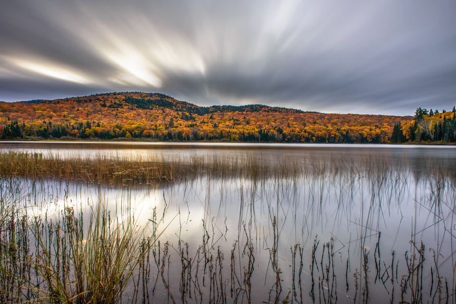
We rented a canoe at the Diable sector and spent a full day working our way along a chain of lakes connected by short portages, which is the way to actually see this park — the road network only skims the edges. Lac Monroe, the largest and most accessible lake, gets busy with day-trippers in July, but paddle even a few kilometres past the main beach and the crowds thin out fast. We saw a moose cow and calf feeding in the shallows near the eastern shore in the early evening, close enough that Lia stopped paddling entirely and just held her breath, and I understood the pamphlet’s seriousness a little better after that.
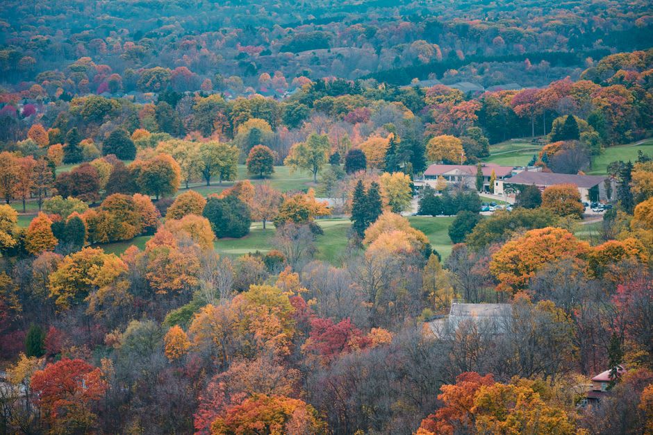
The park is split into three sectors — Diable, Pimbina, and Assomption — each with its own access road and its own character, and the Pimbina sector in particular has some of the better day-hiking, including a trail up to a lookout over La Roche that gives a proper sense of the Laurentian topography: not sharp peaks like the Alps, but a rolling, worn-down, ancient-looking landscape, rounded by glaciers and time. In October the whole park turns into one of the more serious fall colour displays in the province, rivaling Charlevoix but with a fraction of the visitors.
Camping here ranges from drive-up sites with basic services to backcountry canoe-camping sites only reachable by water, and if you want the version of the Laurentians that predates the resort economy entirely, this is where you find it — quiet, slow, governed by lake levels and animal movement rather than lift schedules.
When to go: July and August for canoe-camping and the warmest water, though book well ahead. Late September into early October for fall colour with far fewer people than the surrounding villages. Winter access is limited but cross-country ski and snowshoe trails operate in the Diable sector.
Keep exploring
More from Québec
 quebec
 Parc Oméga
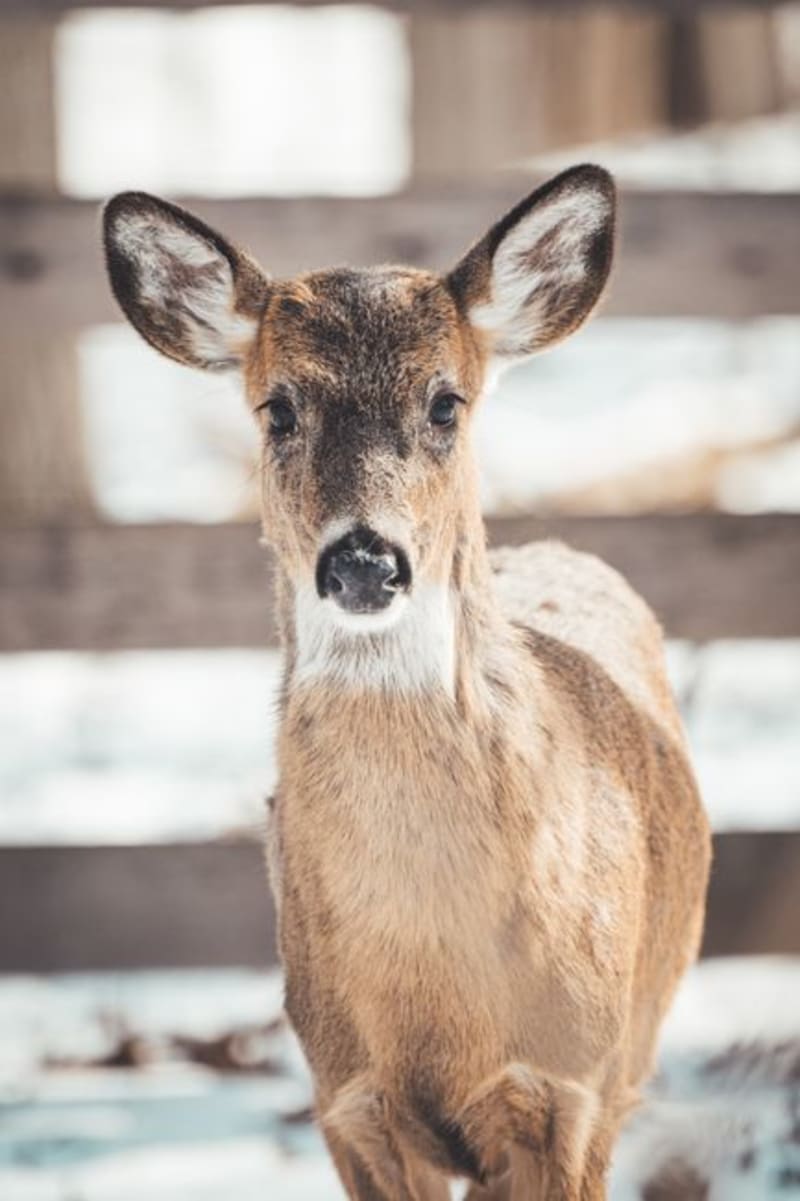
A drive-through wildlife park in the Outaouais where wolves, elk, and wild boar approach the car uninvited.
Explore quebec
 Percé Rock
A limestone monolith punched clean through by the sea — the single most photographed piece of rock in Quebec, and it earns every frame.
Explore quebec
 Péribonka
The riverside village that inspired Quebec's founding literary myth of survival on the land — now a quiet stretch of farmland, museum, and one of the great wild blueberry regions in North America.
Explore quebec
 Le P'tit Train du Nord
A 234-kilometre rail trail carved from an abandoned railway line, stringing together nearly every Laurentian village from Saint-Jérôme to Mont-Laurier.
Explore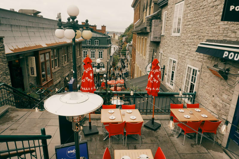 quebec
 Place Royale
The stone square where New France was born, still smelling faintly of empire and river salt.
Explore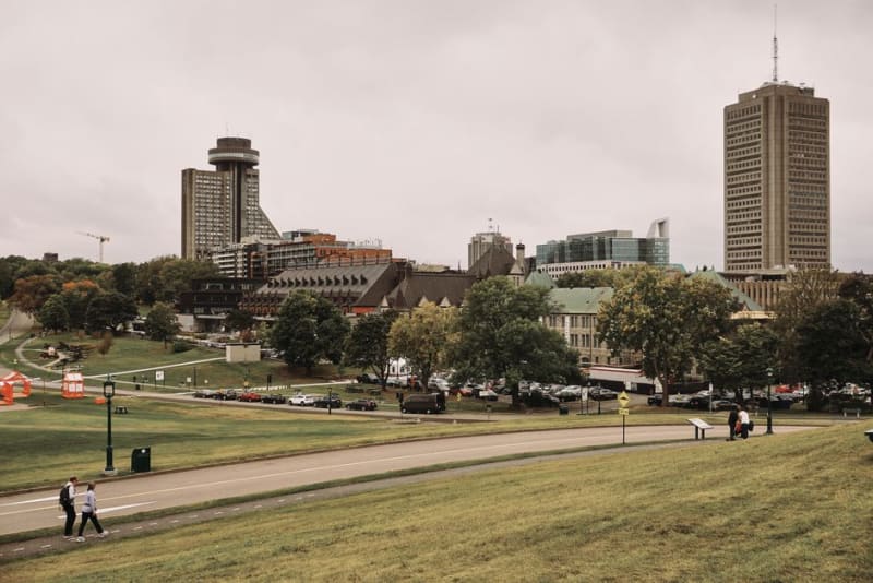 quebec
 Plains of Abraham
A rolling city park that used to be a battlefield, where the fifteen-minute fight that decided a continent's language happened on what is now everyone's favorite picnic lawn.
Explore