Kings Canyon
"When the trail runs along the rim, there's nothing between you and 270 metres of empty red air."
I remember the step at the top of the Kings Canyon heart walk where the sandstone drops away on both sides and you walk on a ridge so narrow your arms could touch the air to the left and right simultaneously. The sun was already hard at seven in the morning — I had started by headlamp to avoid the worst heat — and below me the canyon floor looked cool and green and impossibly far down. I stood there for a moment longer than necessary. The wind off the plain came in one long note.
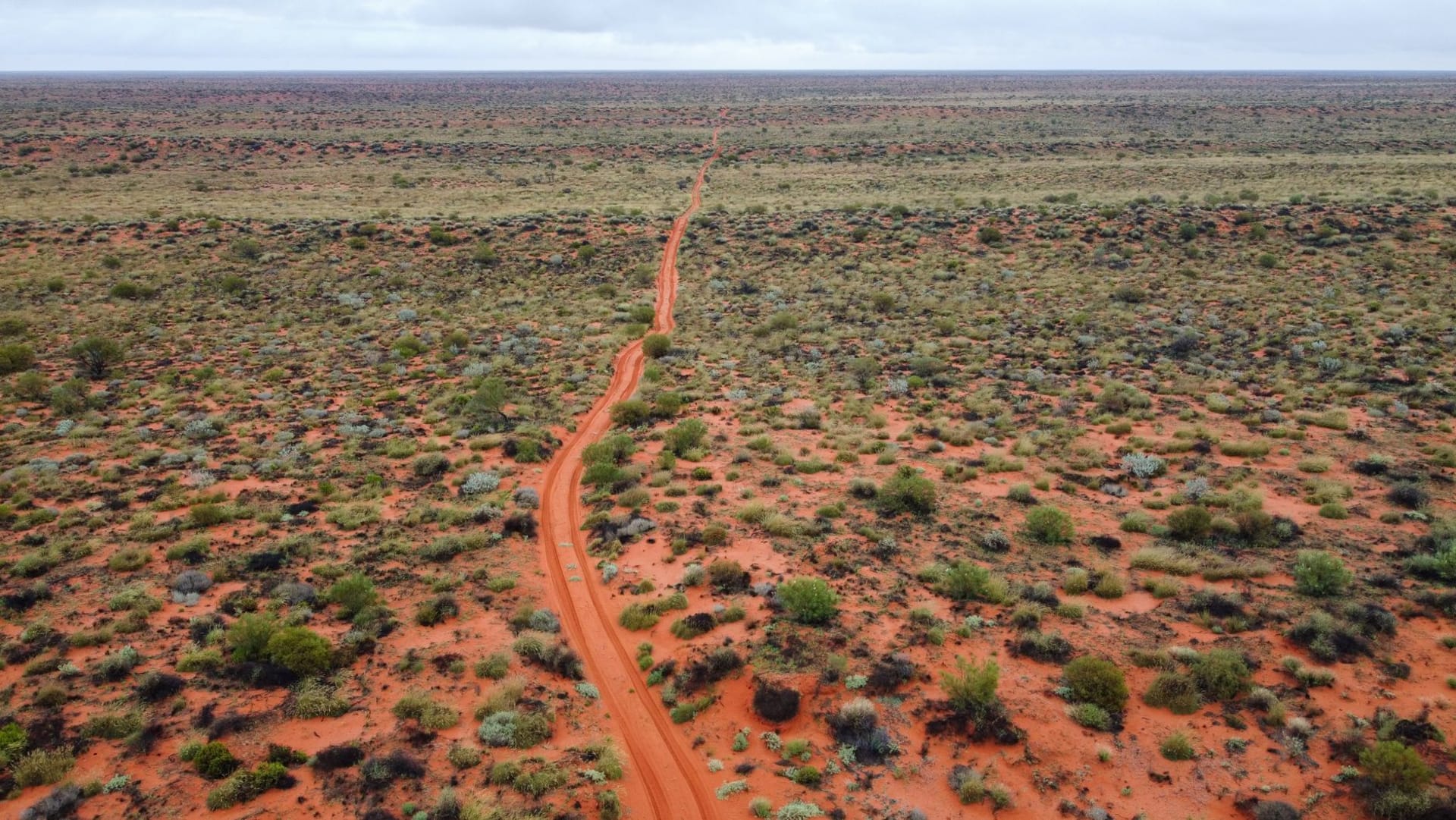
Kings Canyon sits in Watarrka National Park in the Northern Territory, about 300 kilometres southwest of Alice Springs, and it earns its position on the itinerary not through fame but through the specific quality of its light and geometry. The Rim Walk — six kilometres, 270 metres of vertical — is the experience. You start with a brutal 400-metre climb up rock-cut steps that the park service diplomatically calls a “steep climb” and which I would call an education in the gap between expectation and reality. Then the canyon opens and you stand among the Lost City: rounded sandstone domes weathered into something between architecture and nature, orange and rust and cream, some of them ten metres high, grouped in a way that suggests intention.

At the halfway point of the walk, the trail descends into the Garden of Eden — a permanent waterhole at the base of the canyon, shaded by cycad palms that have been here since the Jurassic, their silhouettes unchanged in 250 million years. The water is cool and surprisingly deep and the light that reaches the bottom comes from an angle that makes everything look slightly unreal. I sat there for half an hour and ate a mango I had kept cold in my cooler box since Alice Springs, and it was the best mango I have ever eaten, which is mostly a statement about context.
The canyon walls carry layers of geological time made visible. The Mereenie Sandstone here is 400 million years old, and the colours move through red and orange and white and back again depending on iron content, water, and the angle of light. Walking along the rim in the early hours, before the day hikers arrive, you hear the canyon rather than see it — the wind funnelling through the walls, the occasional sharp cry of a bird of prey, the sound of your own footsteps on rock that has been here since before there were vertebrates on land.

Below in the canyon, cycad palms crowd around the permanent water and the temperature drops four or five degrees compared to the rim. The route follows the canyon base before climbing back up via a staircase cut into the rock, and by the time you return to the car park, the heat has arrived properly and the memory of the waterhole you passed seems like a reasonable place to have stayed. A sign near the trailhead reads “Do not attempt this walk in temperatures above 36°C.” In summer, it is routinely 42°C by ten in the morning.
When to go: April through October is the walking season. The Rim Walk is closed when temperatures exceed 36°C — typically November through March. Start before sunrise in any season; the canyon rewards early light and punishes anyone who begins after nine in the morning in summer months.