
Ha Giang
"Ha Giang is where the road stops making sense in the best possible way."
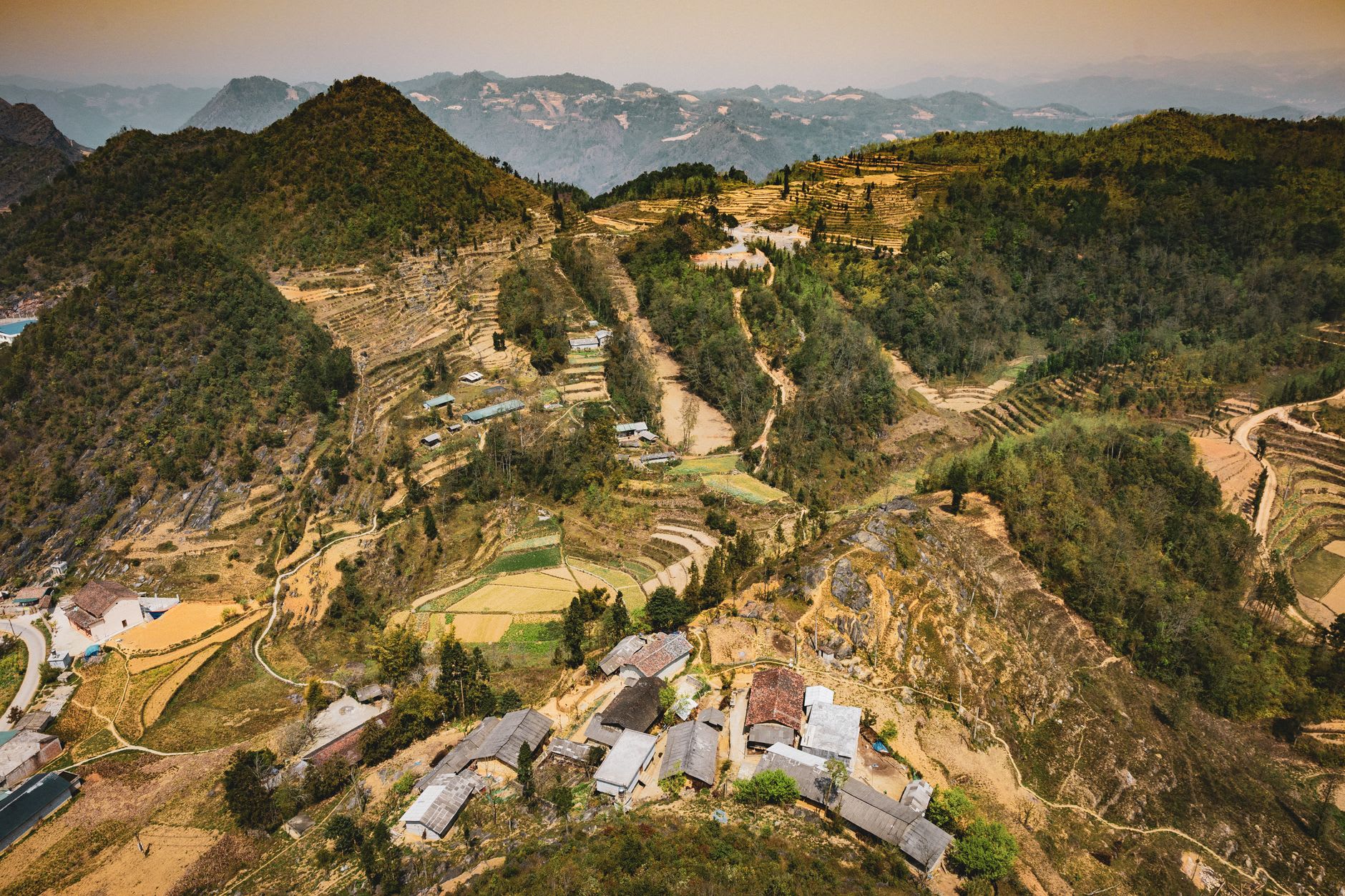
Ha Giang city doesn’t announce itself as a destination. It sits in a valley where the Lo River bends through rice paddy flatland, ringed by limestone peaks that are just the opening act for what comes next. The streets run to hardware shops, pho restaurants with plastic stools, and a central market where women sell produce from baskets and the smell of fresh coriander mixes with diesel and river mud. It is not trying to impress you. It is a city going about its business, and the business includes being the last real city for a long time if you’re heading north toward the Đồng Văn plateau.
I arrived late afternoon on a bus from Hanoi that had taken nine hours and stopped twice for reasons never explained. The guesthouse I found by walking down a side street was run by a woman who spoke enough French to negotiate the price and enough English to recommend a noodle place around the corner. The noodle place had two tables and a soup so good I ate it twice — once at seven in the evening and once at six the next morning before I picked up the motorbike. The broth was made from pork bones and star anise and something I couldn’t name that made the whole thing taste of mountain elevation, which is probably just suggestion but worked regardless.
The permitting process for the loop — you need a border zone permit to enter Ha Giang and travel north — takes about twenty minutes at the police office and involves a form, a photocopy of your passport, and a wait that is never as long as the signs suggest. The motorbike rental shops are clustered near the permit office, as if they knew. I rented a Honda Win that had seen several decades of roads and was honest about it, paid a deposit, and received a handshake and a map marked with fuel stops in red pen. The man who handed it over pointed at the map, then at the sky, then back at the map. The sky was clear. I took this as blessing.
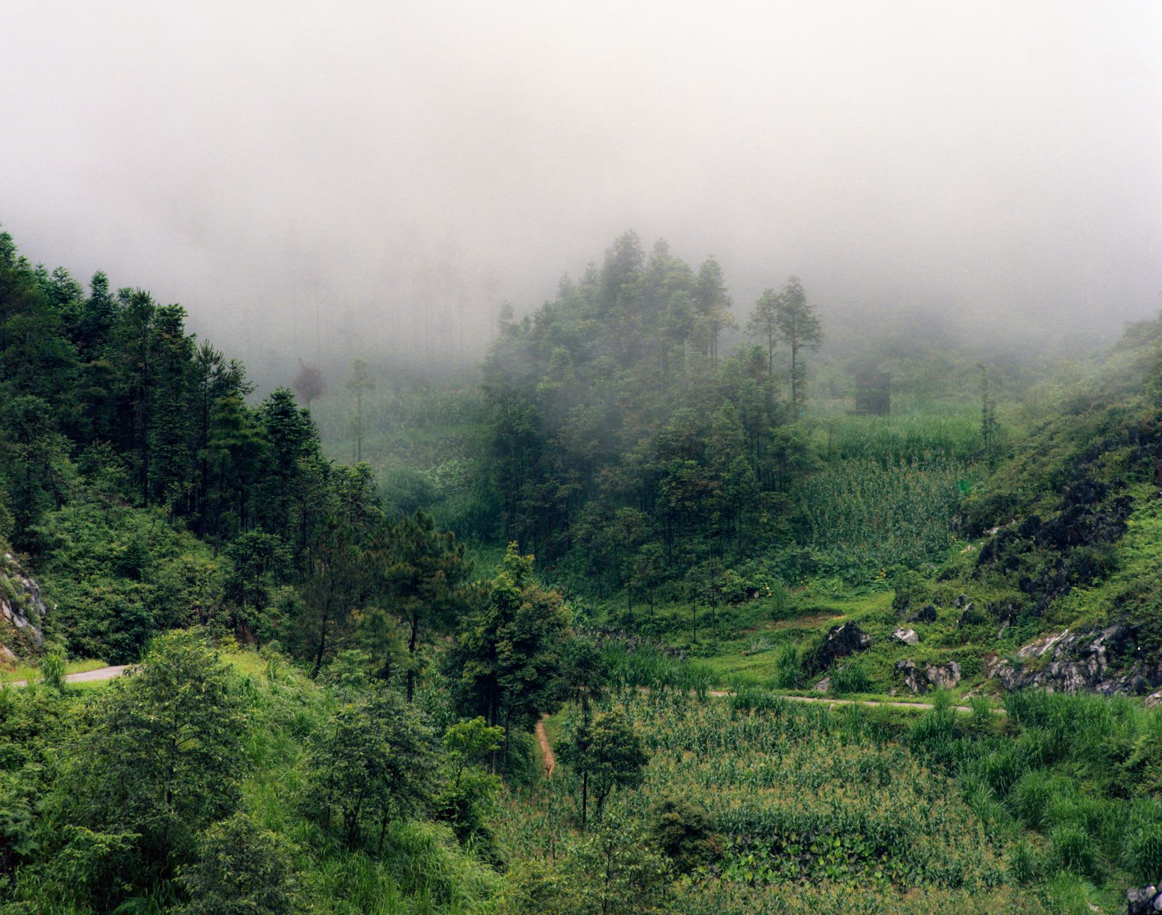
There is a version of Ha Giang that exists only on the morning you leave it: the pho shops opening their awnings at five-thirty, steam rising from broth pots, a monk crossing the bridge in saffron, the market women already walking in from the villages with full baskets. The city in that light has the slightly unreal quality of a place you know you’re about to leave behind. You eat your soup. You adjust your helmet. The road north begins at the edge of town and almost immediately starts to climb. Ha Giang stays in the valley, gets smaller in the mirror, and disappears around the first curve.
The city rewards a half-day of wandering before or after the loop. The Đồng Văn plateau museum near the market is small but serious about the geology and ethnography of the region — the karst formation models are worth the entry fee if you want to understand what you’re riding through. The afternoon market on the south bank of the river gets busier toward three o’clock when the vegetable sellers from outlying communes arrive with whatever’s in season — in autumn that’s bitter melon, purple sweet potato, and a leafy green I ate in soup for three days without ever learning its name.
When to go: September to November gives you golden light and manageable weather for the loop north. March to April is the other strong window — terraces flooding, cooler temperatures, thinner crowds. Avoid the rainy months of June through August: the roads north can wash out and the permit office will tell you conditions with a polite evasiveness that means don’t go yet.