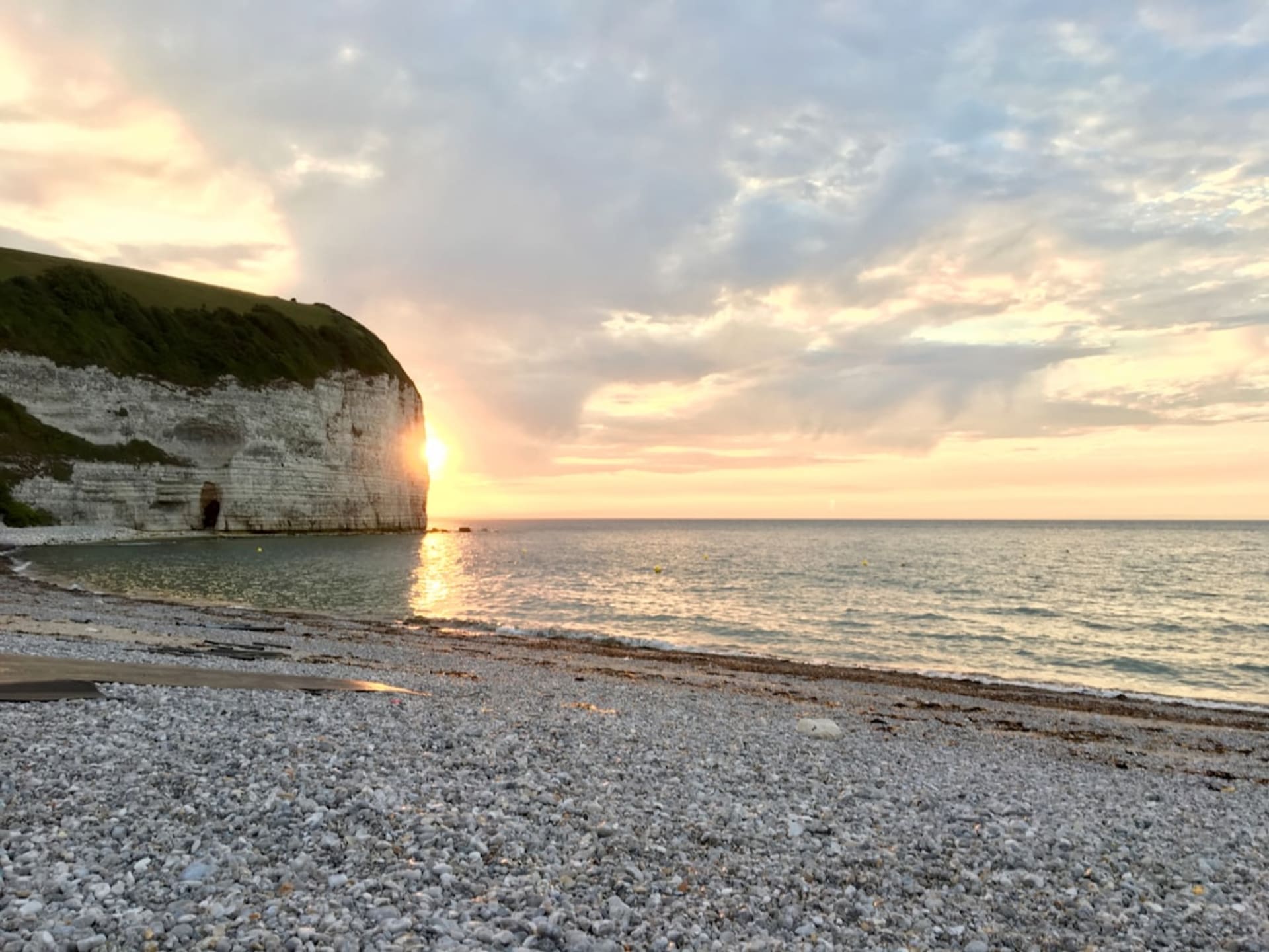
Pointe du Hoc
"I've stood on a lot of cliffs. None of them made me stop talking like this one did."
A 30-meter cliff still scarred with craters, where American Rangers climbed under fire on D-Day and where the silence today feels almost unbearable.
I didn’t expect Pointe du Hoc to hit me the way it did. Lia and I had already spent the morning at Omaha Beach, and I thought I’d used up whatever emotional reserve I had for one day. Then we walked out onto that clifftop between Utah and Omaha, and the ground itself stopped me — it isn’t flat. It’s a moonscape of craters, deep bowl-shaped depressions everywhere you look, grassed over now but unmistakably violent in shape. I remember standing at the edge of one, trying to picture what it took to drop a bomb that could do that, and further still, what it took for a soldier to climb a 30-meter cliff face directly beneath it, under fire, with the Germans looking straight down at him.
That’s exactly what happened here on the morning of June 6, 1944. The 2nd Ranger Battalion, roughly 225 men, scaled this cliff to knock out a fortified German gun battery that could have hit both landing beaches. I stood at the cliff edge — carefully, the drop is real — and just looked down at the rock face, trying to imagine doing that with rope ladders and grappling hooks while men were shooting at you from above. Out of those 225 Rangers, only about 90 were still combat-effective two days later. I said that number out loud to Lia and neither of us said anything for a while after.
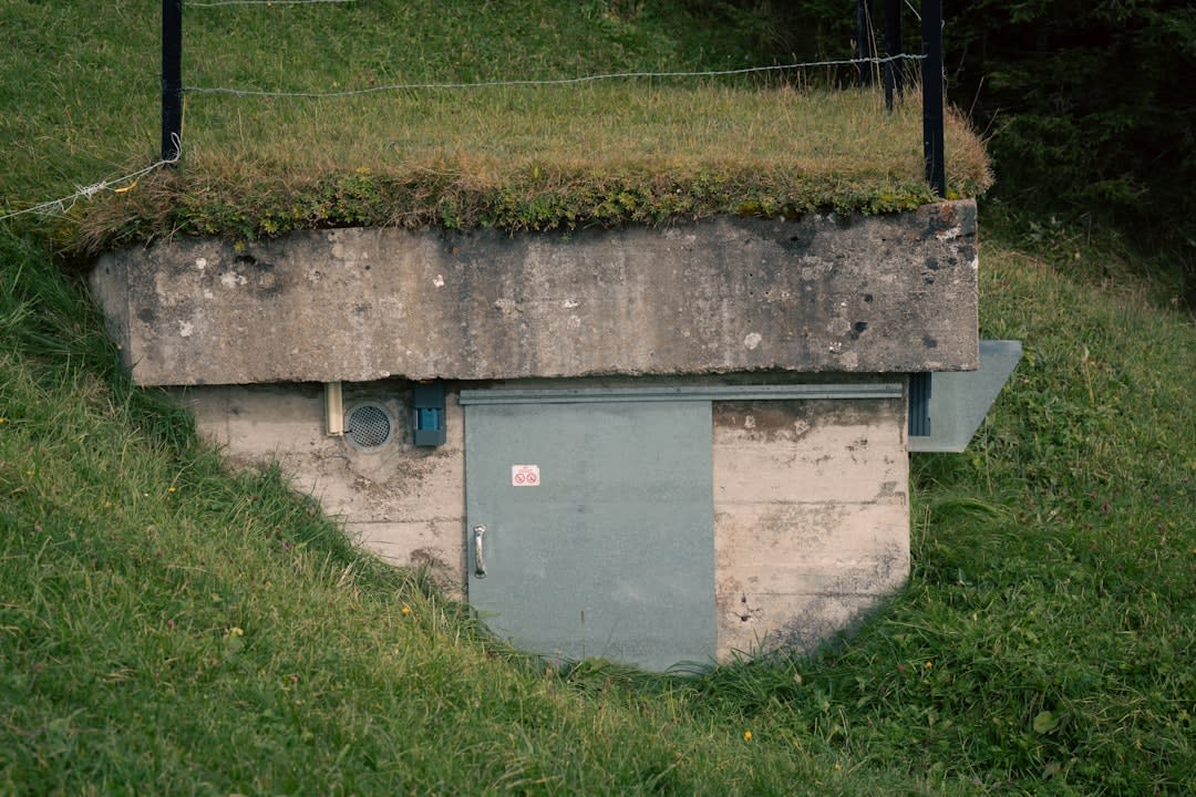
What struck me most is how little has been smoothed over. The bunkers are still here, squat concrete blocks half-sunk into the crater field, some of them open so you can walk inside and feel how cold and enclosed they are. Unlike some memorial sites that get landscaped into something tidy, this one is managed by the American Battle Monuments Commission almost as it was left — deliberately, I think, because sanitizing it would betray what happened. Lia found a plaque near one of the bunkers with a Ranger’s name on it and just stood there reading it twice. I took a photo of the craters stretching toward the sea, and even now, months later, that photo stops me every time I scroll past it.
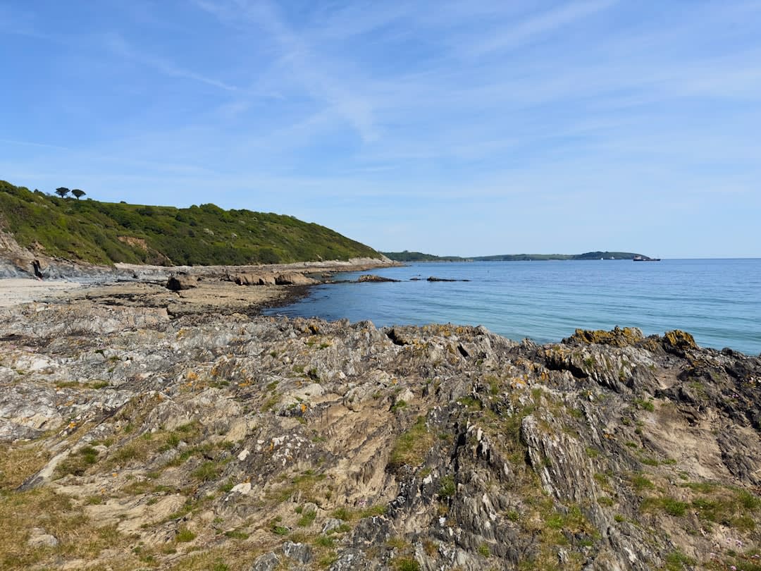
We probably spent close to two hours there, far longer than I’d planned, just walking the crater paths in silence between conversations. It’s not a place that needs much narration once you know the facts — the land does the talking.
When to go: I’d stick to spring through early autumn, roughly May to September, when the paths across the cratered ground are dry and easy to walk — this isn’t terrain you want to navigate in mud or ice, and honestly, you’ll want the extra daylight to sit with it.