Volcán Concepción
"Concepción doesn't care that you paid for a guide. It'll still make you earn every meter."
The younger, sharper half of Ometepe island, a still-active cone that punishes climbers on the way up and rewards them with a view of an entire lake on the way down.
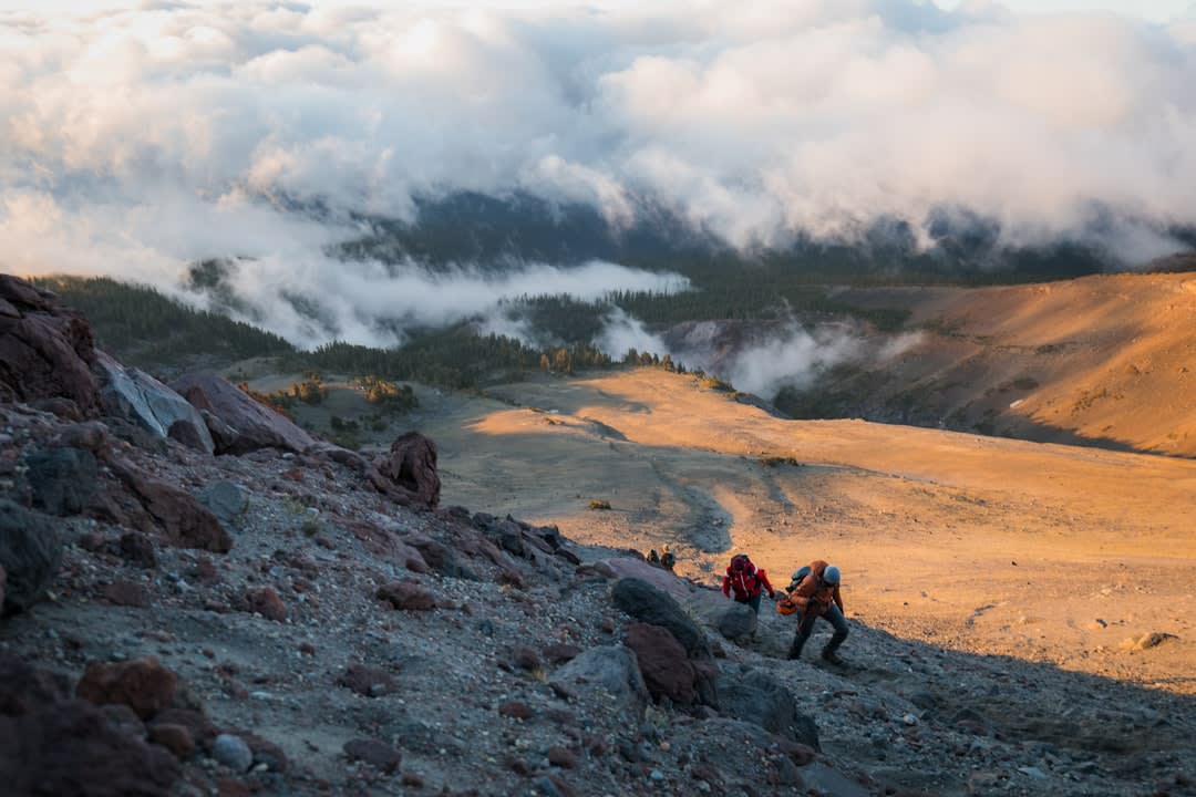
Everyone who has spent even a day on Ometepe has an opinion about Concepción, and the opinion is almost always some version of “it nearly killed me.” The volcano forms the northern half of the island — a nearly perfect cone, still active, still occasionally coughing ash onto the villages below — and it is, without exaggeration, one of the hardest day hikes in Central America. I climbed it from the village of La Concha with a guide named Bayardo who had summited more than four hundred times and still stopped to catch his breath on the steepest pitch.
Four Ecosystems in One Morning
What makes the climb so relentless is also what makes it extraordinary: you pass through four distinct zones in the space of about six hours. It starts in cultivated fields — plantain, cacao, the occasional grazing cow — then rises into dry tropical forest, then cloud forest thick enough that the trail turns to slick red mud and roots you have to grab with both hands. Above 1,300 meters, the vegetation just stops. What’s left is a moonscape of loose volcanic scree and ash, steep enough that you’re climbing on all fours, with the wind doing its best to push you back down the way you came. Bayardo told me that on a bad-visibility day the crater rim gives you nothing — just grey rock and grey cloud, and the sulfur smell as your only proof you’ve actually arrived somewhere.
The Petroglyphs Nobody Mentions
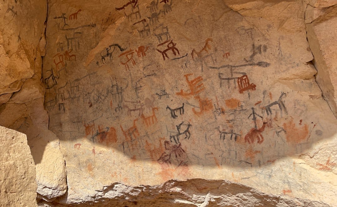
What surprised me more than the summit push was what we found on the lower slopes on the way down — a scattering of boulders carved with spirals, faces, and animal figures, left by the people who lived on this island long before the Nahuatl-speaking migrants who named it. There’s no fence, no placard, no ticket booth. Bayardo just veered off the main trail without announcement and stopped in front of a chest-high rock with a spiral etched so deep it’s survived what’s probably a thousand rainy seasons. He shrugged when I asked what it meant. Nobody really knows, he said, and somehow that felt more honest than a confident answer would have.
We never reached the true summit — cloud rolled in around 1,400 meters and Bayardo made the call to turn back, the same call he said he makes on roughly half his climbs. I wasn’t disappointed. The descent gave us something better: a sudden break in the cloud that dropped the entire silver expanse of Lake Nicaragua into view below, with Volcán Maderas visible across the isthmus, looking, from that angle, deceptively gentle.
When to go: December through April, the dry season, gives you the best odds of a clear summit — though even then, cloud can roll in by midmorning. Start before 6 a.m. and hire a local guide; the upper trail is unmarked and the volcano is still monitored for activity.
Keep exploring
More from Nicaragua
 nicaragua
 Volcán Maderas
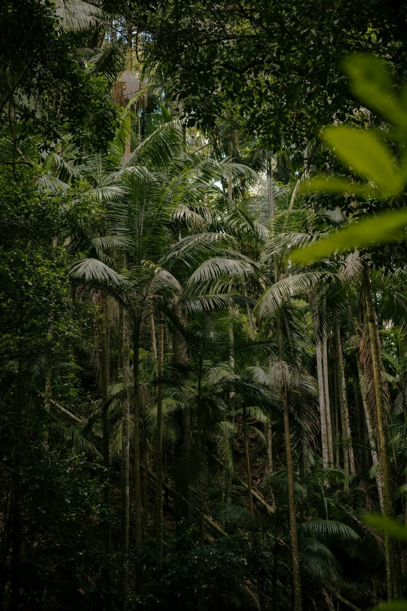
Ometepe's quieter, dormant twin — a rainforest-swallowed cone hiding a crater lagoon at its summit, waterfalls on its flanks, and howler monkeys that announce you long before you see them.
Explore nicaragua
 Volcán Mombacho
A cloud-forest volcano looming over Granada, its slopes striped with coffee plantations and threaded with canopy trails where orchids outnumber people.
Explore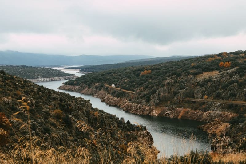 nicaragua
 Wiwilí
A frontier town split by the Coco River on the Honduran border, where smallholder cacao and coffee farms give way, just north, to the start of the rainforest.
Explore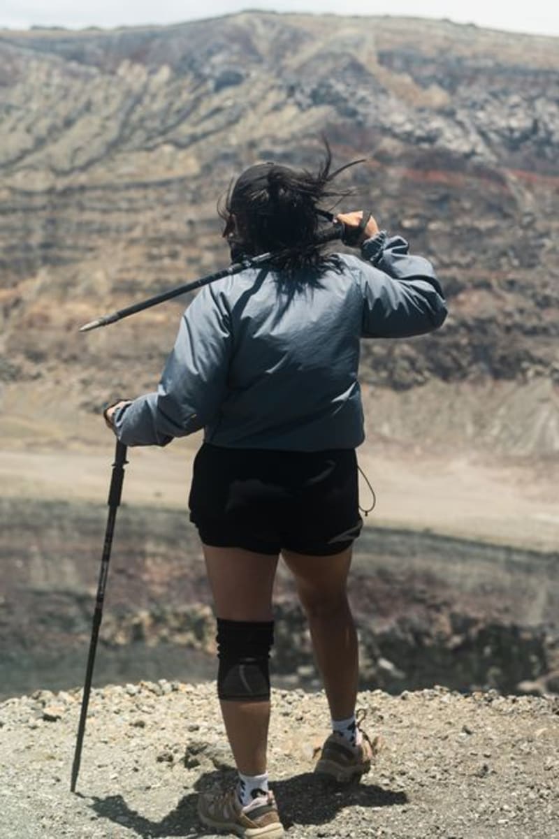 nicaragua
 Apoyeque
A near-perfect volcanic crater lake on the Chiltepe Peninsula that almost nobody visits, reachable only on foot, with two of Nicaragua's great lakes visible from its rim.
Explore nicaragua
 Corn Islands
Big Corn Island's Caribbean culture and lobster dinners reward the effort of getting to Nicaragua's forgotten coast.
Explore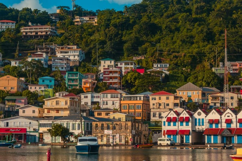 nicaragua
 Bluefields
A Caribbean port city where English and Miskito outrank Spanish, reachable only by boat or small plane, and utterly unlike anything on Nicaragua's Pacific side.
Explore