New Caledonia's highest peak, a Kanak sacred mountain wrapped in cloud forest that most visitors never even learn the name of.
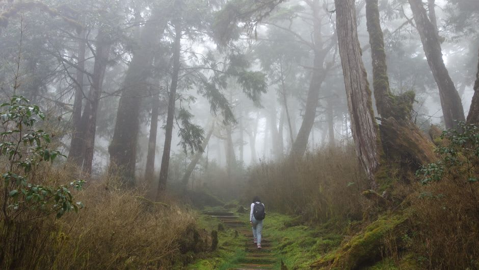
Mont Panié tops out at 1,628 metres, which does not sound like much until you are three hours into the climb through cloud forest so dense the canopy blocks out most of the sky, and you realise you have not seen another hiker since the trailhead. It is New Caledonia’s highest point, rising above the Hienghène region on the northeast coast, and it is a sacred site for the Kanak clans of the area — the summit itself is traditionally restricted, and the trek is one you undertake with a local guide and with real respect for the fact that you are a guest on land with meaning that predates any French administrative boundary by millennia.
I did the climb as a long day hike rather than the overnight version some guides offer, starting before dawn from the village of Tao at the mountain’s base. The lower slopes are agricultural — yam and taro gardens tended by the local tribe — and then the trail tips upward into genuine rainforest, thick with tree ferns and epiphytes, the air getting cooler and wetter as you climb until you are walking through actual cloud, visibility dropping to a few metres in places. The endemic flora here is remarkable even by New Caledonia’s already remarkable standards; my guide pointed out plant species that exist on this single massif and nowhere else on Earth, a level of isolation-driven evolution that is easy to state as a fact and much harder to feel until you are standing in the middle of it.
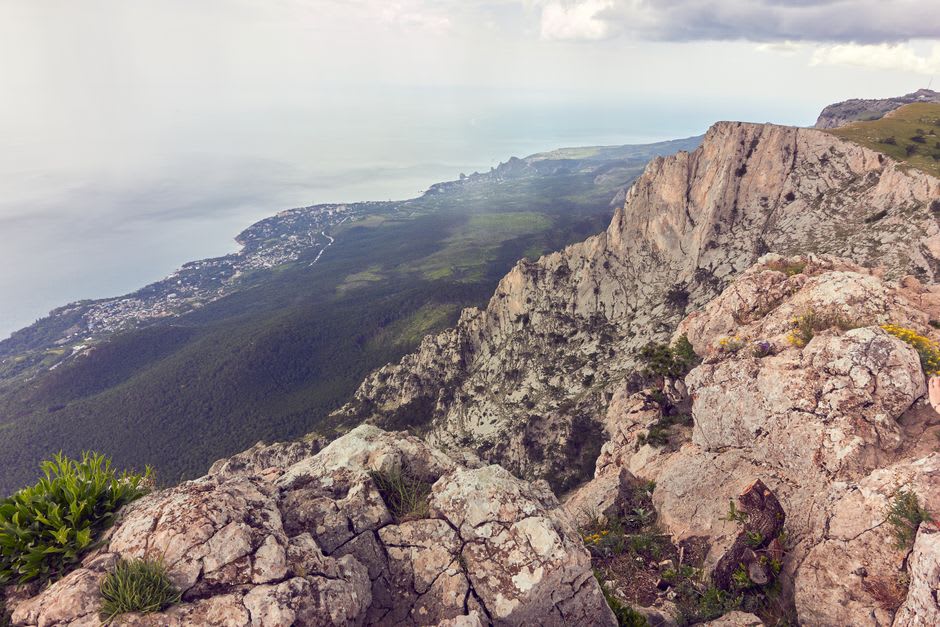
The summit ridge, when the cloud broke for the twenty minutes we were up there, gave a view that swept from the interior mountain spine of Grande Terre down to the Hienghène coast and its dark limestone cliffs, the whole panorama compressed into a window that closed again almost as quickly as it opened. My guide, who had made this climb more times than he could count, still stopped and looked at it in a way that suggested the view had not become routine for him, which told me more about the mountain than anything he said.
This is not a casual outing. Go with a certified local guide, respect any restrictions on the summit itself, and be honest with yourself about your fitness before committing to it.
When to go: April through November, the dry season, keeps the trail less slippery and gives better odds of a clear summit window. Avoid the cyclone season, December through March, entirely.
Keep exploring
More from New Caledonia
 new-caledonia
 Nouméa
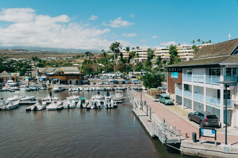
A French city dropped into the Pacific, where croissants and coconuts coexist without anyone finding it strange.
Explore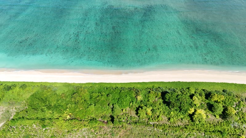 new-caledonia
 Ouvéa
A forty-kilometre crescent of white sand so remote that getting here feels like earning it.
Explore new-caledonia
 Poindimié
The east coast town locals call the garden of New Caledonia, where the rain that spoils the west coast lagoon turns everything here an almost unreasonable green.
Explore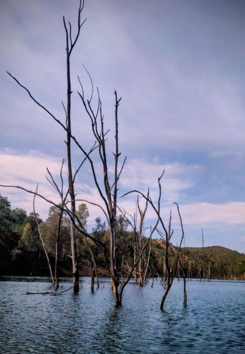 new-caledonia
 Rivière Bleue
A protected park in the far south where a flooded forest of dead giants stands in still water, and one of the rarest birds on Earth still refuses to fly.
Explore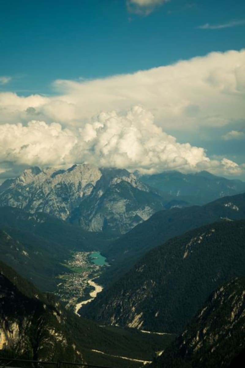 new-caledonia
 Sarraméa
A cool inland valley locals call New Caledonia's Little Switzerland, where the humidity finally breaks and the hiking starts in earnest.
Explore new-caledonia
 Thio
The east coast mining town where New Caledonia's nickel wealth started, and where the mountains still wear the red scars to prove it.
Explore