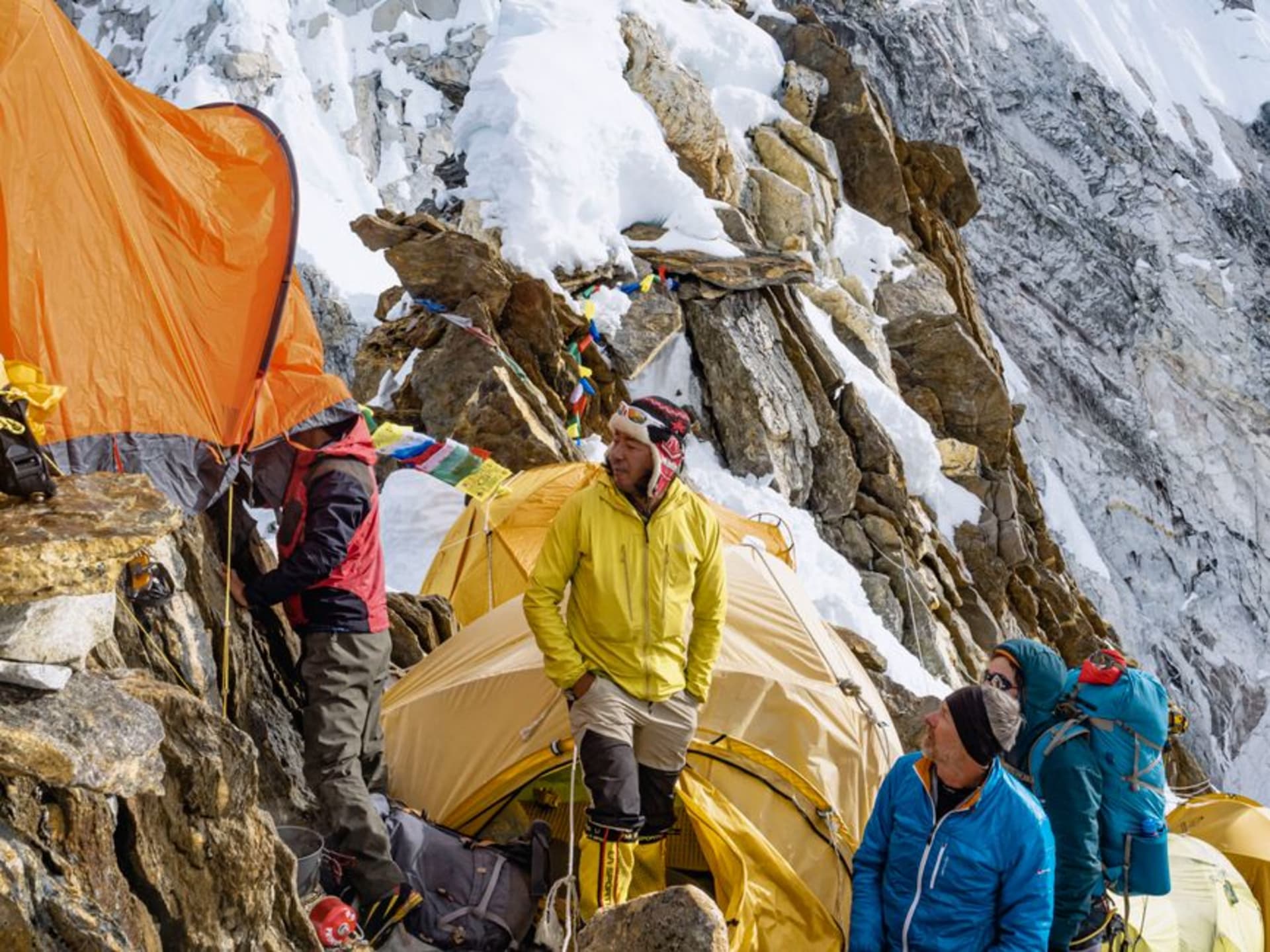
A remote three-week trek to the base of the world's third-highest mountain, through Nepal's most biodiverse and least-crowded conservation area.
I’d wanted to do the Kanchenjunga Base Camp trek for years before I actually managed it, mostly because every account I read mentioned the same thing: this is what the Everest region trails felt like before they became the Everest region. Three weeks, two base camps rather than one, a restricted area permit system that keeps numbers genuinely low, and a route that traverses some of the most ecologically varied terrain in the entire Himalayas. It delivered on all of it, and then some.
Through Five Climate Zones
Starting from Taplejung, the trail to Kanchenjunga’s twin base camps — Pangpema in the north and Oktang in the south — climbs through subtropical forest, then temperate broadleaf, then rhododendron and oak, then birch and juniper, and finally alpine scrub and glacial moraine, a full sequence of Himalayan ecosystems compressed into roughly two weeks of walking. I remember the day we crossed from dense forest, thick with the sound of unseen birds, into open alpine terrain in the space of a single afternoon — the temperature dropping, the vegetation shrinking, the world going quiet and vast all at once.
Ghunsa and the Villages That Remain
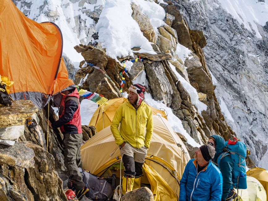
The Sherpa village of Ghunsa, roughly a week in, sits at a river confluence surrounded by prayer flags and functions as the trek’s main acclimatization stop. It has a handful of teahouses, a small monastery, and a population that has watched Kanchenjunga trekking numbers stay a fraction of what Everest or Annapurna see. A teahouse owner there told me she remembered years with fewer than a hundred foreign trekkers passing through all season — a figure that would be a single day’s arrival count at Namche Bazaar. That scarcity changes the character of the whole trek: nobody feels obligated to rush, and conversations with the people who live along the route feel unhurried in a way I hadn’t experienced elsewhere in Nepal.
Pangpema and the Wall of Kanchenjunga
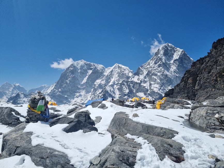
The northern base camp at Pangpema delivers the trek’s central payoff: an unobstructed view of Kanchenjunga’s massive north face, a wall of ice and rock rising nearly 4,000 vertical meters directly above the moraine camp. At 5,143 meters, the altitude bites hard, and I spent the coldest night of the entire trip there, boiling water twice just for something to hold onto. But watching alpenglow move down that north face at dawn, from orange to white to the flat grey of ordinary daylight, remains one of the two or three most striking mountain views I’ve had in ten years of traveling.
When to go: Late September through November offers the most stable weather and clearest views, coinciding with peak trekking permits. April and May bring blooming rhododendrons at lower elevations, though cloud cover increases in the afternoons. Winter closes most of the high passes; the monsoon (June–September) makes the lower trail sections a leech-ridden, socked-in slog best avoided entirely.