Plymouth
"An entire capital city, mid-sentence. The post office sign still readable above fifteen metres of ash."
I drove to the exclusion zone viewpoint late in the afternoon, when the light was going flat and the shadow of the northern hills reached toward the buried town below. There was nobody else at the fence. The sign warned of toxic gas and falling rocks, and beyond it the landscape shifted entirely — from the lush green hillside I had driven through to a flat grey plain, the colour of old concrete, from which rooftops and upper storeys emerged at intervals like half-submerged furniture. Church steeples. The outline of what had been government offices. A post office sign I stared at for a long time, its letters still legible from five hundred metres away, advertising a service that has not functioned for thirty years.
Plymouth was a working Caribbean capital until 1995. Twelve thousand people lived on this island when the Soufrière Hills volcano began its first serious rumbling in July of that year. The eruptions escalated through 1996 and 1997, and Plymouth was evacuated in stages — first precautionary, then permanent. The town was not destroyed in the dramatic cinematic sense. It was not levelled or set on fire. It was buried — smothered under pyroclastic flows and lahars that moved fast and hot and left behind a deep layer of grey material that looks from a distance like poured concrete. The buildings are still there. The streets still run in their familiar grid. Nothing has been removed. The town is just no longer accessible to the people who built it.
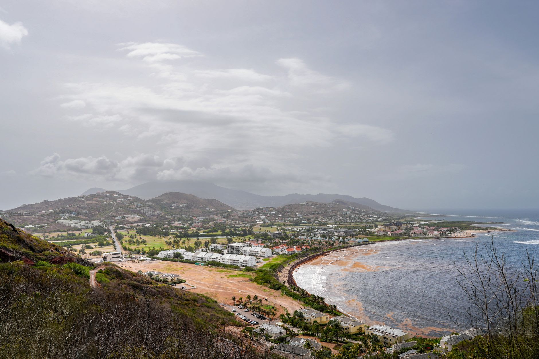
What nobody told me before I came was how green the slopes above Plymouth are now. The ash fell on everything, but thirty years is a long time in a tropical climate — on the higher ground, where the accumulation was less deep, shrubs have pushed through the grey crust and reclaimed the hillside. Hummingbirds were working the flowering stems at the exclusion zone fence while I looked down at the silent town. That contrast — vivid, indifferent life at the edge of a dead zone — is not dramatic in any photogenic sense. It is just quietly true. The volcano did not pause the island’s biology. It only paused the human occupation of one corner of it.
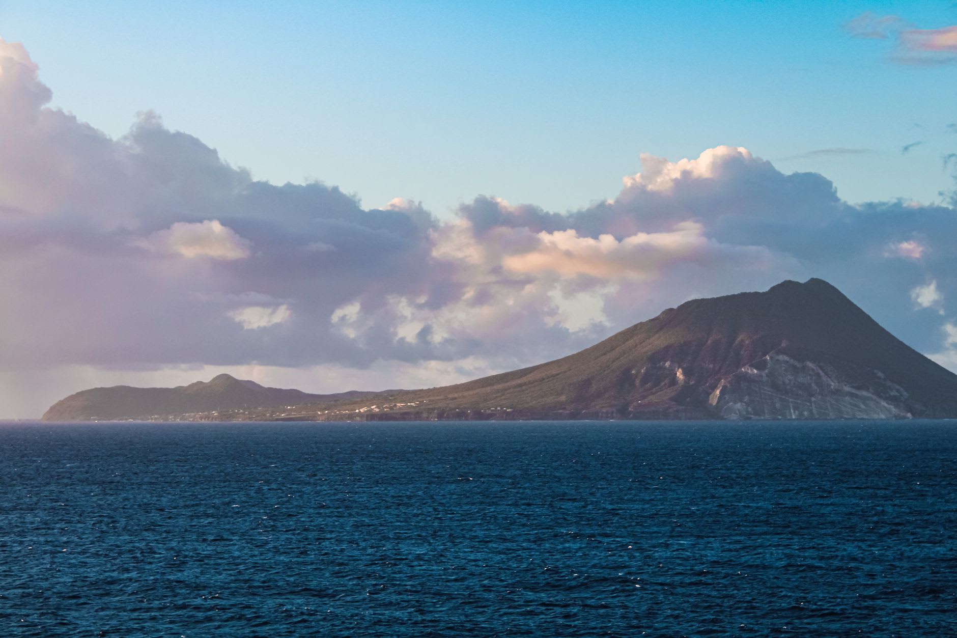
The Montserrat Volcano Observatory operates in the north of the island and has continued to monitor the dome through every cycle of activity since 1995. The scientists there talk about the volcano’s behaviour the way farmers discuss weather — with respect, without catastrophising, as something that operates on its own schedule and will not be hurried. The exclusion zone exists not as a memorial to a past event but as a live safety measure, adjusted periodically as conditions change. The south is not finished. It is just temporarily unavailable.
Entry into Plymouth itself requires special scientific permits and is restricted. You will not walk through the buried streets. The viewing points on the northern boundary of the exclusion zone — accessible, safe, and free — give you something perhaps more valuable than proximity: distance. The town at a remove, reduced to its essential outline, stripped of its daily life and yet still recognisable as a town. The familiar made foreign by one specific event, frozen in the middle of an ordinary Tuesday. That tension is what I have not been able to set down since I stood at the fence.
When to go: The exclusion zone viewpoints are accessible year-round. Visibility is clearest in the dry season (December through April), when haze is lower and the grey of Plymouth shows up sharply against the sky. Early morning or late afternoon light is best — direct midday sun flattens everything into a uniform pale wash.