Paricutín
"A stone tower in a lava field. The church was buried to its shoulders in 1944. The tower is still here. The town is not."
There is a photograph taken in 1944 of the village of San Juan Parangaricutiro as the lava was advancing. The lava front is visible in the foreground, moving slowly — lava from Paricutín moved at a pace that allowed evacuation, which is why the death toll from the eruption over nine years was three people, all killed by lightning from the eruption column rather than by the flows themselves. Behind the lava front in the photograph, the village is intact: white-plastered houses, the church tower, the ordinary density of a small Mexican town. Within months of that photograph, the entire village was gone.
The tower is still there. That is the first thing that gets you about San Juan Parangaricutiro: the tower should not still be there, and it is.
The Walk Across the Lava
You approach from Angahuan, a P’urhépecha community about five kilometers from the buried church. The walk takes about an hour each way across the lava field — black basalt, rough-surfaced and hummocked in the patterns that lava makes when it cools, with small plants beginning to colonize the cracks where wind-blown soil has accumulated over seventy years. The guides in Angahuan offer horses, which make sense on the return journey when the elevation gain becomes a factor; I walked both ways on my first visit because I wanted to move slowly and the horses were going at a pace I found difficult to think at.
The lava field is stranger than photographs suggest. It is not flat. It folds and buckles in the patterns of movement, and in certain light — the early morning light I arrived in, blue-grey and low — the surface has a quality that is difficult to name. Not beautiful in a comfortable sense. Too much death and destruction to be simply beautiful. But the scale and the completeness of it, the way the lava extends in every direction and the tower rises from the middle of it, produces something that I found myself unable to look away from for the full hour of approach.
The church itself — what remains of the nave above the lava — is accessible. You can walk inside the partial structure, the walls intact to a height of perhaps three meters, the interior filled with lava to the level of the original floor. The altar is buried. The carved stone details of the doorways are at eye level because the floor has risen to meet them. There are small devotional offerings left by visitors, and fresh flowers that someone has brought recently, and the particular quality of outdoor reverence that Mexican religious sites carry even when they are no longer functional churches.
The Volcano and What It Means
Paricutín is one of a handful of volcanoes in recorded history to have been witnessed from birth. Dionisio Pulido was plowing his field when the ground opened; he described in interviews the sound first, then smoke rising from a crack about 50 centimeters wide, then the earth rising and falling around the crack. By nightfall the cone was 10 meters high and throwing rocks and ash. By the next morning it was 50 meters. In a year it was 336 meters. By the end of its active life in 1952, it had reached 424 meters above the original ground level.
The P’urhépecha communities of the region — Paricutín and San Juan Parangaricutiro, which together had several thousand residents — were evacuated and resettled in a new town called San Juan Nuevo, about 10 kilometers away. San Juan Nuevo Parangaricutiro still exists; the displaced families and their descendants live there. The relationship to the buried original is complicated in the way that all displacement is complicated, and the offerings left at the buried church suggest that the severing was not clean.
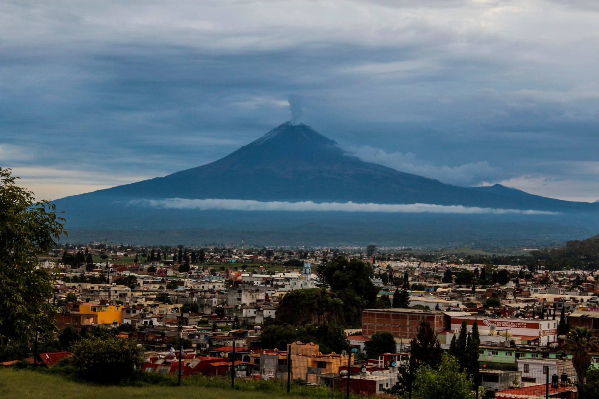
The volcano cone itself is a full day’s excursion from Angahuan — five to six hours round trip on horseback or a longer hike, up through pine forest to the crater rim. The views are substantial: the Trans-Mexican Volcanic Belt in every direction, Tancítaro to the south, the Michoacán highlands rolling west. I have done it once and found the approach through the forest as interesting as the summit.

Getting There
Angahuan is about 25 kilometers northwest of Uruapan, which is the main city of this part of Michoacán and easily reached from Morelia by bus or car. From Uruapan, combis run to Angahuan with enough regularity that the wait is rarely more than thirty minutes. In Angahuan, local guides are organized through the ejido community tourism operation at the entrance to the village; the cost for a guide and horses to the buried church is standardized and not expensive.
The buried church is accessible year-round. The volcano trek is better in the dry season — November through April — when the forest trail is firm and the summit views are more likely to be clear. Allow a full day if you’re combining the buried church and the volcano summit; they’re in different directions from Angahuan and each requires several hours. Most people choose one per visit and come back for the other, which is a reasonable approach to a place that rewards multiple visits.
Go in the morning. The light on the lava field in the first two hours after sunrise is the specific quality that justifies the early start, and the tower reads differently in that light than it does at midday.