La Encrucijada
"La Encrucijada is one of those places where the absence of roads is not an inconvenience but the entire point."
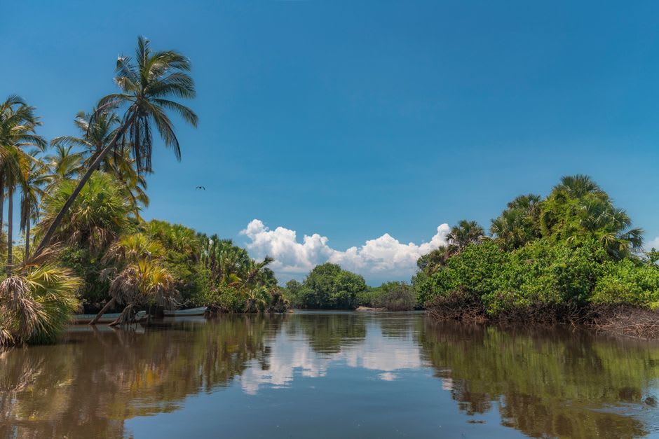
The lancha driver at the Las Garzas embarcadero had the particular patience of someone who has watched too many visitors arrive with the wrong shoes. I had managed the right ones — sandals that could get wet — but I had not accounted for the cold, which at six in the morning on that water in November is real and specific and nothing like Puerto Escondido in any season I have known. We pushed off into channels so narrow the mangrove branches closed overhead, and within three minutes of leaving the dock I understood why there are no roads into La Encrucijada. There is simply nowhere to put them.
Inside the Estuary
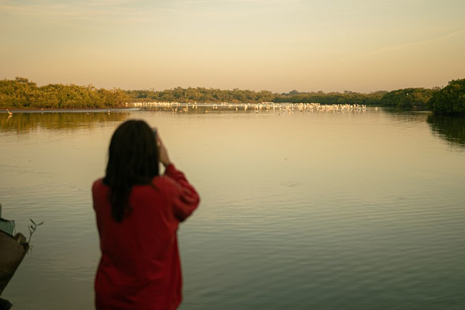
The Reserva de la Biosfera La Encrucijada covers roughly 144,000 hectares of coastal lagoons, mangrove forest, and wetlands along the Chiapas coast between Mapastepec and Pijijiapan. The numbers mean very little until you are in it. What they cannot convey is the density — the way red mangroves arch over the channels on prop roots that look architectural, the way the water shifts from brackish dark to open-lagoon green as you move between systems, the way sound behaves differently here, absorbed and muffled by vegetation on every side. My driver, a man named Ernesto who had grown up in Boca de Cielo and whose father had grown up there before him, cut the engine once without being asked and let me listen. The silence that followed was the most complete I have encountered anywhere in Mexico, and I have been looking for quiet places for four years. Nothing moved. A great blue heron stood in the shallows fifteen meters off the bow and did not acknowledge us.
The Pacific Flyway Overhead
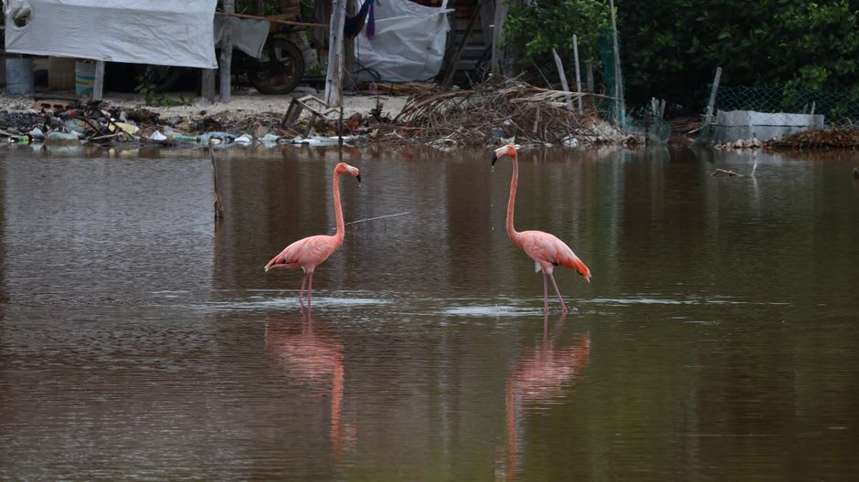
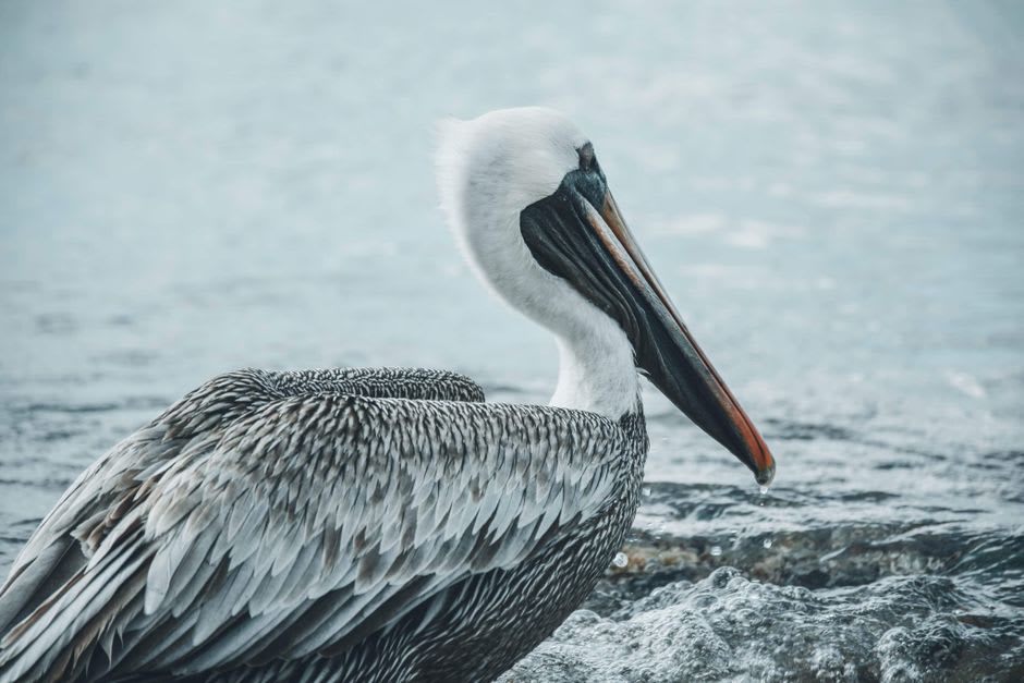
La Encrucijada sits directly on the Pacific Flyway, one of the four major migratory corridors in the Americas, and during the northern winter this translates to roseate spoonbills in numbers that seem improbable, great egrets working the shallows, frigate birds cutting overhead with their forked tails trailing, and, if you time it right, flocks of migrating shorebirds moving through the wetlands in waves that take a moment to register as birds at all. I am not a serious birder — no checklist, no scope, just a phone — but I spent two mornings on the water and logged roughly forty species without trying. A guide with real optics would do considerably better. The reserve records over three hundred species. Standing in that lancha watching a spoonbill flock bank pink against the grey morning sky, I found this entirely plausible.
Boca de Cielo
The village of Boca de Cielo sits where the lagoon system opens toward the Pacific, and the restaurant situation there is exactly what you would expect and exactly what you want: three or four palm-shaded spots on the sand, fish caught that morning, and a caldo de camarón that arrived in a clay bowl with enough depth and heat to justify the entire journey on its own. I stayed a night at one of the simple posadas along the beach — a room with a fan, a hammock on the porch, and the Pacific audible on one side with the estuary on the other. The village has no ATM and intermittent phone service, which I chose to read as the reserve making its position clear.
Getting There
The main access point is the embarcadero at Las Garzas, reachable by colectivo from Pijijiapan or by car off the Carretera Costera (MEX-200). From there, lanchas run into the reserve — negotiate directly with drivers; expect 400–600 pesos for a two- to three-hour tour depending on distance covered. Day trips from Tapachula are feasible. Overnight at Boca de Cielo to make the journey worth it.