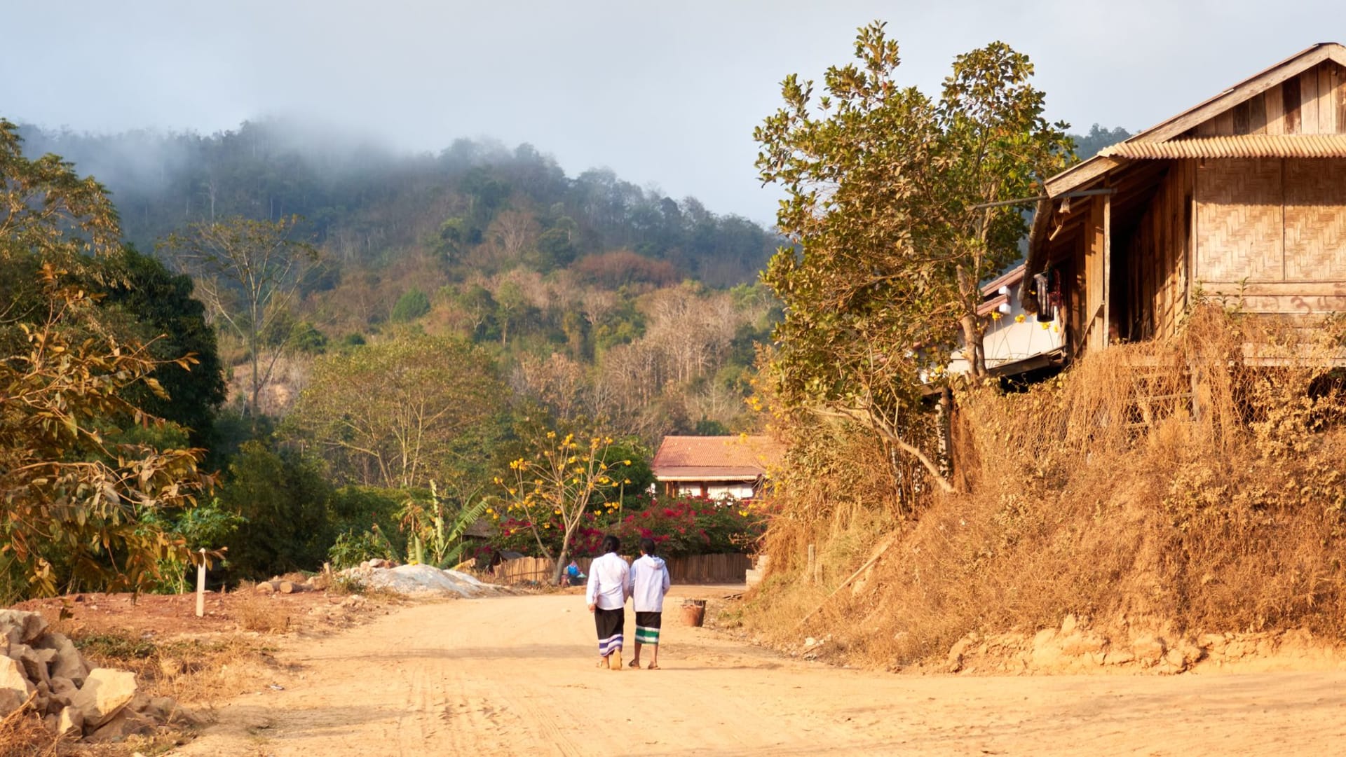
Nong Khiaw
"The cliffs don't gradually appear. They are simply there, vertical and absolute, and then you are between them."
The road from Luang Prabang takes about four hours on a minibus that follows the Nam Ou valley north. The landscape changes as you leave the Mekong basin — the river narrowing, the cliffs beginning to press closer, the paddies giving way to steeper terrain where farmers grow on any angle of hill that will hold soil. By the time the minibus drops you on the concrete bridge in Nong Khiaw, you are surrounded by limestone karst on a scale that has no proportion to anything you passed on the way in. The cliffs rise perhaps five hundred meters directly from the river’s edge. They are the vertical walls of the world and you are at the bottom.
I arrived at four in the afternoon when the sun was behind the western ridge and the cliffs on the east bank were lit from the side in a way that made every crack and overhang visible. A man was fishing from the bridge with a long cane rod, his line hanging almost straight down into the Nam Ou below. He did not look at me. The river below was the color of jade, deep and slow-looking despite the current I could see pulling at the surface. I stood on the bridge for longer than was sensible.

The village splits between two banks. The west side has most of the guesthouses and restaurants. The east side — Ban Sop Houn — is quieter, more residential, a few family guesthouses set back from the river among banana trees. I stayed on the east side at a place run by a woman named Noy, who served dinner on a wooden terrace over the water and whose or lam — the northern Lao stew made with dried buffalo meat, wood ear mushrooms, dill, and a smoke-charred chili paste — was the most complex thing I ate in Laos. It tasted like someone had been making it since childhood, which she confirmed she had been.
The trek to the 100-Waterfalls viewpoint above the eastern cliff takes about two hours each way. Go with a local guide — the path forks and the forks fork. The viewpoint itself is a cleared ledge from which the entire valley unfolds: the river a thin green thread below, the village small enough to see whole, and the cliffs stretching north until they blur into distance. I went in the morning and shared the viewpoint with a Lao couple from Vientiane on holiday. We stood in silence eating bananas from a bag one of them produced and watching the valley exist below us.
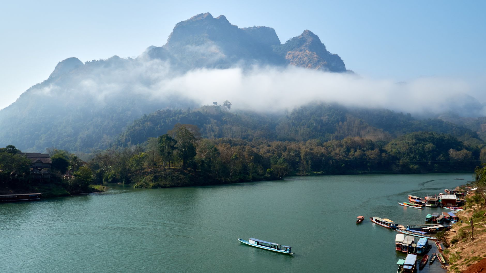
Kayaking on the Nam Ou is another rhythm entirely — lower, closer to the water, the cliffs even more overwhelming from river level. Several outfitters rent kayaks or run guided half-day trips that include lunch in a village downriver. The current does most of the paddling work going south. Going north you lean into it and realize quickly how the river must have functioned historically — upstream was hard, downstream was fast, and everything about settlement patterns along the Nam Ou reflects this.
When to go: November through February is ideal for trekking and kayaking — cool, dry, and with low enough water that the Nam Ou shows its jade colour most vividly. The rainy season (June through October) floods the lower riverbanks and makes trekking muddy but turns the surrounding jungle to an almost violent shade of green. Avoid January weekends if you can — this is when domestic Lao tourists come up from Luang Prabang in numbers.