Bold Coast & Cutler
"Standing on those cliffs, I thought: this is as far east as the continent gets. After this, it's just ocean all the way to Portugal."
The distance between Ellsworth and Cutler is not that far on a map, but the road makes it feel like a different country. You leave the tourist zone of Acadia behind, cross the Narraguagus River, pass through Machias — where the first naval battle of the American Revolution was fought, a fact that the town notes with a modest historical marker — and then you are in Washington County, which is the easternmost county in the United States and among its poorest, and which contains some of the most austere and genuinely wild landscape on the eastern seaboard. The towns here are small and quiet and mostly blueberry country in the interior. The coast is something else entirely.
The Bold Coast is the name given to the section of shoreline running roughly from Cutler to West Quoddy Head — the easternmost point in the contiguous United States — and the defining quality of it is vertical. Where most of Maine’s coast is a horizontal thing, ledges running down to the water in steps, the Bold Coast rises into cliffs of dark basalt and metamorphic rock that drop straight into the Atlantic from heights of one to two hundred feet. The Bold Coast Trail runs for twelve miles round-trip from the trailhead near Cutler through spruce forest and along the cliff edge, with views that stop being representable in photographs about three minutes in and stay that way.

I came on a day when the fog was in — offshore at a mile or so, sitting on the water in a dense gray wall while the coastline itself stayed clear. The effect was to close off the horizon and focus everything on the immediate: the cliff edge, the dark water directly below, the waves running up into the clefts in the rock and exploding upward with a sound like something structural giving way. Grand Manan Island, the large Canadian island that lies a few miles offshore, was entirely invisible. It was like standing on the edge of a world that had simply not finished being made.
The harbor at Cutler — a small, nearly circular bay formed by a gap in the cliffs — is one of those places that holds a disproportionate amount of quiet. There is a general store that sells sandwiches. There is a lobster pound. There are perhaps two dozen houses. In high summer there might be other hikers’ cars at the Bold Coast trailhead, but the trail itself extends past any casual walker inside of twenty minutes, and once you are past the first viewpoint you are generally alone. I walked to the farthest headland on the trail and sat for half an hour on a flat piece of rock above the surf, eating a sandwich and watching something — a common eider, I think — work its way through the swells below. There was no sound except the sea and the wind and the birds.

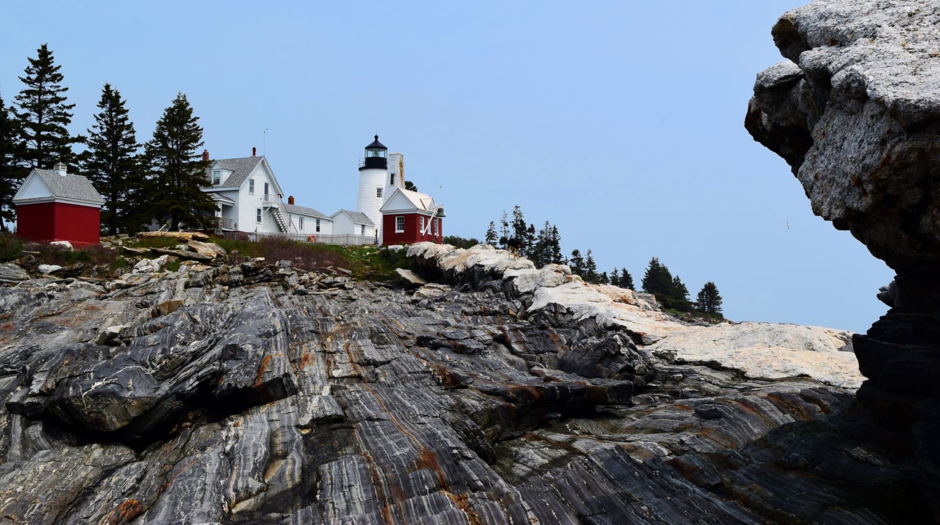
West Quoddy Head State Park, further east, is worth the additional drive. The lighthouse there — striped red and white, built in 1858, the easternmost lighthouse in the country — watches over the waters where the Bay of Fundy meets the Gulf of Maine, where the tidal range reaches nearly twenty feet and the current between the cliffs and the offshore ledges runs with visible force. Canada is close enough that on a clear day the Grand Manan cliffs are distinct across the water. You are, by any accounting, as far from the American interior as it is possible to be and still have American ground under your feet.
When to go: Late June through mid-September for the trail, when the path is dry and the days are long. July fog is common and atmospheric rather than obstructive — it usually burns off by noon and comes back in the afternoon. Bring layers even in summer; the wind on those cliffs is cold and serious regardless of the calendar.