Ankarana Reserve
"The cave smelled of ammonia and bat—deeply, specifically, in a way that colonized my sinuses for the rest of the afternoon."
Ankarana doesn’t announce itself. You’re driving north from Diego Suarez on a highway that runs through dry savanna and scattered villages, and then there’s a turning, a dirt track, a forest that closes around you, and suddenly the massif appears above the tree line: a grey serrated wall of limestone that looks like something assembled from broken crockery on a geological scale.
The Ankarana Reserve covers about 182 square kilometers of what geologists call a karst massif—limestone dissolved and re-shaped by underground water over millions of years, emerging as a system of canyons, caves, underground rivers, and the sharp-pinnacled formations that Malagasy call tsingy. These are smaller-scale and more accessible than the great tsingy of Bemaraha to the south, which makes Ankarana something between a preview and its own distinct experience.
The Cave System
The caves are the part that stays with you. Some are enormous—vaulted chambers where Malagasy royalty once took refuge and where the dead were traditionally interred, which gives them a sacred status that the reserve management takes seriously. You visit some caves freely; others require a local guide specifically authorized to enter them. The crocodile caves are in the latter category.
Yes, crocodile caves. Nile crocodiles inhabit several of Ankarana’s underground pools, fed by fish and whatever else enters. They’re smaller than their riverside cousins, which may be an adaptation to the enclosed environment, or may be something I’m telling myself to feel better about the confined spaces. The guides navigate by headlamp and know where to step. I followed exactly and tried not to think too hard about what was under the water’s surface two meters to my left.
The bat caves are less conceptually alarming and more immediately overwhelming—the smell hits first, then the sound, then the sheer density of roosting animals overhead. Millions of bats. The floor moves, slightly, with insects and accumulated guano. It is spectacular and deeply unpleasant in a way I found oddly satisfying.
Above Ground
On the massif’s surface, the tsingy formations create a landscape that rewards slow movement. The limestone is genuine razor-edge—you wear gloves and watch your footing and the guides laugh, not unkindly, when tourists overestimate their trail experience. The canyons between formations host dry deciduous forest that Madagascar’s northwest is famous for: trees that lose their leaves in the dry season, revealing shapes that are almost architectural.
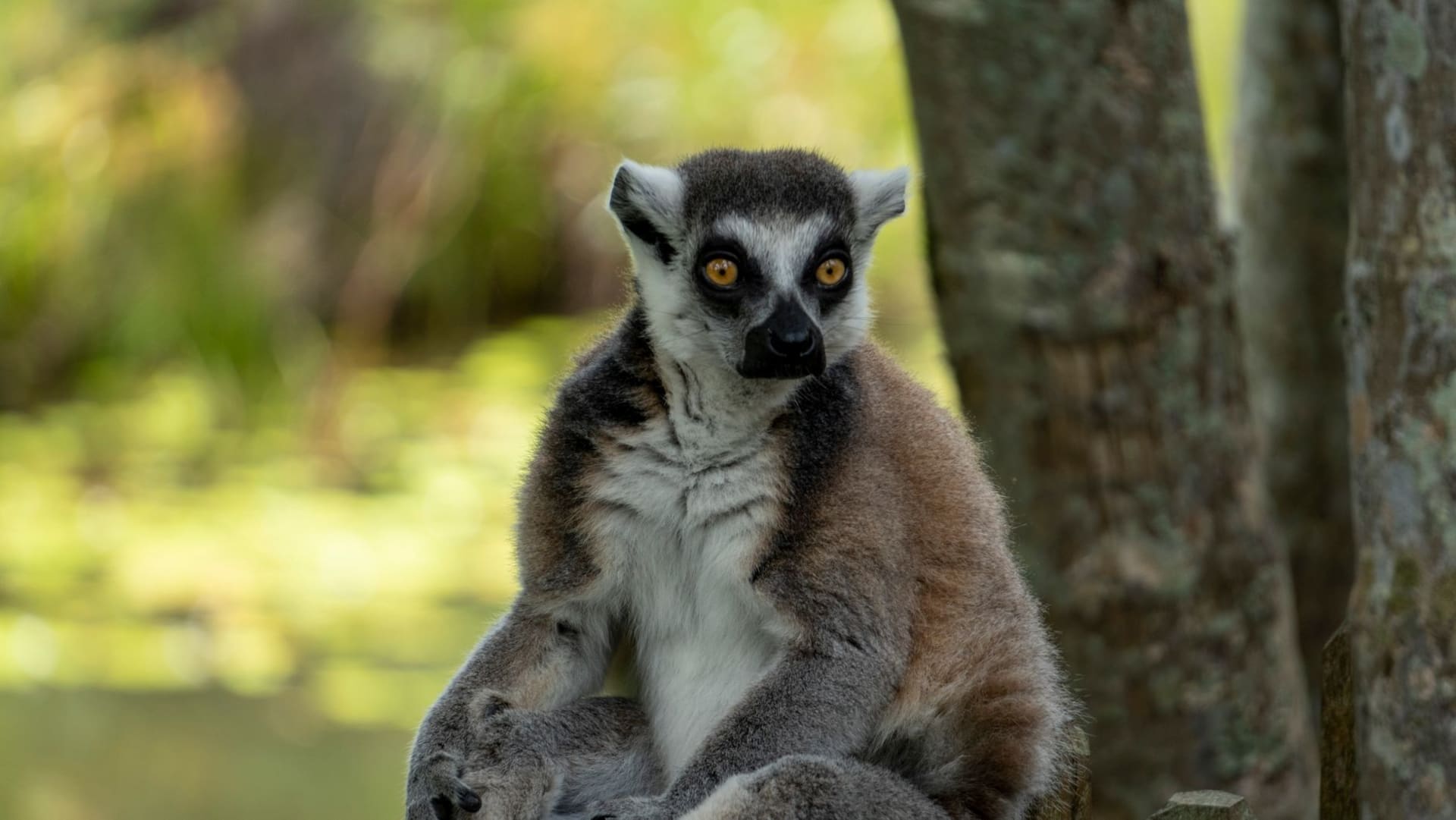
Crown lemurs and Sanford’s brown lemurs are common here—more skittish than their eastern rainforest counterparts, adapted to a drier and more open environment. I saw a family of crowned lemurs in a canyon fig tree at close enough range that I could see their orange foreheads clearly. The males have a small russet mohawk of color that looks slightly ridiculous and completely works.
The Northern Context
Ankarana is best combined with Diego Suarez (Antsiranana) to the north—a port city with excellent seafood, a colonial grid, and access to the dramatic Cape Amber at Madagascar’s northern tip. The combination gives you coast and interior in a loop that doesn’t require backtracking.
The town of Mahamasina near the reserve entrance has basic accommodation; better options exist at a couple of tented lodges inside or at the reserve boundary. Book ahead in high season.
When to go: May through October is the dry season and the only practical time to explore the caves and tsingy safely. The rainy season (November through April) floods several cave sections and makes trails treacherous. September and October are warm and dry with excellent wildlife visibility.