
Shira Plateau
"Up on Shira, the sky is so wide that even the mountain doesn't seem big enough to contain it."
The Lemosho route enters Kilimanjaro from the west, and the approach to the Shira Plateau is the longest uninterrupted climb I have ever done through a single ecosystem. You start in montane forest where the air is humid and the trees are draped in lichen and the bird noise is constant and layered. Then the forest gives way to heathland and the heather shrubs grow taller than your head and the birdsong becomes more scattered. Then, at around 3,500 metres, the vegetation changes so completely it feels like stepping through a threshold. The heather stops. The ground opens. And you are on Shira.
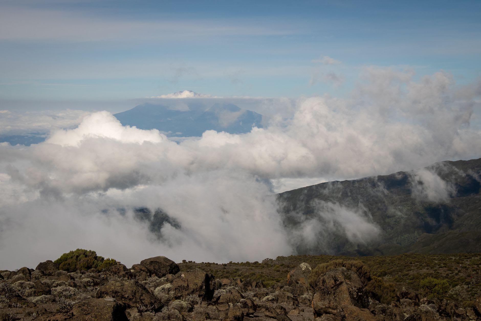
The plateau is a collapsed caldera — the remnant of what was once the highest of Kilimanjaro’s three volcanic cones, which collapsed inward before the main summit formed. What remains is a wide, gently rolling moorland at around 3,800 metres, roughly fifteen kilometres across, with the summit cone rising from its eastern edge and the rift valley escarpment visible in the distance to the west on clear days. The scale of it is difficult to hold in the mind. You walk for two hours and you are still on the plateau. The sky above you is enormous in the way that sky at altitude always is, but on Shira it is genuinely immense — a full hemisphere with nothing taller than the strange plants around you to interrupt it.

The plants are the thing I had not properly prepared for. Senecio kilimanjari — the giant groundsel — grows to five metres here, a plant that looks like it was designed by someone who had heard of plants but had never seen one. The trunk is a column of dead leaves surrounding a living core, topped by a tight rosette of thick, waxy foliage that folds closed at night to protect itself from frost. Lobelia deckenii grows nearby in tall towers of purple-blue flowers, five metres of botanical ambition at an altitude where most plants give up. These plants exist in this form here and on a handful of other East African volcanic peaks, nowhere else on earth, which gives the plateau a quality that landscape architects would kill to reproduce and cannot.
I camped on the plateau on the second night of my Lemosho route attempt. The temperature dropped to below zero after dark and the stars came out in a density I associate with the desert — hundreds of thousands of them, the Milky Way a solid band rather than a suggestion, the satellite crossings visible against it like slow sparks. I slept badly because of the altitude and lay awake for an hour listening to the extraordinary silence, which was not actually silence but the absence of human noise: wind in the senecio leaves, the occasional far creak of something settling in the cold, my own pulse making its presence known in the quiet.
The plateau is accessible without climbing — the Shira Gate on Kilimanjaro’s western side allows vehicle access to around 3,600 metres, and a half-day walk from there reaches the main plateau area. It is rarely crowded because most people arrive at Shira mid-route and move through rather than stopping to take in what it is. What it is, specifically, is one of the strangest landscapes in Africa — a high-altitude world that operates by completely different biological rules than anything below it, requiring no summit attempt to justify the journey.
When to go: The Shira Plateau is at its best during the dry season months of June through October and January through March. In the wet season, cloud sits low over the plateau for days at a time and the moorland trails become waterlogged. The Shira Gate road is accessible by 4x4 in dry conditions; check road state before attempting the western approach in or after the rains.