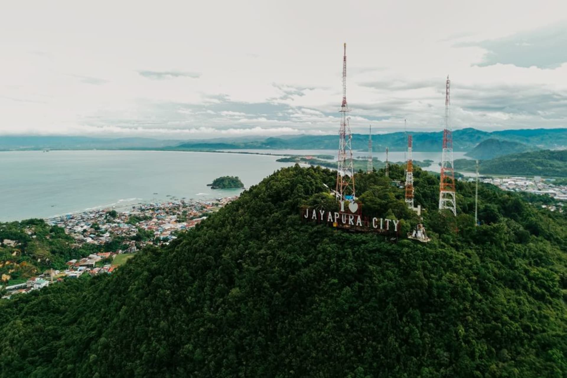
A hillside city wrapped around a bay so blue it looks retouched, and the gateway to a Papua that has almost nothing in common with the Indonesia most travelers picture.
Landing in Jayapura after a long flight from anywhere else in Indonesia does something disorienting to your sense of the country. The archipelago stretches so far — over 5,000 kilometers from Sumatra’s western tip to Papua’s eastern border — that Jayapura sits closer to the time zones and coastlines of the Pacific than to Jakarta, and the city announces that difference immediately. The faces are Melanesian, not Malay or Javanese. The hills that ring Yos Sudarso Bay are steep and jungled in a way that recalls Vanuatu or the Solomon Islands more than Bali. And the bay itself, the reason the Dutch chose this spot in 1910 for what they called Hollandia, is a genuinely stunning natural harbor — a deep blue inlet framed by green ridgelines, houses stacked up the hillsides in bright patchwork, fishing canoes cutting wakes across water that stays calm even when the open Pacific beyond doesn’t.
The city’s name has changed with its politics more than most places I’ve visited — Hollandia under the Dutch, briefly Kotabaru and then Sukarnopura after Indonesia’s contested annexation of Dutch New Guinea in the 1960s, and Jayapura since 1968. That history sits close to the surface here in ways a visitor notices even without seeking it out: the presence of Indonesian military and administration is heavier than almost anywhere else in the country, a legacy of the decades-long, still-unresolved Papuan independence movement. It’s worth knowing before you arrive, not because it makes the city unsafe for a respectful visitor, but because Jayapura is a place where you’re a guest in a genuinely contested political landscape, and it colors conversations if you have them.
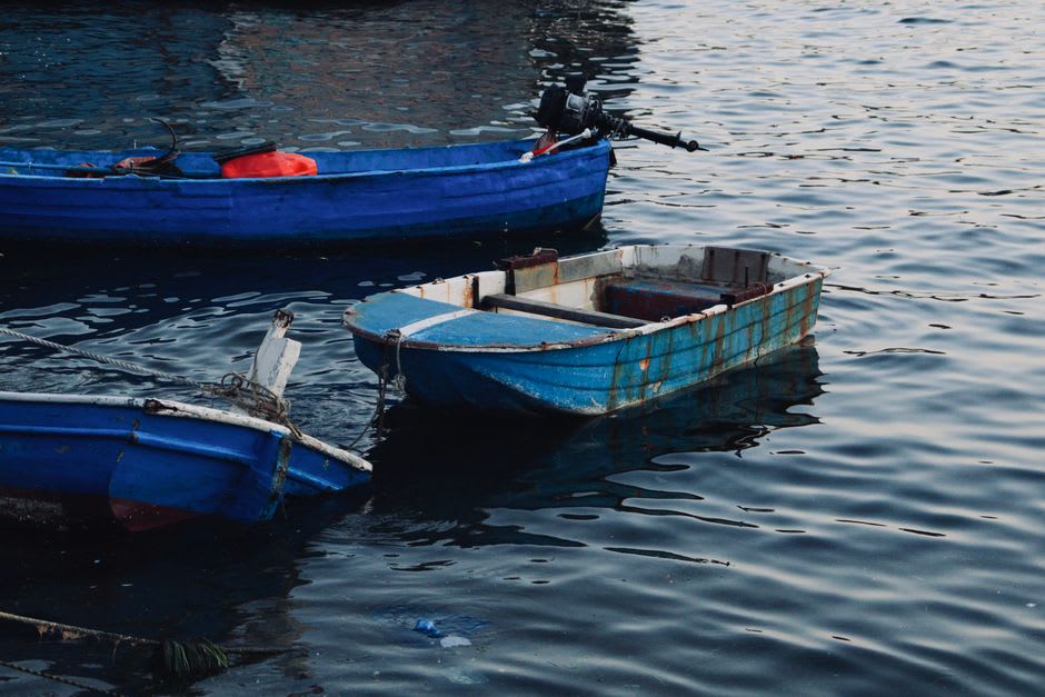
Lake Sentani and the road out of town
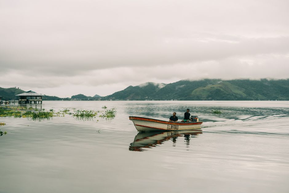
The real reason to base yourself in Jayapura, beyond the city itself, is what’s within reach of it. Lake Sentani, a large freshwater lake ringed by stilt villages about a forty-minute drive from downtown, is one of the most photogenic places in eastern Indonesia and hosts the Sentani Lake Festival each June, when villages from around the lake compete in traditional dance, war-canoe races, and displays of bark-cloth painting on the lake’s floating stages. I visited outside festival season and still found the villages — Asei Island especially, known for its bark-painting tradition — worth the boat trip out, with weavers and painters happy to explain techniques passed down within specific clans. The Cyclops Mountains rise directly behind Sentani, a nature reserve holding species found almost nowhere else, including birds-of-paradise if you’re patient and lucky with a guide.
Jayapura itself rewards a slow wander more than a checklist. The old Dutch colonial buildings near the port, weathered but intact, hint at the Hollandia era; the markets sell produce and seafood that reflect a genuinely different food culture than western Indonesia — sago in place of rice as a staple in many households, freshwater fish from Sentani, and a strong Melanesian influence on flavor that owes more to Papua New Guinea, just across the nearby border, than to Java. For most travelers, Jayapura functions as the logistical gateway to Papua’s more remote interior — flights into the highlands, permits, and supplies all route through here — but treating it as a mere layover misses a city and a bay genuinely worth two or three days on their own terms.
When to go: May to October is the drier season and the better window for both the city and Sentani excursions; if you can align a visit with the June Sentani Lake Festival, it’s worth planning around.