
Isla del Tigre
"Most people forget Honduras even touches the Pacific. Isla del Tigre is the reminder."
A volcanic island in the Gulf of Fonseca where Honduras's Pacific coast quietly exists, black sand beaches ringing a cone with three countries' volcanoes visible from the summit.
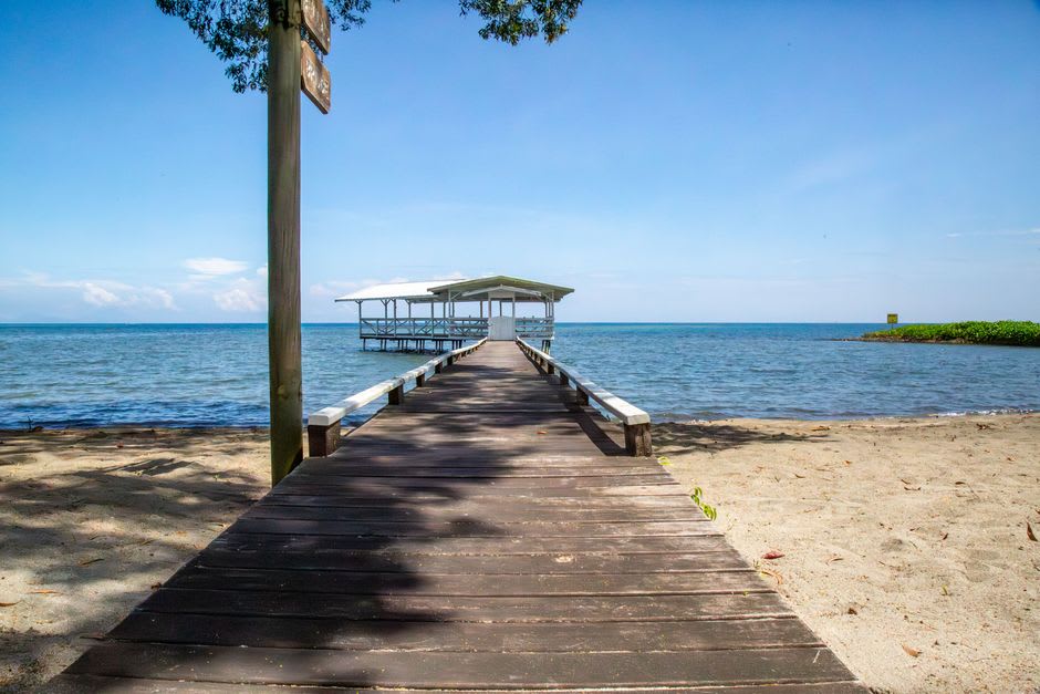
Almost nobody I met on this trip had been to Isla del Tigre, and several didn’t seem entirely sure Honduras had a Pacific coast at all — which is fair, since the country’s fifteen-mile stretch of it, tucked into the Gulf of Fonseca between El Salvador and Nicaragua, gets a fraction of the attention the Caribbean side receives. I took a small lancha from the mainland port of Coyolito, a twenty-minute crossing over water so calm it barely registered as a boat ride, and watched the island’s volcanic cone grow steadily larger against a hazy horizon shared, unusually, by three countries at once.
Amapala, the island’s main town, was actually Honduras’s principal Pacific port until the early twentieth century, and it still carries the faded grandeur of that role — wooden buildings with wraparound balconies, a crumbling customs house, streets that clearly used to matter more than they currently do. I walked the waterfront in the early evening as fishermen brought in the day’s catch, and an older man selling fried fish from a cart told me, unprompted, about the years when ships from San Francisco used to call here regularly, a detail he related with visible pride despite it having ended before he was born.
The hike up the volcanic cone itself, which anchors the island’s roughly circular shape, took about two hours on a rough trail through dry tropical forest that thinned as the elevation increased. From near the summit, on a clear morning, you can see volcanoes in three different countries at once — Nicaragua’s Cosigüina across the gulf, El Salvador’s Conchagua on the opposite shore — a genuinely rare geographic party trick that made the sweaty climb worth it several times over.
The beaches ringing the island are black volcanic sand, a striking contrast against the calm blue-gray water of the gulf, and I spent an afternoon at Playa Grande with almost the entire beach to myself, aside from a family grilling fish over a fire built directly in the sand. There’s a stillness to this side of Honduras that felt different from anywhere else on the trip — less performed for visitors, mostly because there simply aren’t many.
When to go: November through April avoids both the rainy season and the worst of the Pacific coast’s heat. Boats to the island run from Coyolito throughout the day; there’s no fixed schedule, so expect to wait a little for the lancha to fill.
Keep exploring
More from Honduras
 honduras
 La Ceiba
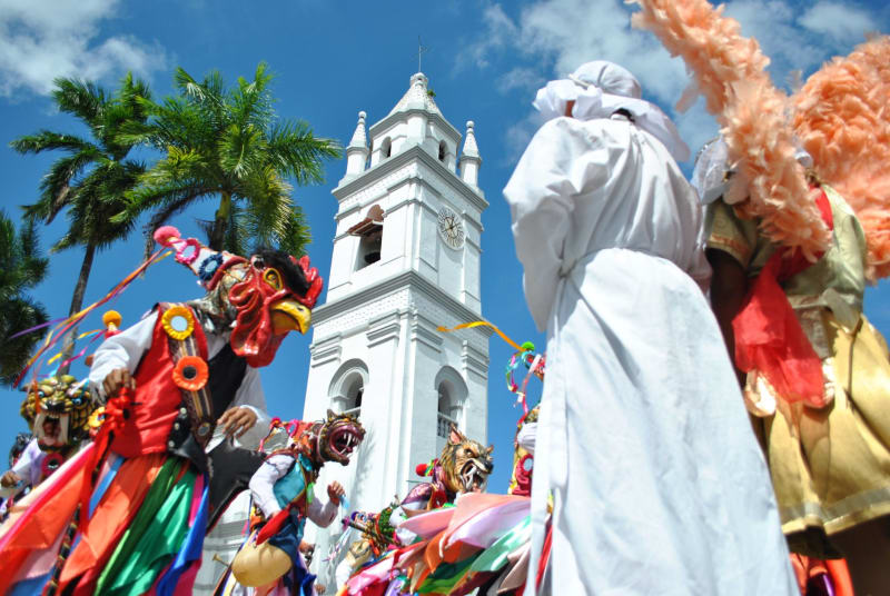
Honduras's self-declared party capital where white-water rivers tumble out of cloud forest and straight into a Caribbean coast that never quite sleeps.
Explore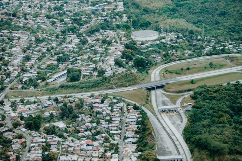 honduras
 La Mosquitia
The largest intact rainforest north of the Amazon — a roadless wilderness of river channels, indigenous villages, and almost complete silence that requires effort to reach and rewards that effort without reservation.
Explore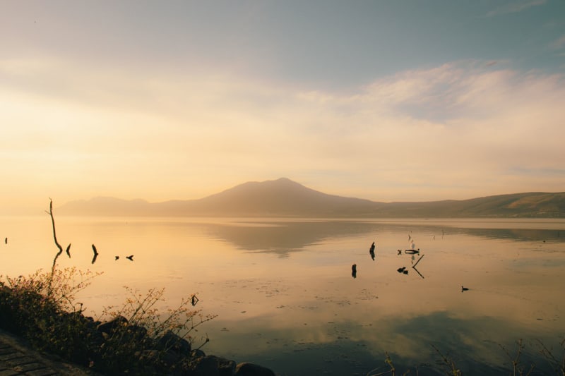 honduras
 Lago de Yojoa
Honduras's only natural lake sits between two national parks in a bowl of cloud forest, producing the country's best craft beer and some of Central America's most rewarding birdwatching.
Explore honduras
 Marcala
A misty highland coffee town in La Paz department where cooperatives have quietly built one of Central America's most respected organic coffee regions.
Explore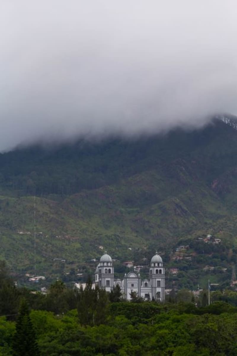 honduras
 Omoa
A drowsy Caribbean beach town near the Guatemalan border, guarded by an eighteenth-century Spanish fort that once held off pirates and now mostly holds off nothing at all.
Explore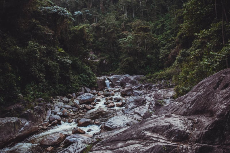 honduras
 Pico Bonito
A wall of cloud forest rising from the Caribbean coastal plain to nearly 2,500 meters — one of the most biologically dense national parks in Central America, accessible from La Ceiba in thirty minutes and seemingly from a different planet.
Explore