The largest active volcano on Earth by volume, a vast shield rising gently but relentlessly over half the Big Island.
I underestimated Mauna Loa completely the first time I saw it, driving up from Kona toward the saddle road. It doesn’t rise into a dramatic peak the way Mauna Kea does — it just keeps going, a slope so gradual and so enormous that your brain struggles to register the scale until someone tells you the numbers. This single mountain makes up roughly half the landmass of the entire Big Island. It is, by volume, the largest active volcano on the planet.
A Shield, Not a Cone
Mauna Loa’s gentle profile is exactly what defines it as a shield volcano — thin, fast-flowing lava has built it up over hundreds of thousands of years into this broad, low-angle dome rather than a steep classic cone. We stopped at the Mauna Loa Observatory road overlook, where NOAA has measured atmospheric CO2 continuously since 1958 (the famous Keeling Curve), and the air up there felt genuinely different — thin, dry, disorienting after weeks at sea level in Kona.
Still Very Much Alive
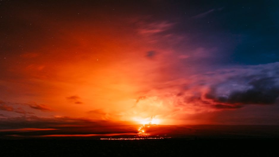
Mauna Loa erupted in November 2022 for the first time in nearly forty years, sending lava flows toward the saddle road that came within a few kilometers of cutting the highway between Kona and Hilo entirely — locals told us about watching the glow from their porches for weeks. Standing near the flow boundary that our guide pointed out, fresh black rock still sharp-edged and barely weathered next to older, more subdued flows, made the whole “active volcano” designation feel immediate rather than theoretical.
The Summit Trek
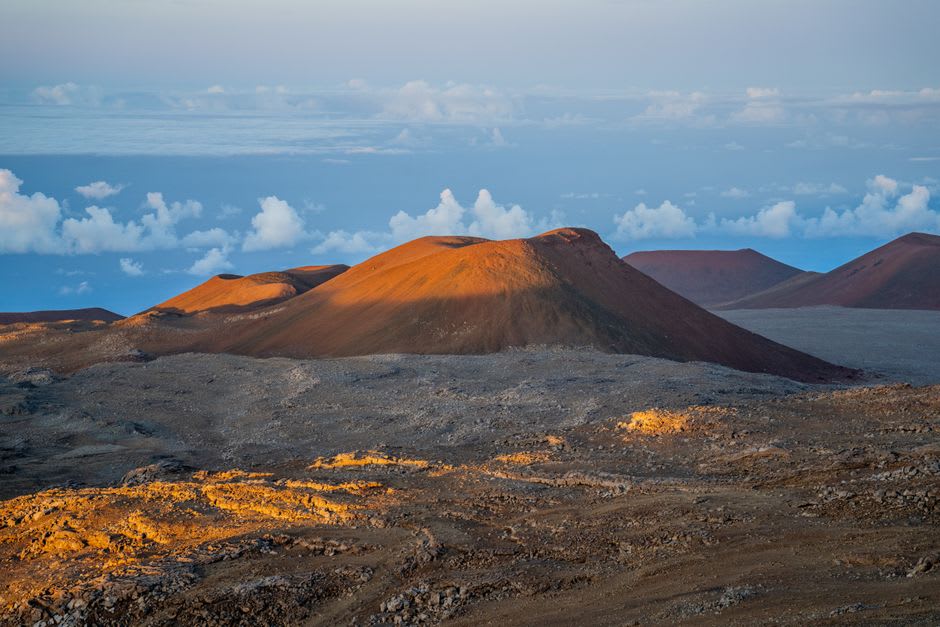
The summit caldera, Mokuaweoweo, sits at over 4,000 meters and is reachable by a serious multi-day backcountry hike from the Mauna Loa Trailhead — not something we attempted on this trip, but a ranger at the Volcanoes visitor center described it with enough reverence that I’ve kept the trail notes for a future visit. For most people, the mountain is best appreciated the way we did: from the saddle road overlooks, and from the sheer disorientation of realizing how much of the island beneath your feet is just this one volcano.
When to go: Year-round for the saddle road viewpoints, though weather at altitude can shift fast and the observatory road sometimes closes for snow in winter. Check current eruption and access status with the National Park Service before planning any hike toward the summit.
Keep exploring
More from Hawai'i
 hawaii
 Moloa'a Bay
A remote, undeveloped bay on Kaua'i's northeast coast, reached down a one-lane road through old orchards, with barely a building in sight.
Explore hawaii
 Molokai
The island that refused to become a resort, where the world's tallest sea cliffs drop into open ocean and the silence is deliberate, not accidental.
Explore hawaii
 Molokini Crater
A sunken volcanic crescent three miles off Maui's coast, its flooded caldera holding some of the clearest water and richest reef life in the state.
Explore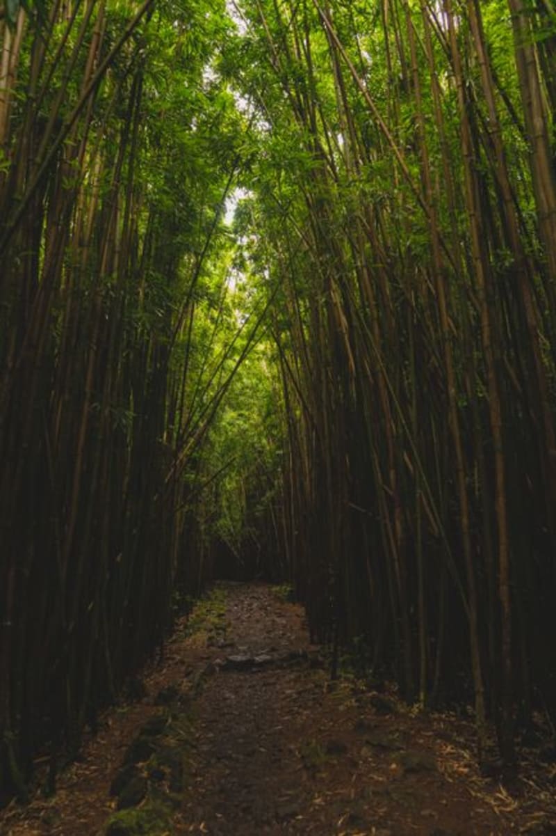 hawaii
 Munro Trail
A ridgeline 4x4 track and hiking trail climbing Lanai's highest peak through Norfolk pine forest, with views stretching to four other Hawaiian islands.
Explore hawaii
 Na Pali Coast
Kauai's inaccessible cathedral cliffs — 4,000-foot sea walls draped in waterfalls and accessible only by sea or trail.
Explore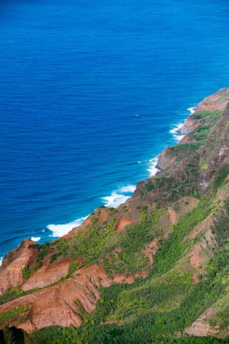 hawaii
 Nu'uanu Pali Lookout
A wind so strong it's a running joke, at the clifftop pass where a decisive 1795 battle sealed Kamehameha's conquest of Oahu.
Explore