Oahu's wild, roadless tip — a red-dirt trail through a nesting seabird sanctuary where monk seals haul out and the pavement simply stops.
There’s a point on Oahu where the highway simply gives up. You’re driving the Farrington Highway northwest out of Waianae, the pavement gets worse, and then it ends at a gate with a dirt lot and a handful of trucks. That’s Kaena Point, and the fact that no road actually reaches the tip of this island is, in my opinion, the best thing about it.
Walking to the Edge of Oahu
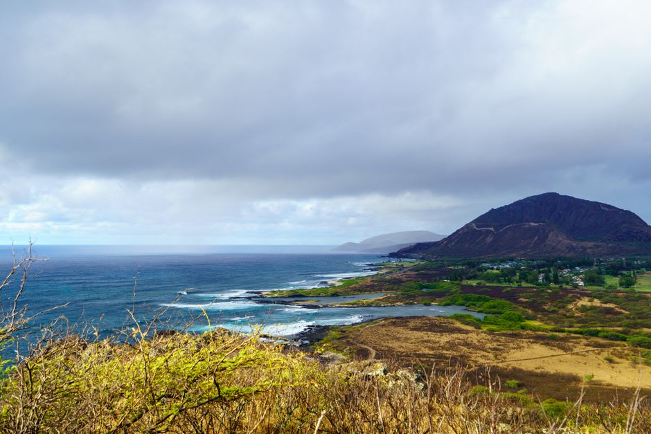
We parked at the Waianae side, which is longer and rougher than the Mokuleia approach from the north, but it’s the one that keeps you along the coast the whole way instead of cutting inland. The trail is old jeep track — red dirt, loose rock, no shade for most of its two and a half miles — running along a coastline that looks nothing like the postcard Oahu. No high-rises, no reef breaks with a lineup of surfers, just black lava shelves getting hammered by open ocean swell and a scrubby, wind-flattened landscape that felt more like Patagonia than Hawaii.
A Sanctuary Without a Gift Shop
The point itself sits inside a fenced natural reserve, built to keep predators out of one of the last places on Oahu where Laysan albatross and wedge-tailed shearwaters still nest on the ground. We stepped through the little predator-proof gate and the trail changed character entirely — burrows in the sand, birds that didn’t flinch at our footsteps, and a general sense of having wandered into a place that operates on rules older than the island’s tourism industry.
Lia spotted the first monk seal hauled out on the rocks before I did — a gray, boneless-looking lump that I mistook for driftwood until it lifted its head. Hawaiian monk seals are critically endangered, and Kaena is one of the more reliable places to see one resting undisturbed, provided you stay back and let it.
The Meeting of Two Coasts
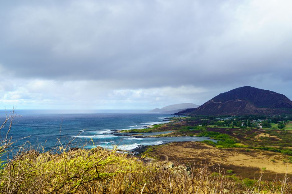
Technically, Kaena Point is where Oahu’s Waianae and North Shore coastlines meet, and you can feel the collision in the water — cross-currents, confused swell, waves arriving from two directions at once. In winter, the surf here turns violent enough to send spray fifty feet up the rocks. We came in the calmer shoulder season and still watched a wave detonate against the point with enough force that I stepped back instinctively.
There’s no facility out here, no snack stand, no sign of the Oahu most visitors know. Just wind, salt, birds, and a seal or two who couldn’t care less that you made the trip.
When to go: November through March for the best chance of seeing nesting albatross and the biggest, most dramatic surf (stay well back from the water). Go early morning to beat both the heat on the shadeless trail and the crowds — there’s no shade and no water source, so bring both yourself.
Keep exploring
More from Hawai'i
 hawaii
 Kahakuloa
A remote taro-farming village at the end of West Maui's cliffside road, one of the last places on the island where old Hawaii hasn't been paved over.
Explore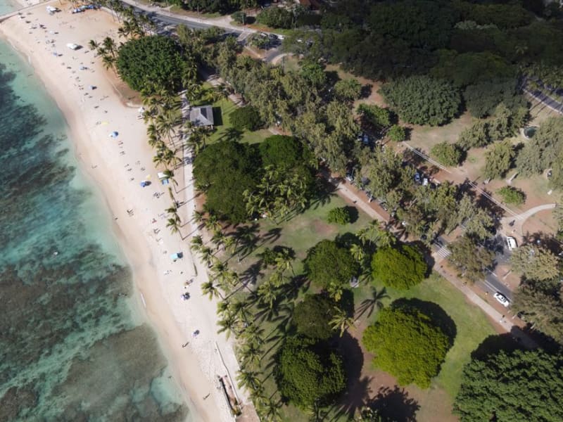 hawaii
 Kahekili Beach Park
A protected 'Turtle Town' snorkeling reef just north of Ka'anapali, popular with green sea turtles and a local surf and canoe scene most resort guests never notice.
Explore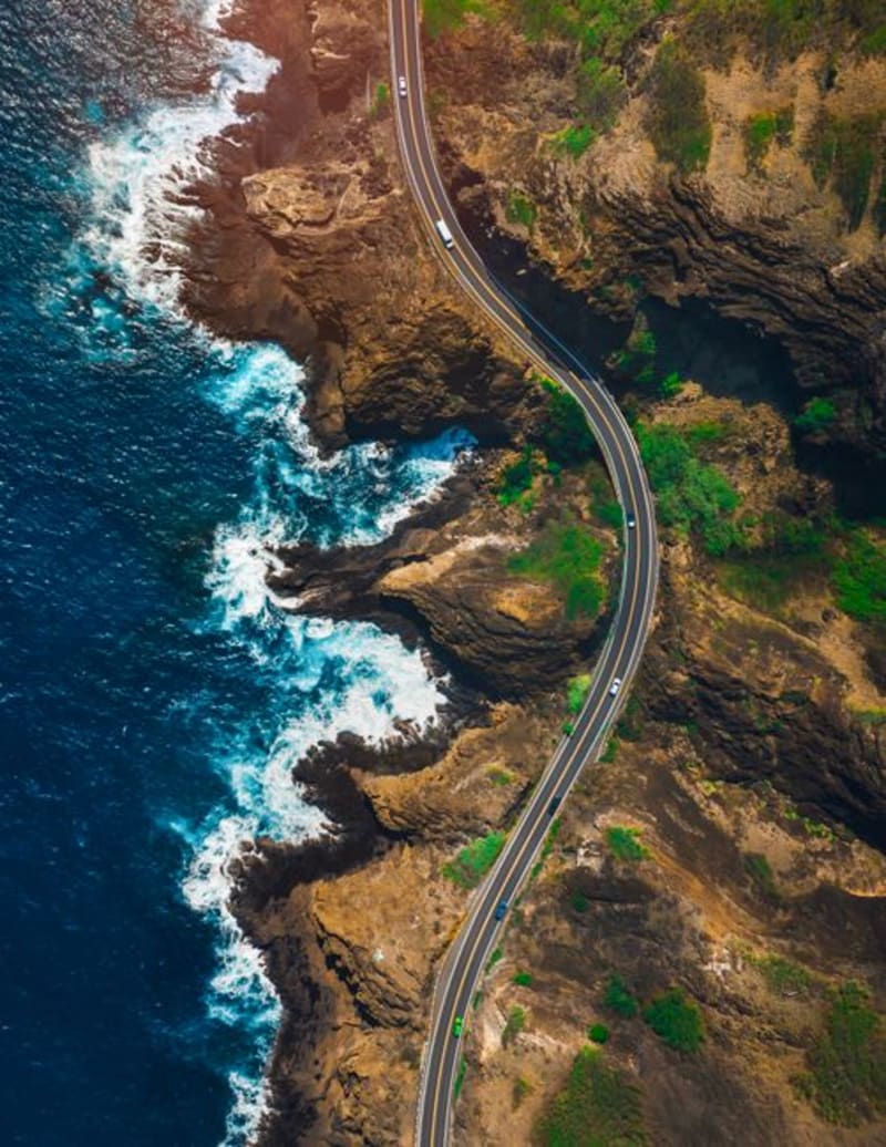 hawaii
 Kamehameha V Highway
The east-end coastal road on Molokai that turns a forty-minute drive into a two-hour event, threading fishponds, one-lane bridges, and jungle so thick it presses against the windshield.
Explore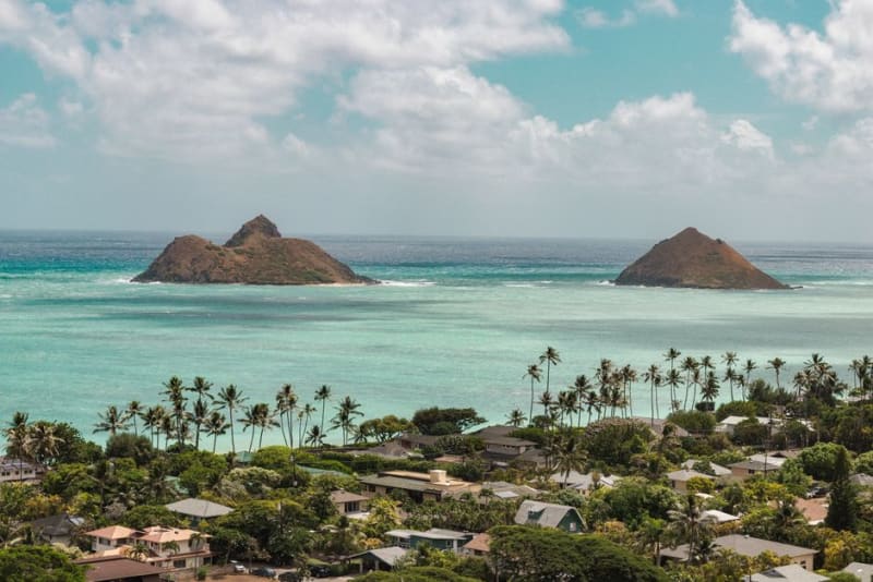 hawaii
 Kailua
The beach town Waikiki wishes it still was — powder sand, kayaks to the Mokulua islands, and a main street with no high-rises in sight.
Explore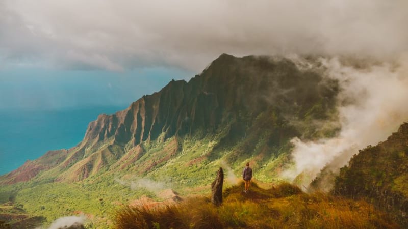 hawaii
 Kalaupapa Lookout
The overlook above Molokai's north shore where the peninsula and the world's tallest sea cliffs appear together in one impossible frame, no mule ride required.
Explore hawaii
 Kalihiwai Bay
A hidden north shore bay reached down an unmarked road, where a river mouth, a sandy beach, and a waterfall all share the same valley.
Explore