Volcán de Agua
"Every photo of Antigua has this volcano in the background, and almost nobody asks what it actually did in 1541."
The dormant giant looming over Antigua, whose 1541 mudslide erased a capital city and whose crater rim still rewards a brutal pre-dawn climb.
You cannot take a rooftop photo in Antigua without Volcán de Agua wedging itself into the frame — that impossibly symmetrical green cone, dormant but never quite forgettable, sitting there like a permanent extra in every postcard. I’d looked at it for a week before I decided I wanted to stand on top of it instead of just admiring it from a hotel terrace with a mezcal in hand.
Starting Before the Birds
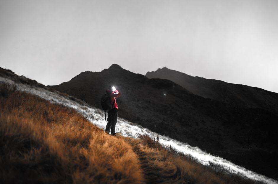
The hike starts from Santa María de Jesús, the Kaqchikel town at its base, and our guide had us moving by four in the morning, headlamps bobbing single file up a trail that turns from cobblestone to packed dirt to loose volcanic scree within the first hour. The lower slopes are farmed — rows of vegetables planted at an angle that seemed to defy basic physics — and then the cultivated land gives way to cloud forest, damp and close, where the only sound for long stretches was boots on wet leaves and someone’s labored breathing, which I’ll admit was frequently mine.
What the Mountain Did in 1541
Somewhere past the halfway point, my guide stopped to explain something that reframed the entire climb for me: this same slope is the source of the disaster that destroyed Ciudad Vieja, Guatemala’s second colonial capital, in September 1541. A period of heavy rain saturated the volcano’s upper crater lake and loose ash deposits until the whole mass gave way as a lahar — a fast-moving slurry of water, mud, and rock — and buried the town below, killing dozens including the Spanish governor’s widow. It’s part of why the volcano carries the name “de Agua,” of water, even though it hasn’t erupted lava in recorded history; its damage has always come from what the mountain holds and eventually releases, not what it burns.
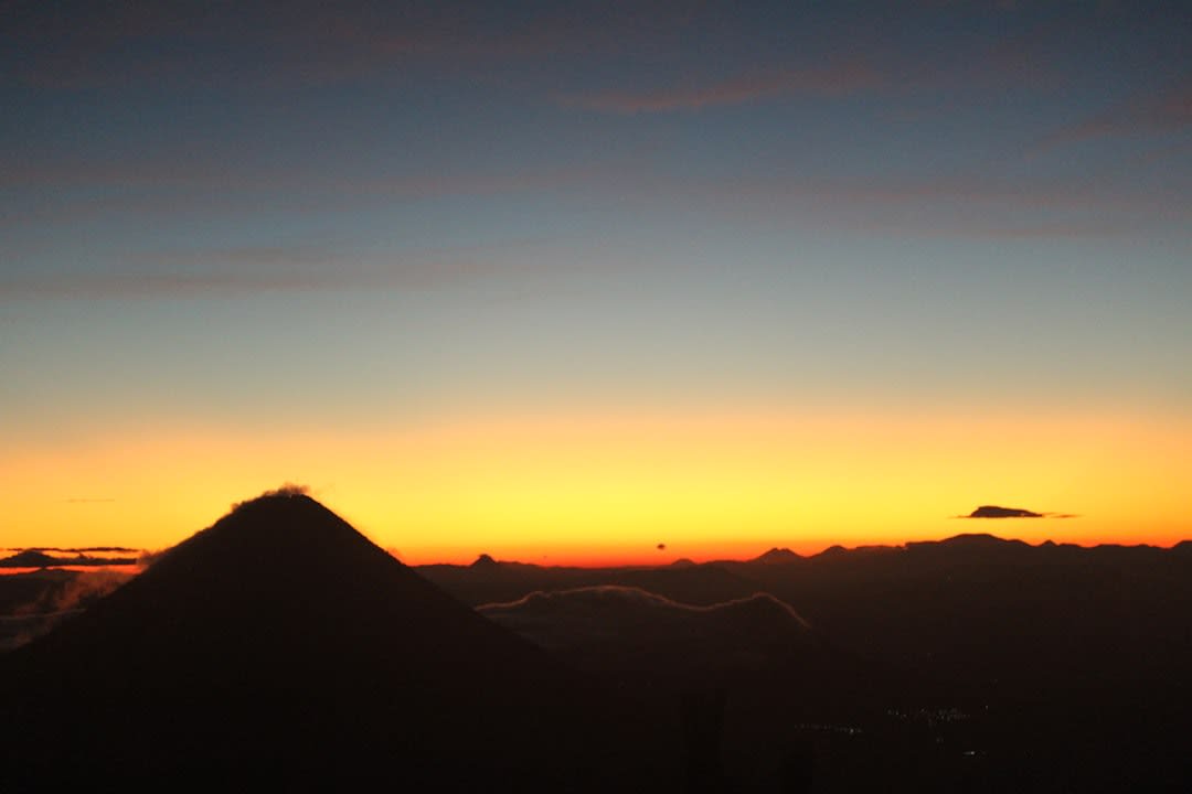
We reached the crater rim just as the sun cleared the horizon, and the view justified every labored step — a genuine sea of cloud stretched below us, punctured by the cones of Fuego, Acatenango, and Pacaya poking through like islands. The crater itself is a wide, grassy bowl, oddly peaceful for something with that history. I sat at the rim eating a hard-boiled egg someone in our group had packed, legs finally still, and thought about how strange it is that the same feature can be a killer and a sunrise viewpoint depending entirely on the century you’re standing in.
When to go: Climb between November and April, starting no later than 4am from Santa María de Jesús, since cloud cover almost always fills the crater and blocks the view by mid-morning.
Keep exploring
More from Guatemala
 guatemala
 Yaxhá
A vast Maya city stranded between two jungle lagoons in the Petén lowlands, where you can climb a temple at dusk and watch the forest swallow the sound of howler monkeys.
Explore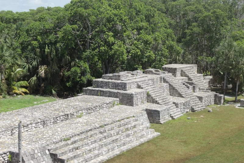 guatemala
 Zaculeu
A Postclassic Mam fortress on a ravine-cut plateau near Huehuetenango, restored so smoothly in the 1940s that it looks almost unreal against the pine hills.
Explore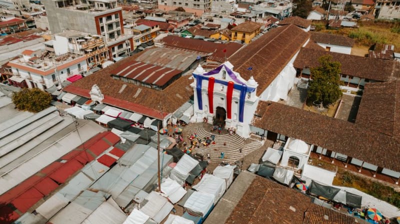 guatemala
 Zunil
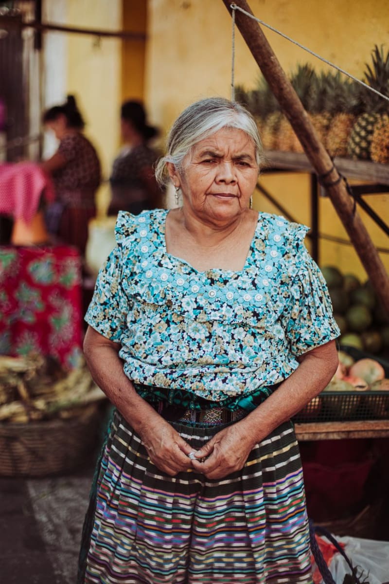
A Kaqchikel highland town where cigar smoke curls around the folk saint Maximón and the market spills bright textiles onto cobblestone.
Explore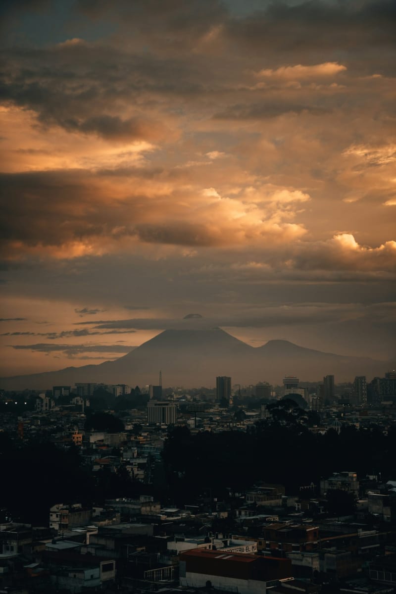 guatemala
 Acatenango
An overnight volcano trek where you camp in freezing wind just to watch its neighbor, Fuego, erupt in the dark a few kilometers away.
Explore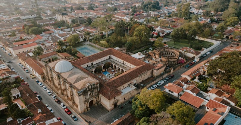 guatemala
 Antigua Guatemala
Cobblestone streets, crumbling baroque convents, and active volcanoes on the horizon — Antigua never lets you forget time.
Explore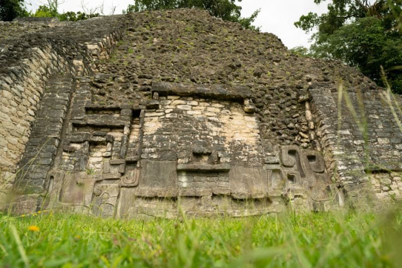 guatemala
 Ceibal
A Late Preclassic Maya city on the banks of the Río de la Pasión, reached by boat from Sayaxché, with a rare circular pyramid unlike anything else in the region.
Explore