Uaxactún
"I watched the sun rise exactly where a Maya astronomer said it would, two thousand years after he calculated it."
A quiet Maya site near Tikal, home to the astronomical Group E complex the Maya used to track solstices and equinoxes with startling precision.
The dirt road north from Tikal to Uaxactún takes about forty-five minutes if it hasn’t rained, ninety if it has, and I made the mistake of going the day after a storm. My rental truck slid sideways through a mud pit that a local farmer waded into, laughing, to help push us out. That’s Uaxactún in a sentence: unglamorous, a little rough around the edges, and populated by people who still find you funny for showing up at all. Where Tikal gets several thousand visitors a day in high season, Uaxactún might get a dozen. I had Group E entirely to myself for the better part of an hour, and it remains one of the stillest, strangest places I’ve stood in Guatemala.
The observatory that still works
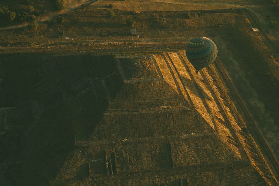
Group E is why archaeologists care about Uaxactún at all — it’s the site that gave its name to the “E-Group” architectural pattern found across the Maya world: a pyramid facing a long platform with three temples, arranged so that the sun rises directly behind the northern temple at the summer solstice, the southern temple at the winter solstice, and the central temple at the equinoxes. Standing on the western pyramid at dawn with my guide, a retired archaeology student named Rigoberto who grew up in the village, he showed me exactly where the sun would break the treeline that morning — and it did, almost to the position he’d traced with his finger. This wasn’t guesswork. Maya astronomers built this over two thousand years ago and calibrated it well enough that it still functions as designed.
A village that lives inside the ruins
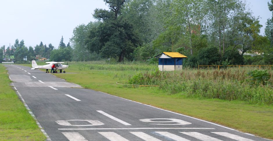
Unlike Tikal, Uaxactún isn’t fenced off from daily life — the modern village sits right among the mounds, and kids ride bicycles past unexcavated temples on their way to school. I stayed the night at a family-run guesthouse where the owner, Doña Ligia, cooked dinner over a wood fire and told me her grandfather had worked on the original excavations in the 1920s under Sylvanus Morley. There’s an airstrip nearby, cracked and grown over with grass, once used by looters and archaeologists alike before the road existed. Walking it at dusk, bats already cutting through the humid air, felt like standing at the edge of two different eras that had simply never bothered to fully separate.
When to go: Combine it with Tikal as an easy add-on day trip, ideally arriving before 6am to catch sunrise over Group E — March and September put the sun almost exactly on the equinox alignment, which is worth timing for if you can.
Keep exploring
More from Guatemala
 guatemala
 Volcán de Agua
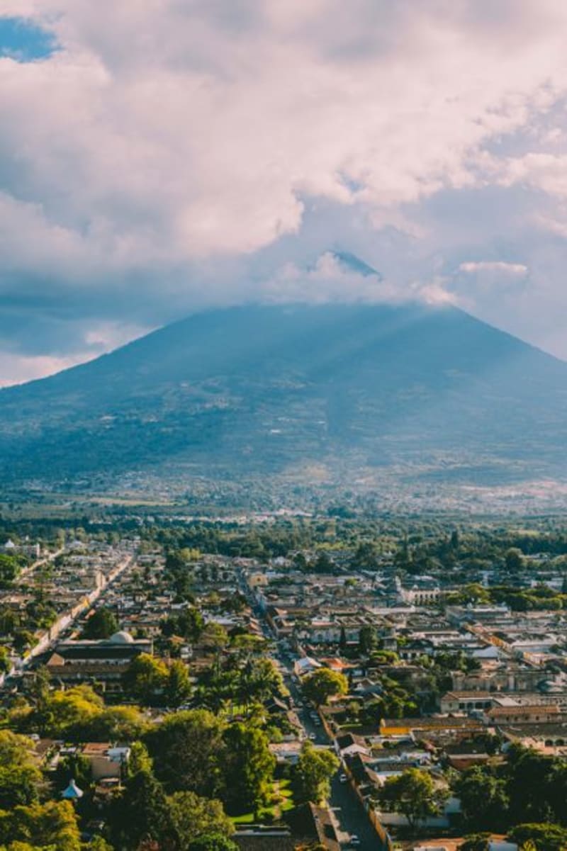
The dormant giant looming over Antigua, whose 1541 mudslide erased a capital city and whose crater rim still rewards a brutal pre-dawn climb.
Explore guatemala
 Yaxhá
A vast Maya city stranded between two jungle lagoons in the Petén lowlands, where you can climb a temple at dusk and watch the forest swallow the sound of howler monkeys.
Explore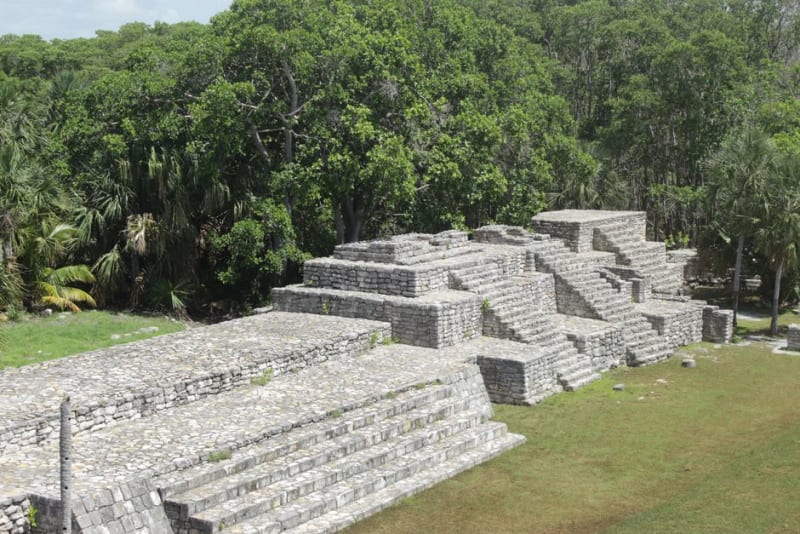 guatemala
 Zaculeu
A Postclassic Mam fortress on a ravine-cut plateau near Huehuetenango, restored so smoothly in the 1940s that it looks almost unreal against the pine hills.
Explore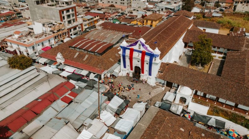 guatemala
 Zunil
A Kaqchikel highland town where cigar smoke curls around the folk saint Maximón and the market spills bright textiles onto cobblestone.
Explore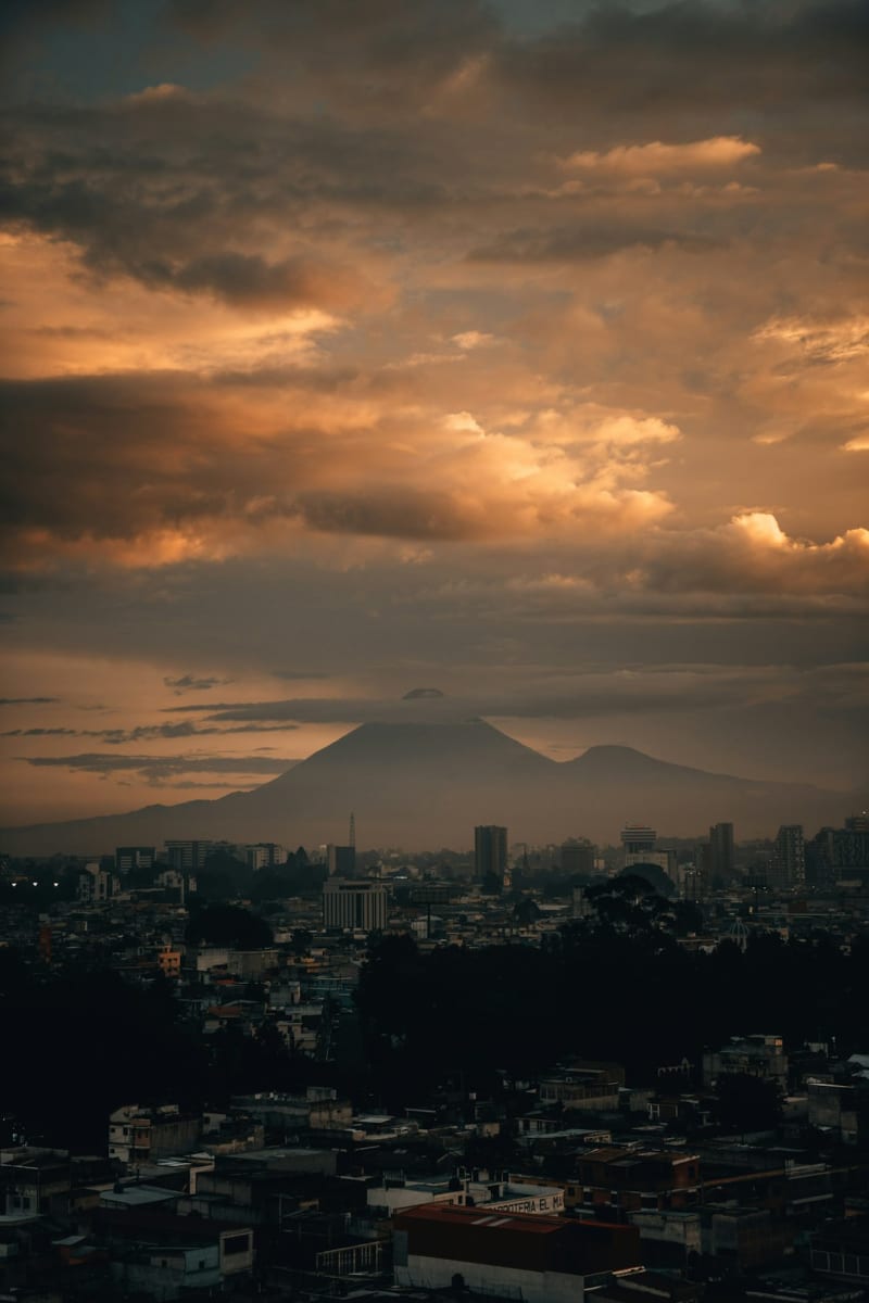 guatemala
 Acatenango
An overnight volcano trek where you camp in freezing wind just to watch its neighbor, Fuego, erupt in the dark a few kilometers away.
Explore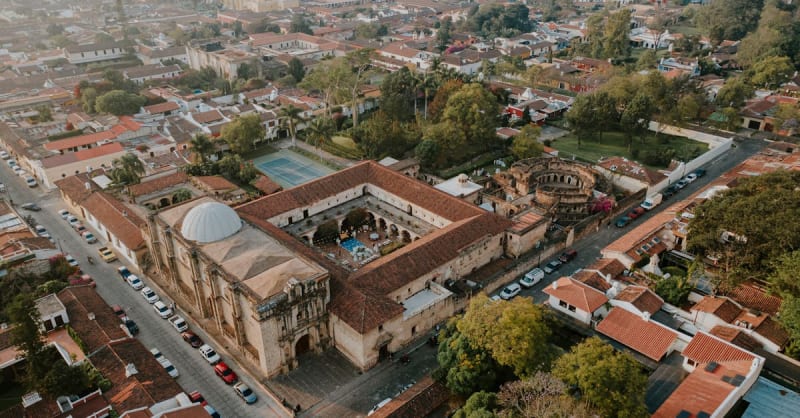 guatemala
 Antigua Guatemala
Cobblestone streets, crumbling baroque convents, and active volcanoes on the horizon — Antigua never lets you forget time.
Explore