Mixco
"Ten minutes from the capital and a hundred years from it, if you find the right street."
A colonial hill town turned capital suburb, all steep cobbled streets and unbroken views over Guatemala City, its own history distinct from the ruined fortress at Mixco Viejo up north.
People confuse Mixco with Mixco Viejo constantly, including, for the first hour I was there, me. Mixco Viejo is the Postclassic Maya fortress ruin two hours north; Mixco proper is a colonial-era hill town that has since been absorbed into Guatemala City’s western sprawl, close enough now to be its own municipality within the metro area but old enough to still feel, in its historic center, like a place that predates the highway running past it. I went up on a whim, on the advice of a colleague who lives there and complained, not for the first time, about how the daily minibus down into the capital takes twice as long as it should because of the switchbacks.
Streets Built for Mules, Not Cars
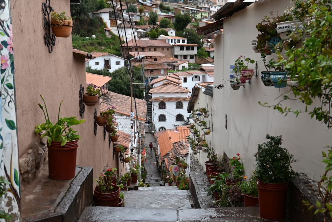
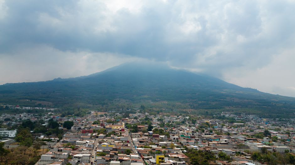
The old center of Mixco sits on a ridge, and its streets were laid out for foot and mule traffic centuries before anyone imagined a car needing to turn around on them. Walking up from the plaza, the cobblestones get steeper and rougher block by block, whitewashed colonial houses leaning at odd angles, until you reach a viewpoint where the entire western half of Guatemala City spreads out below in a haze of rooftops and antenna towers. My colleague’s neighbor, an older woman named Doña Elvira sweeping her front step, told me she’d lived on that same street her whole life and that the view “used to end at the trees — now it just ends at more city.” She said it without complaint, more as a fact of the decades than a grievance.
A Suburb With a Patron Saint
Mixco still keeps its own religious calendar and its own identity distinct from the capital it’s fused to — the parish church anchors a festival in August that draws marimba bands and food stalls up those same steep streets, and for a few days the town remembers it was a town before it was a commute. I happened to be there on a quieter weekday and ended up at a comedor with plastic tablecloths eating caldo de res while a radio somewhere played cumbia at a volume nobody seemed bothered by. It’s not a place with a checklist of sights. It’s a place where the checklist is: walk up, look down, eat something, walk back.
When to go: Any clear dry-season morning (November to April) for the best visibility over the capital; visit in August if you want the patron saint festival, but expect crowded streets and closed roads.
Keep exploring
More from Guatemala
 guatemala
 Mixco Viejo
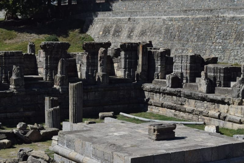
A ruined K'iche' fortress-city hidden in dramatic ravine terrain near Guatemala City, conquered by Alvarado in 1525 after a siege the Spanish nearly lost.
Explore guatemala
 Momostenango
A K'iche' Maya wool town where Saturday markets sell hand-loomed ponchos by the hundred, and where daykeepers still read the sacred 260-day calendar as a living practice, not a museum piece.
Explore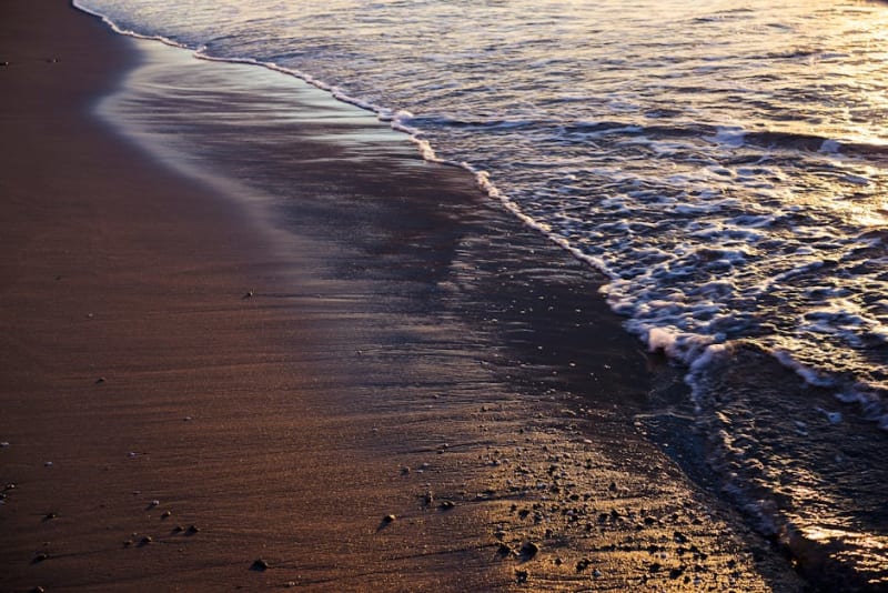 guatemala
 Monterrico
Black volcanic sand, Pacific surf, mangrove estuaries, and the only beach town in Guatemala where sea turtles nest under the stars.
Explore guatemala
 Nebaj
The remote heart of the Ixil Triangle, where distinctive red-and-purple traje and a still-raw civil-war history sit inside some of Guatemala's most isolated highlands.
Explore guatemala
 Pacaya Volcano
An active volcano close enough to Antigua for a half-day hike, where you roast marshmallows on rock still warm from the last lava flow.
Explore guatemala
 Panajachel
The lake's noisy, necessary front door — a strip of tourist shops and travel agencies that locals call Gringotenango, and the launch point for everywhere else on Atitlán.
Explore