Acatenango
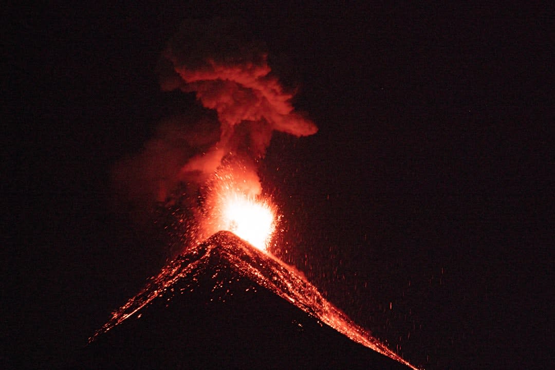
"Nobody tells you how badly your legs will shake on the ash slope, or how completely it's worth it at 2 a.m. when Fuego lights up the sky."
An overnight volcano trek where you camp in freezing wind just to watch its neighbor, Fuego, erupt in the dark a few kilometers away.
The first three hours of the Acatenango trek are simply brutal, and I say that as someone who thought I’d trained enough. The trail climbs almost four kilometers of elevation gain through farmland, then pine forest, then a stretch of loose volcanic ash that swallows your boots and gives back half your effort with every step. I remember stopping every twenty minutes, lungs burning in the thinning air, and looking back at Antigua shrinking into a small colonial grid far below. Our guide, a wiry Guatemalan named Byron who’d summited more times than he could count, kept pace without breaking a sweat and gently mocked our gasping, which somehow helped more than sympathy would have.
Camp with a front-row seat
The payoff arrives once you reach base camp, a cluster of A-frame shelters and tents pitched on a ridge at around 3,600 meters, directly facing Fuego — Acatenango’s neighboring volcano and one of the most consistently active in Central America. We arrived in late afternoon, cold seeping in fast as the sun dropped, and gathered around a fire pit with mulled wine passed hand to hand, waiting. Then, just as full dark set in, Fuego let out its first rumble — a deep, chest-felt boom followed a half-second later by a bright orange plume shooting straight up, chunks of glowing rock arcing down its slope. The whole camp went quiet and then erupted in noise at the same moment, everyone reaching for their phones, nobody quite believing what they’d just watched from this close.
The freezing summit push
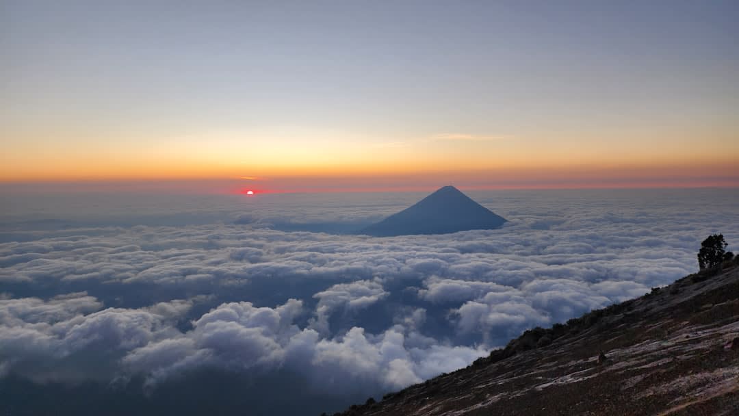
Most groups skip Acatenango’s actual summit, content with the eruption show from camp, but a smaller group of us set an alarm for four in the morning to push for the top before sunrise. It was, without exaggeration, the coldest I’ve ever been outdoors — wind strong enough to stagger us, frost forming on eyelashes, hands too numb to operate a camera zipper. We reached the summit as the sky went from black to deep blue, and stood looking down at Fuego erupting below us, its plume level with our own elevation, the curvature of the land laid out toward the Pacific in the distance. It lasted maybe fifteen minutes before the cold drove us back down, but it’s a fifteen minutes I still think about.
When to go: November to April for the clearest skies and driest trail, which matters enormously here since rain turns the ash slope into a miserable slog. Book with an agency that provides proper cold-weather gear — camp temperatures regularly drop near freezing regardless of season.
Keep exploring
More from Guatemala
 guatemala
 Antigua Guatemala
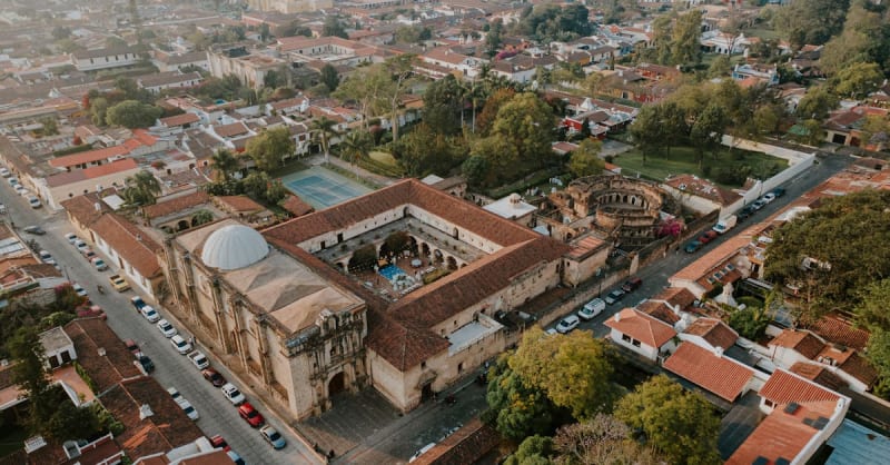
Cobblestone streets, crumbling baroque convents, and active volcanoes on the horizon — Antigua never lets you forget time.
Explore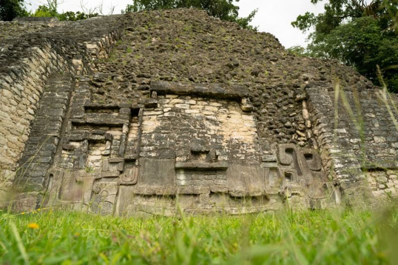 guatemala
 Ceibal
A Late Preclassic Maya city on the banks of the Río de la Pasión, reached by boat from Sayaxché, with a rare circular pyramid unlike anything else in the region.
Explore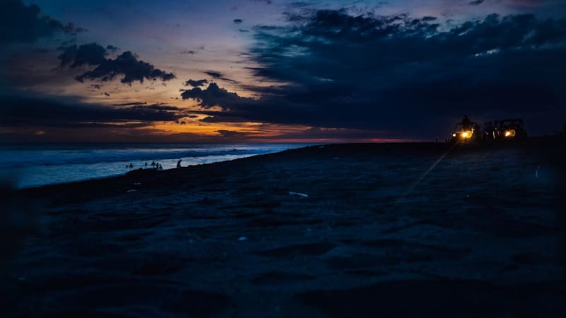 guatemala
 Champerico
A weathered Pacific fishing port with black-sand beaches and the rusting ruins of a historic pier, entirely off the radar of Guatemala's tourist circuit.
Explore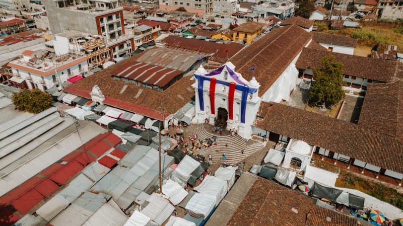 guatemala
 Chichicastenango
The largest indigenous market in the Americas, where K'iche' Maya traders have gathered on Thursdays and Sundays for centuries.
Explore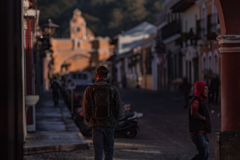 guatemala
 Chiquimula
A hot, dusty trading town in Guatemala's forgotten east, where cattle trucks and Copán-bound buses share the same sunbaked streets.
Explore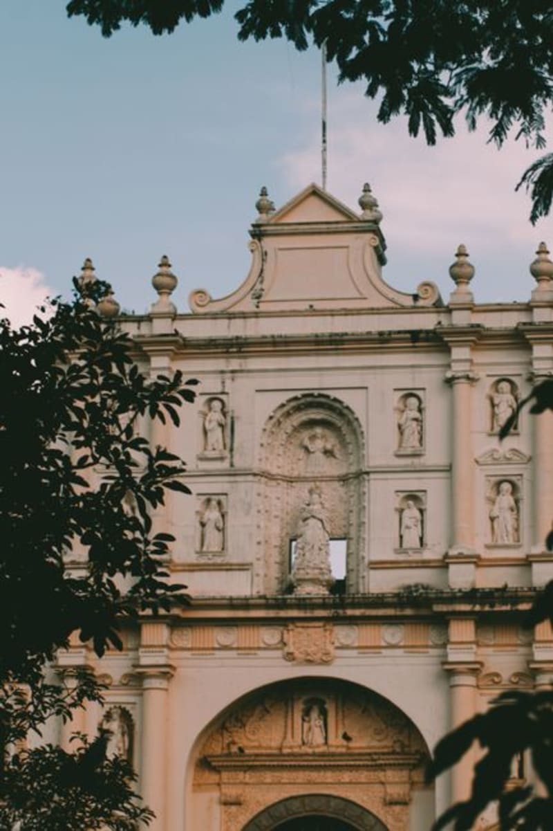 guatemala
 Ciudad Vieja
Guatemala's forgotten second capital, buried by a volcanic mudslide in 1541 and rebuilt in miniature at the foot of the mountain that destroyed it.
Explore